
Hello Friends
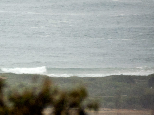
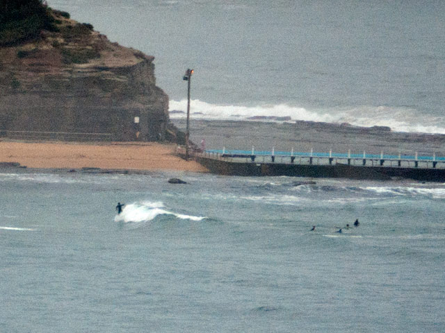
Have to say that I was hoping for something a little more inspiring this morning. But the wind didn’t push too hard last night so, while it’s relatively glassy as the day gets started, the surf is mostly pretty weak and small. The wind swell is plugging along at around the 7 second mark from the NE. But it’s struggling to get much above the 1.5 metre mark out at sea. And that means even a favourably exposed stretch like Northy isn’t showing much above the waist high mark – and that’s on the bigger ones.
Looking at the latest run of the forecast models and the riffs thereon, it appears that we’re in for another week or so of these marginal conditions. We’re about to switch over to a southerly regime that will then prevail for two to three days. Said models are still projecting some very big energy in the southern ocean but it just isn’t looking good for the east coast. Instead our brothers and sisters in southern Australia and Tas are looking like getting some hefty dollops of juice as the system moves by. It’s set to poke up into the Tasman, but the WAMs reckon all the good stuff will be over on the eastern side of the ditch (ie NZ west coasts). Thursday and Friday currently look like being pretty hefty at Shipsterns, but the conditions will probably be less than optimal on the wind front.
Have yourself a top old day one and all!
Weather Situation
A high pressure system near New Zealand extends a ridge to Queensland coast. A trough moving along NSW coast is likely to become slow moving in the north during next few days. During Monday another high will move southwest of Australia gradually extending a ridge to New South Wales south and central coasts while New Zealand high moves to the southeast.
Forecast for Monday until midnight
Winds: Northwesterly 5 to 15 knots tending southerly 15 to 25 knots around midday then tending southeasterly 10 to 20 knots by early evening. Winds tending east to southeasterly up to 15 knots later in the evening. Seas: Up to 2 metres decreasing to below 1 metre around midday. Swell: Northeasterly 1.5 metres.
Forecast for Tuesday
Winds: Southeast to southwesterly 5 to 10 knots increasing to 10 to 20 knots around dawn. Seas: Below 1 metre increasing up to 1.5 metres around dawn. Swell: Northeasterly about 1.5 metres. The chance of thunderstorms from the morning.
Forecast for Wednesday
Winds: Southerly 10 to 15 knots tending south to southeasterly up to 10 knots during the morning then tending east to northeasterly up to 15 knots during the afternoon. Winds tending north to northeasterly 10 to 20 knots during the evening. Seas: Below 1 metre increasing up to 1.5 metres during the evening. Swell: Easterly 1 metre tending southeasterly from midday.


