Hello Friends,
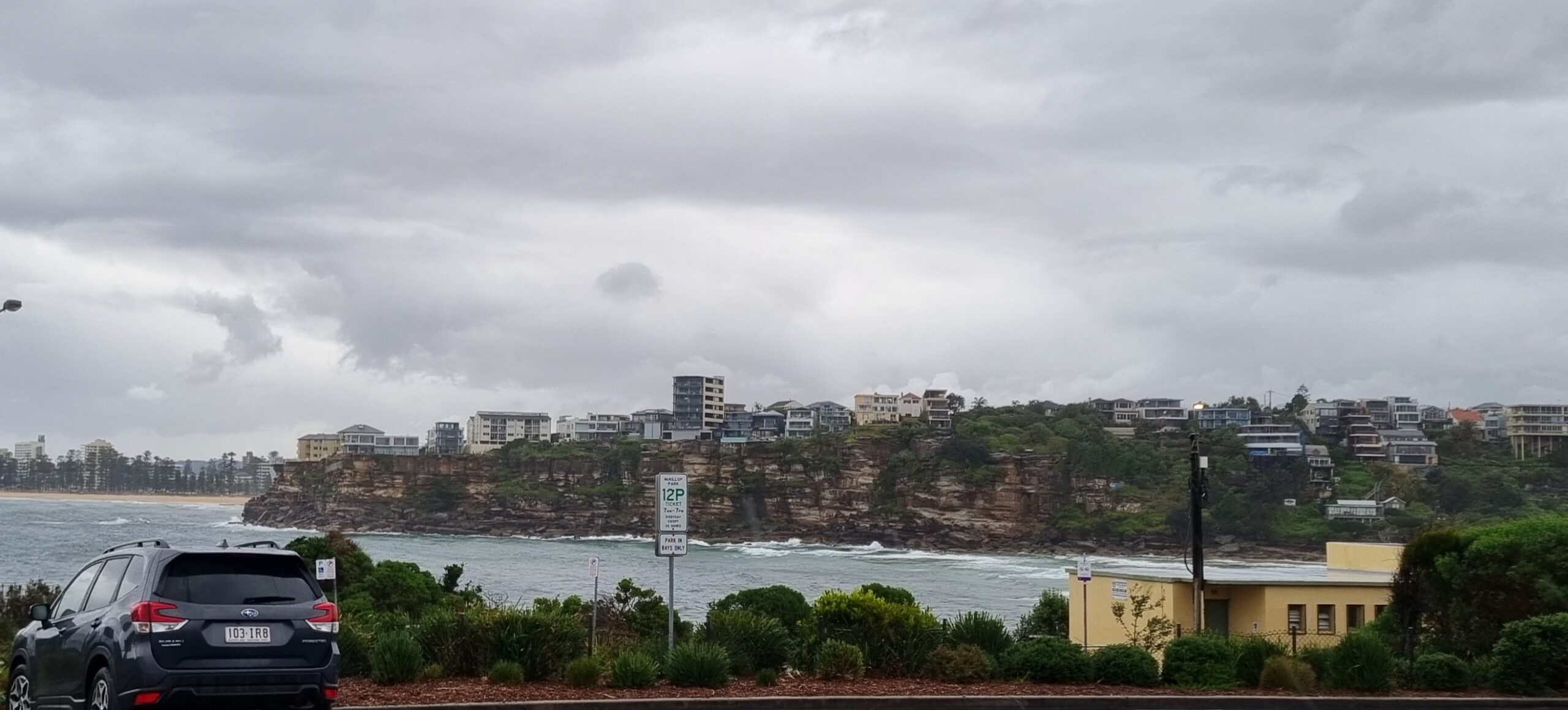
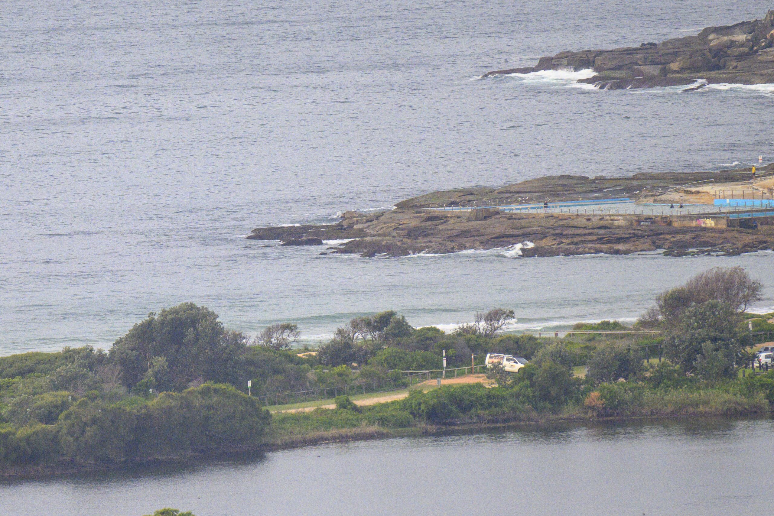
Nice morning in Sydney. There was a light N-NE breeze as we got underway, but as expected, there’s only the weakest of weak little NE wind swell’s showing along our beaches. It’s around the metre mark at sea, but the average period of about 6 seconds does not promise much power. Sets will be in the knee to waist high range for the most part and you’ll be doing a lot of waiting around for the little buggers too.
From the shape of the latest forecast models, it appears that we’re in for another week of small to not quite flat conditions as a succession of modestly sized, short period ENE wind swells pulse in to our region.
If you’re keen for something bigger, it looks as though you’ll have a choice of heading to far western Vicco or the far north coast and SE Queensland. The former region could be thumping toward the end of the week according to the projections, while the latter should have some size, but east winds will keep the quality at a fairly ordinary level at most spots. However some of the points could be the goods, especially up around Noosa toward the end of the week…
Weather Situation
A high over the Tasman extends a ridge over New South Wales. This high is expected to remain semi-stationary throughout the week, bringing north to northeast winds to most of the coast.
Forecast for Tuesday until midnight
Winds: North to northeasterly 15 to 20 knots. Seas: 1 to 1.5 metres increasing to 1.5 to 2 metres later in the evening. Swell: Easterly about 1 metre.
Forecast for Wednesday
Winds: Northeasterly 20 to 25 knots increasing to 25 to 30 knots around midday. Seas: 2 metres increasing to 3 metres around midday. Swell: Easterly 1 metre.
Forecast for Thursday
Winds: North to northeasterly 20 to 25 knots becoming northeasterly 25 to 30 knots during the evening. Seas: Up to 3 metres. Swell: Easterly 1.5 metres.


