Hello Friends,
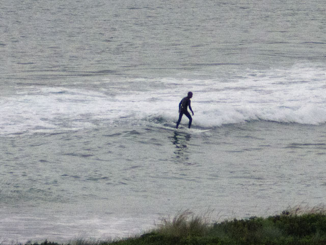
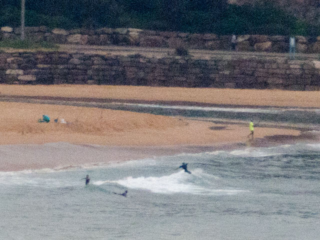
Well, that’s disappointing. I was hoping for a small improvement this morning compared to yesterday, but alas, it seems to have dropped back again from very marginal to extremely marginal to flat. There was a tiny, tiny little peak just off the beach at Northy this morning, but people were so close to shore you’d have had no trouble conversing with them. Around at the Dee Why to No Man’s stretch, it was much the same deal. Swell at sea is less than a metre from the ESE and maybe 8 seconds apart, so the rider at Dee Why was doing well to catch the sub-knee high specimens dribbling slowly in before 0700. Tide was high at around 0400 and will hit the low about 1030 before heading back to the next high about 1615. Not that it matters much.
Despite the presence of juicy little low pressure system off to the south of Tasmania, it does not look as though we’re going to benefit in any way from it in the Sydney region. Some riffs on the model data are suggesting we may get a wee bump in size for tomorrow morning at spots that like the east wind swell that is currently on tap for us.
Looking ahead, there are however some interesting prospects (still) showing on the models for the east coast early next week. This morning’s run of the data is showing a solid south pulse developing late on the 20th and into the 21st and then persisting for 48-72 hours or so. The numbers at this stage are in the 2.5-3 metre range with a 10-12 sec power setting. The Bureau is saying we could have sunny conditions and winds out of the NW to SW for the earlies…
This projection has been sitting in the forecast data for a couple days now, so fingers crossed that Huey comes to the party with a little pre-xmas cheer…
Go well one and all!
Weather Situation
A low pressure trough is bringing a southerly change to southern and central parts of the New South Wales coast today, before weakening and stalling in the north. A weak pressure pattern will see light winds return to much of the coast early Friday, before a deep low to the south of Tasmania brings a westerly change across the coast by early Saturday.
Forecast for Thursday until midnight
Winds: Northerly 10 to 20 knots ahead of an early south to southwesterly change 15 to 25 knots, easing to 10 to 15 knots later in the evening. Seas: 1 to 1.5 metres increasing to 2 metres around midday. Swell: Easterly 1 metre. Isolated thunderstorms from the late morning.
Forecast for Friday
Winds: Southerly 5 to 15 knots becoming light during the morning then tending northeast to northwesterly up to 10 knots around midday. Winds increasing to northeast to northwesterly up to 15 knots during the afternoon. Seas: Below 1 metre. Swell: Easterly 1 metre.
Forecast for Saturday
Winds: West to northwesterly 10 to 15 knots increasing to 10 to 20 knots during the morning. Seas: Below 1 metre increasing up to 2 metres during the morning then decreasing to below 1 metre during the evening. Swell: Easterly 1 metre.