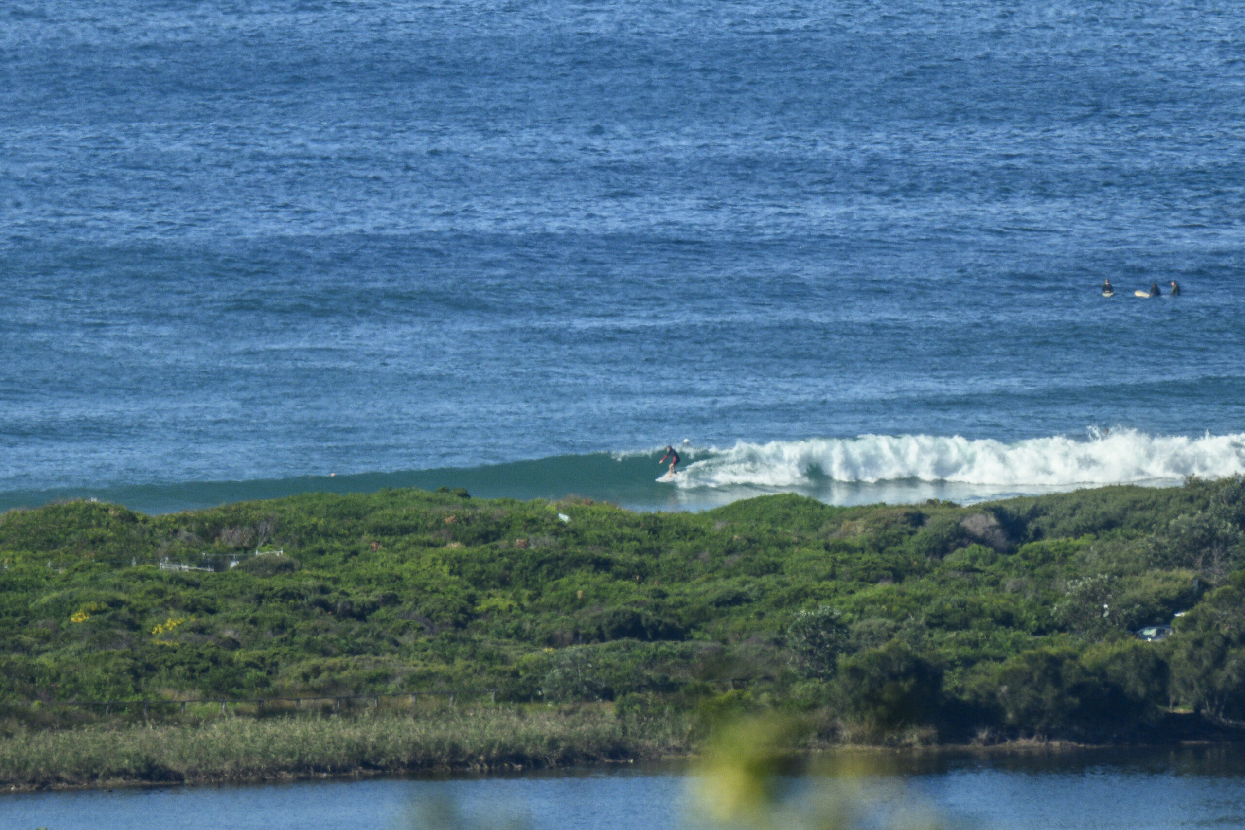
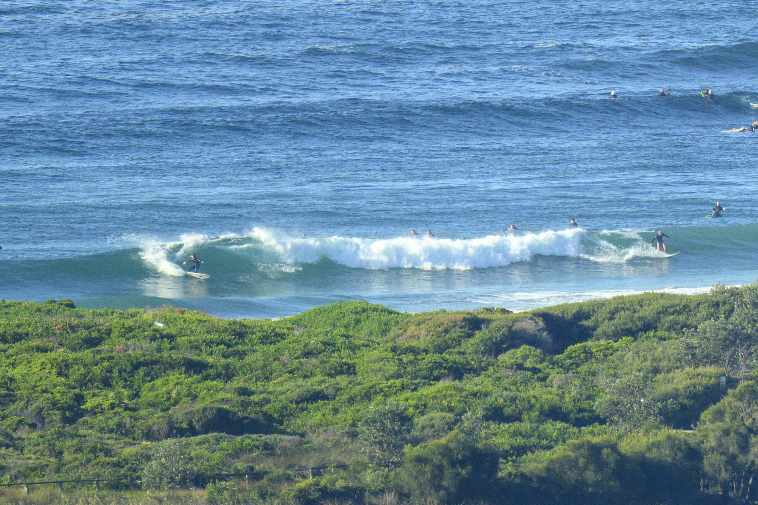
Surf forecast issued Thursday 13 January 2011: Seven day outlook for Sydney:
Well kids you know how you’ve had waves all week (even if they haven’t been great because of the mostly onshores) from the easterly wind that’s been blowing across a lot of ocean… well you’re gonna get some more…
This time TC Vania which is moving away from Oz will be sending out a better pulse swell than the shorter period windswell (even though it’s been coming a long way too).
Mind you, it shouldn’t be ‘huge’- mostly comparable to the odd sizeable stuff there’s been through this week – but it will be more noticable because there’ll be more of it.
It should start hitting up the coast by the start of the weekend and work its way down. There’ll be the odd larger ones on Saturday but the consistently bigger ones shouldn’t happen till later Sunday when the period will be more consistently longer.
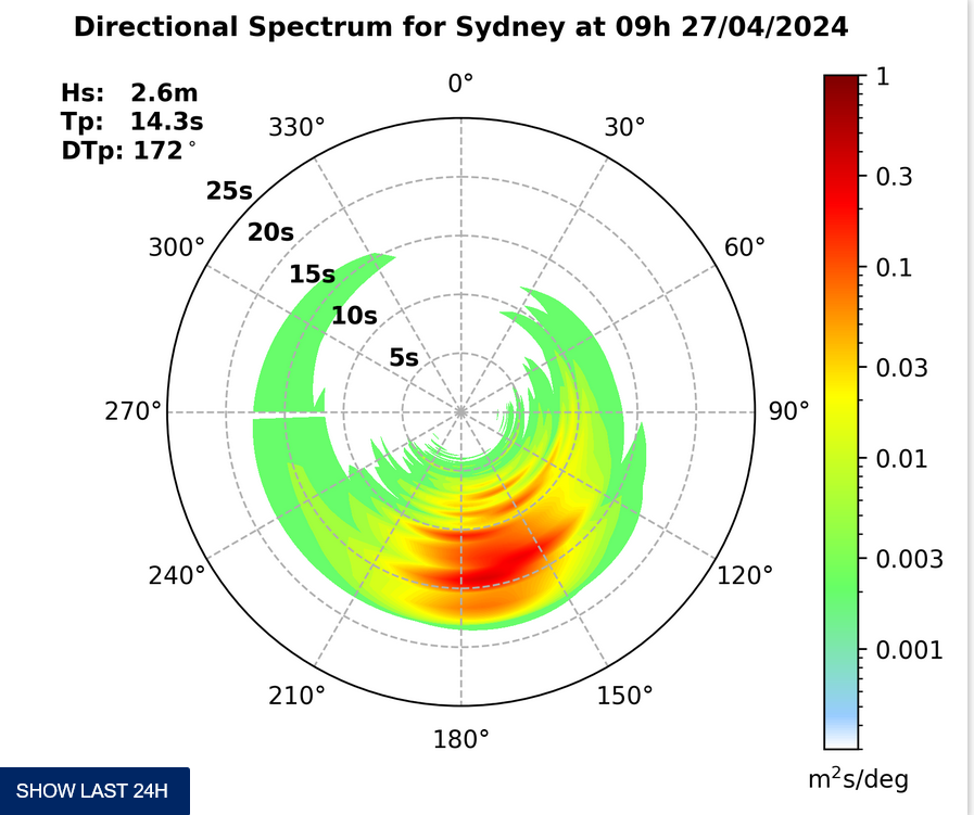
For the average beachgoer, same as with this week when the waves have been averaging 1.5- 3 metres East at 6-10 sec according the the buoy , they should exercise caution and swim between the flags.
For those looking forward to the Avalon Beach Surf Swim on Sunday conditions should still be good. Swell will be from the East Northeast which means after you slip out in the North Av rip you’ll have the swell and the NE wind rolling along, floating you down the back of the course, with a surf to take you in to the finish in the middle of the beach.
Water temp is a refreshing 21, slightly down from 23 earlier in the week.
Surf outlook:
Friday: similar to earlier this week – in the 1-2 metre range East North East.
Saturday: ditto but mostly around 2 metres.
Sunday: similar in the morning, with the odd large one – coming up more in the arvo.
Monday: 2+ metres.
Tuesday: ditto.
Wednesday: 1-2 metres East
Thursday; dropping back to around 1 metre.
Weather from the Bureau:
Forecast for the rest of Thursday
- Summary

- Possible shower.
- Chance of any rain: 30%

Metropolitan area
Partly cloudy. The chance of showers. Winds east to northeasterly averaging up to 30 km/h.
Friday 14 January
- Summary

- Min 22
- Max 28
- Possible early shower.
- Chance of any rain: 40%

- Rainfall amount: 0 to 2 mm
Metropolitan area
Partly cloudy. The chance of showers during the morning. Winds northeasterly averaging up to 40 km/h becoming up to 45 km/h around midday.
Fire Danger – Low to Moderate
UV Alert from 9:00 am to 5:10 pm, UV Index predicted to reach 12 [Extreme]
| Location | Min | Max |
|---|---|---|
| Sydney | 22 | 28 |
| Penrith | 21 | 32 |
| Liverpool | 21 | 30 |
| Terrey Hills | 21 | 28 |
| Richmond | 21 | 31 |
| Parramatta | 21 | 30 |
| Campbelltown | 20 | 29 |
| Bondi | 23 | 26 |
Saturday 15 January
- Summary

- Min 22
- Max 28
- A little rain.
Metropolitan area
Cloudy. Patchy rain. Winds east to northeasterly averaging up to 25 km/h.
Sunday 16 January
- Summary

- Min 22
- Max 28
- Possible shower.
Metropolitan area
Partly cloudy. The chance of showers. Winds northeast to southeasterly averaging up to 30 km/h tending north to northeasterly up to 20 km/h later in the evening.
Monday 17 January
- Summary

- Min 21
- Max 28
- Shower or two.
Metropolitan area
Partly cloudy. Isolated showers. Light winds tending southeast to southwesterly up to 35 km/h during the morning.
Tuesday 18 January
- Summary

- Min 20
- Max 24
- Shower or two.
Metropolitan area
Partly cloudy. Isolated showers. Winds southeasterly averaging up to 20 km/h.
Wednesday 19 January
- Summary

- Min 19
- Max 25
- Shower or two.
Metropolitan area
Partly cloudy. Isolated showers. Winds southerly and light tending east to southeasterly up to 20 km/h during the afternoon.
Thursday 20 January
- Summary

- Min 19
- Max 26
- Shower or two.
Metropolitan area
Partly cloudy. Isolated showers. Winds south to southeasterly averaging up to 20 km/h.


