Hello Friends,
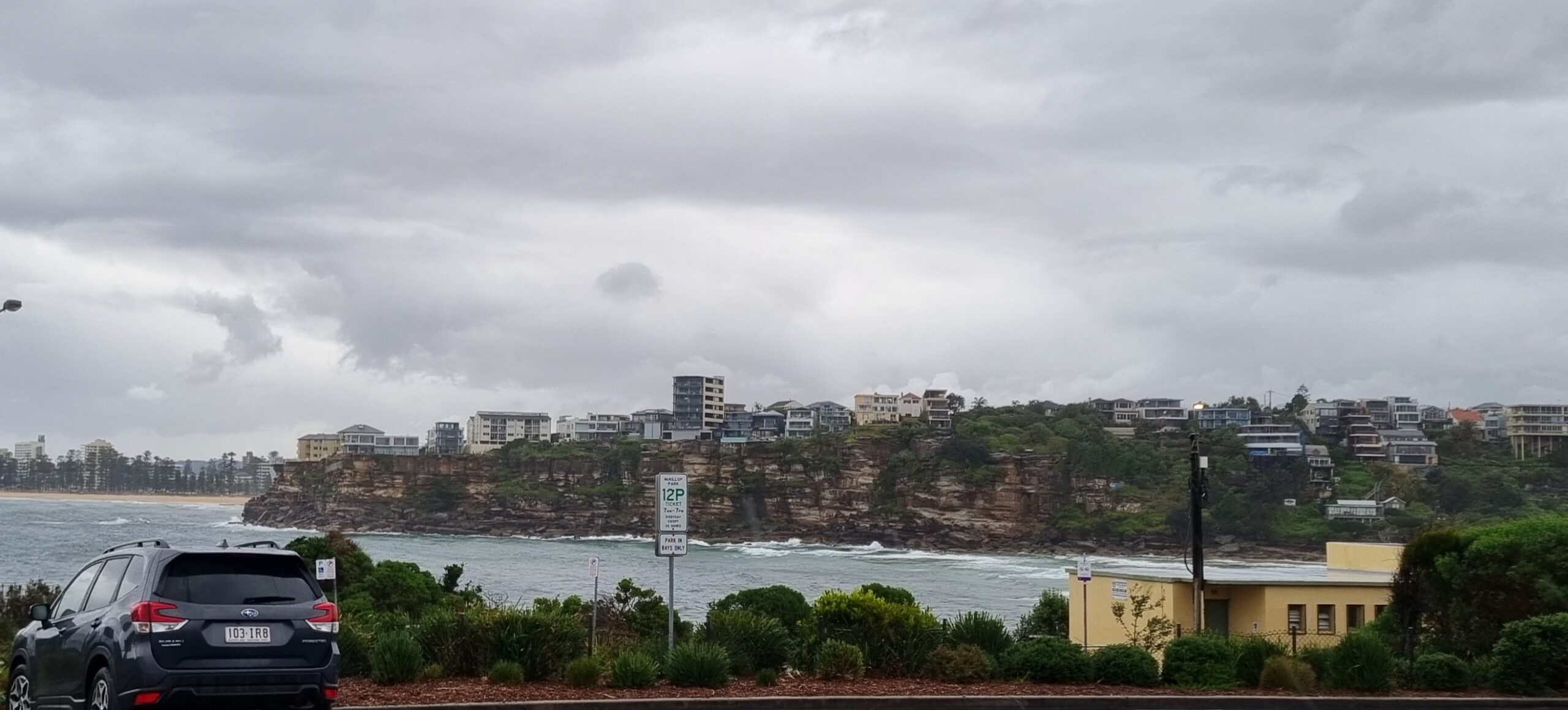
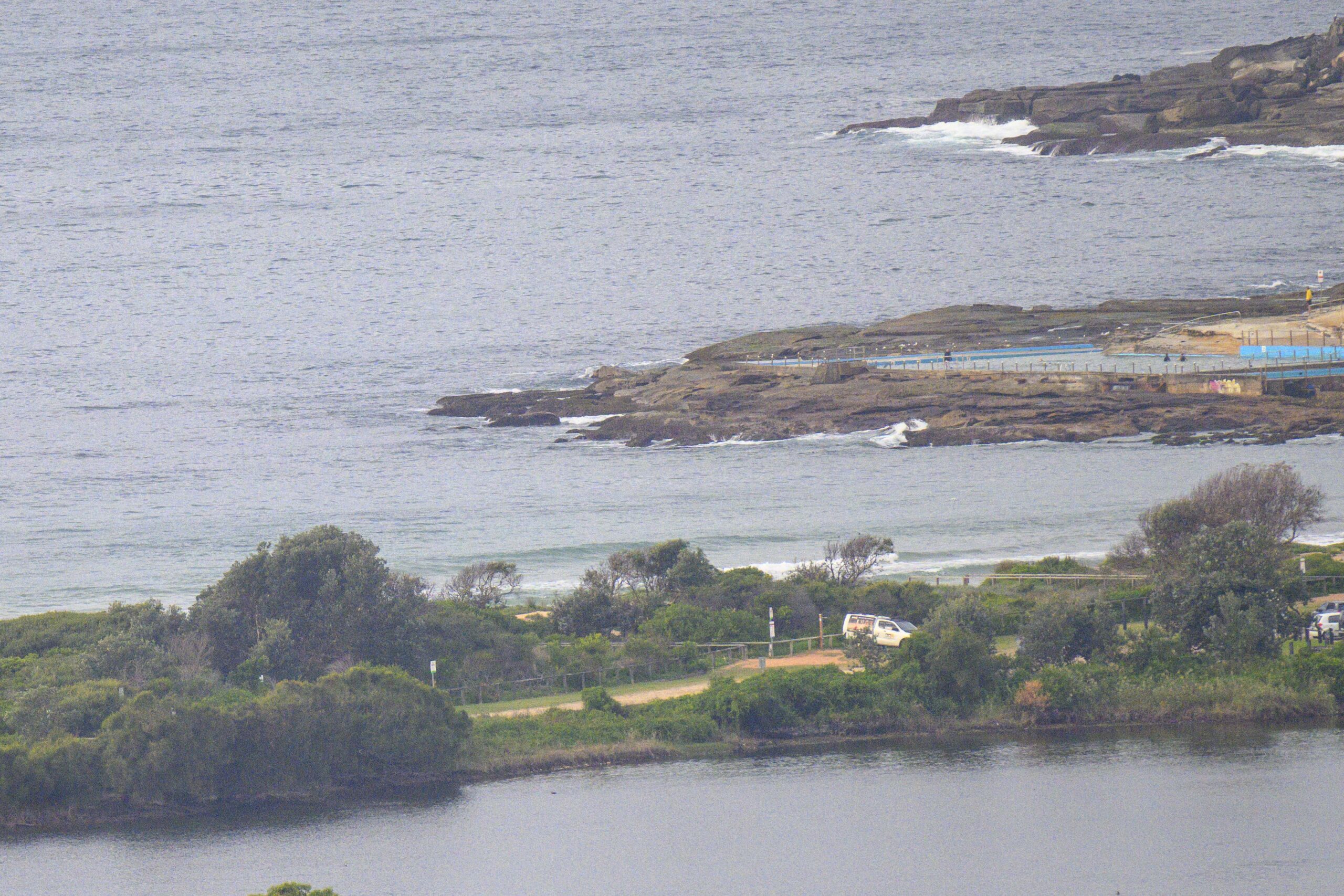
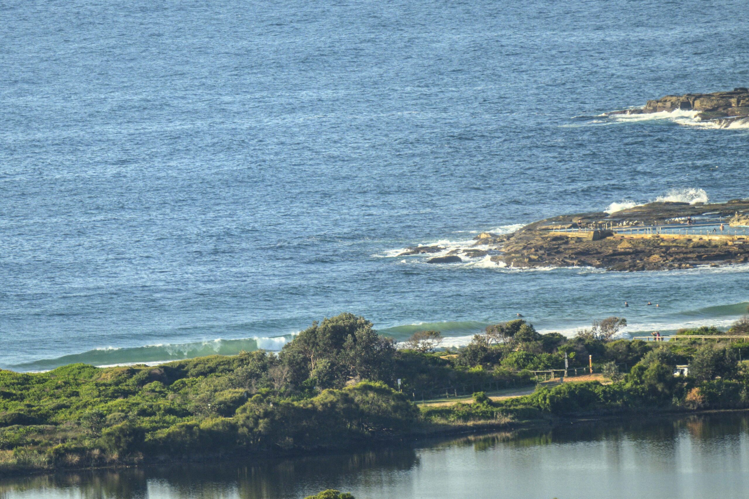
Rather small at Dee Why centre when I grabbed the snap this morning a little after 0730. There were two folk bobbing about in the low and glassy SSE swell. Out at sea it’s around the metre mark at about 8 seconds apart, so there isn’t much prospect of anything bigger coming in for awhile yet.
The wind is set to pick up later and by this evening we should see 15-20 kts of southerly across Sydney’s beaches. So I wouldn’t be expecting much in the way of an improvement to surf prospects today.
Wednesday should see a small uptick in energy levels as a long period south pulse briefly brushes past Sydney. It looks like the best hope will be for the early in the south corners as we’re set to have 15-20 kts of S-SE wind and the swell pulse could drop away pretty quickly if the models have it right. Tide will be low but coming in, so that could be helpful.
Thursday and Friday look like marking points along a declining graph that’s heading toward flatness for Friday
Couple other things to mention, first if you’d like to check out Tim Bonython’s 2011 Australian Surf Movie Festival I have a few pairs of tix to give away for the Friday Harbord Diggers show the 11th at 8pm and Saturday the 12th at 8pm at Palm Beach RSL. Tim says the live music for both nights will be provided by Juzzie Smith.
To be in with a chance, all you have to do is contact me via the link top right of our home page and tell me 1) your name 2) your second person’s name 3) your mobile number so I can confirm back.
On another front, if you look over at the right of the page, you’ll see I’m putting a 140×600 tower ad position up for auction. The winner’s ad will run continuously for 30 days on our home page. Bidding starts at a paltry $99 (about a 1/20th of what it would cost ordinarily). Just click on the ad, or go here, and you can register a bid. The auction closes next Monday night.
Have yourself a top old day!
Tides: H @1210, L @1820
Weather Situation
A strong high pressure system south of the Bight is moving slowly east, while a ridge extends north along the New South Wales coast. The high is forecast to reach the Tasman Sea during Wednesday before slipping away towards New Zealand later in the week. At the same time, the next cold front is expected to approach from the southwest, and is likely to affect southern and central parts of the coast during the weekend.
Forecast for Tuesday until midnight
Winds: South to southeasterly 10 to 15 knots becoming southerly 15 to 20 knots by early evening. Seas: Below 1 metre increasing to 1.5 metres later in the evening. Swell: Southerly about 1 metre.
Forecast for Wednesday
Winds: South to southeasterly 15 to 20 knots tending east to southeasterly 10 to 15 knots during the afternoon. Seas: 1 to 1.5 metres decreasing to below 1 metre by early evening. Swell: Southerly 1 to 2 metres.
Forecast for Thursday
Winds: East to northeasterly 5 to 10 knots becoming northeasterly 10 to 15 knots during the evening. Seas: Below 1 metre. Swell: Southerly about 1.5 metres.


