Hello Friends,
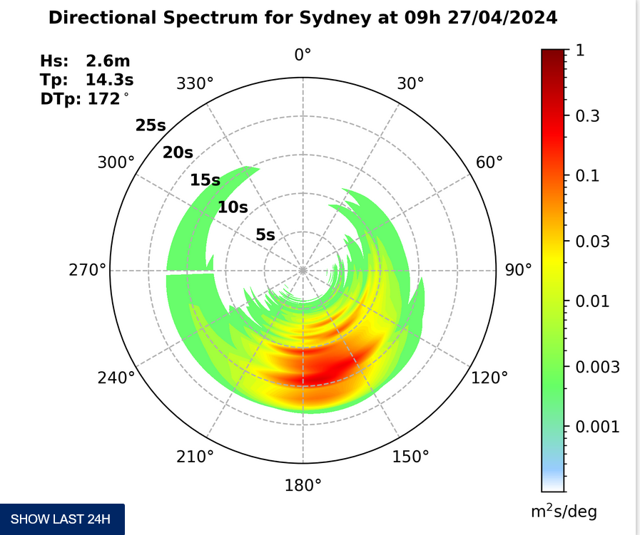
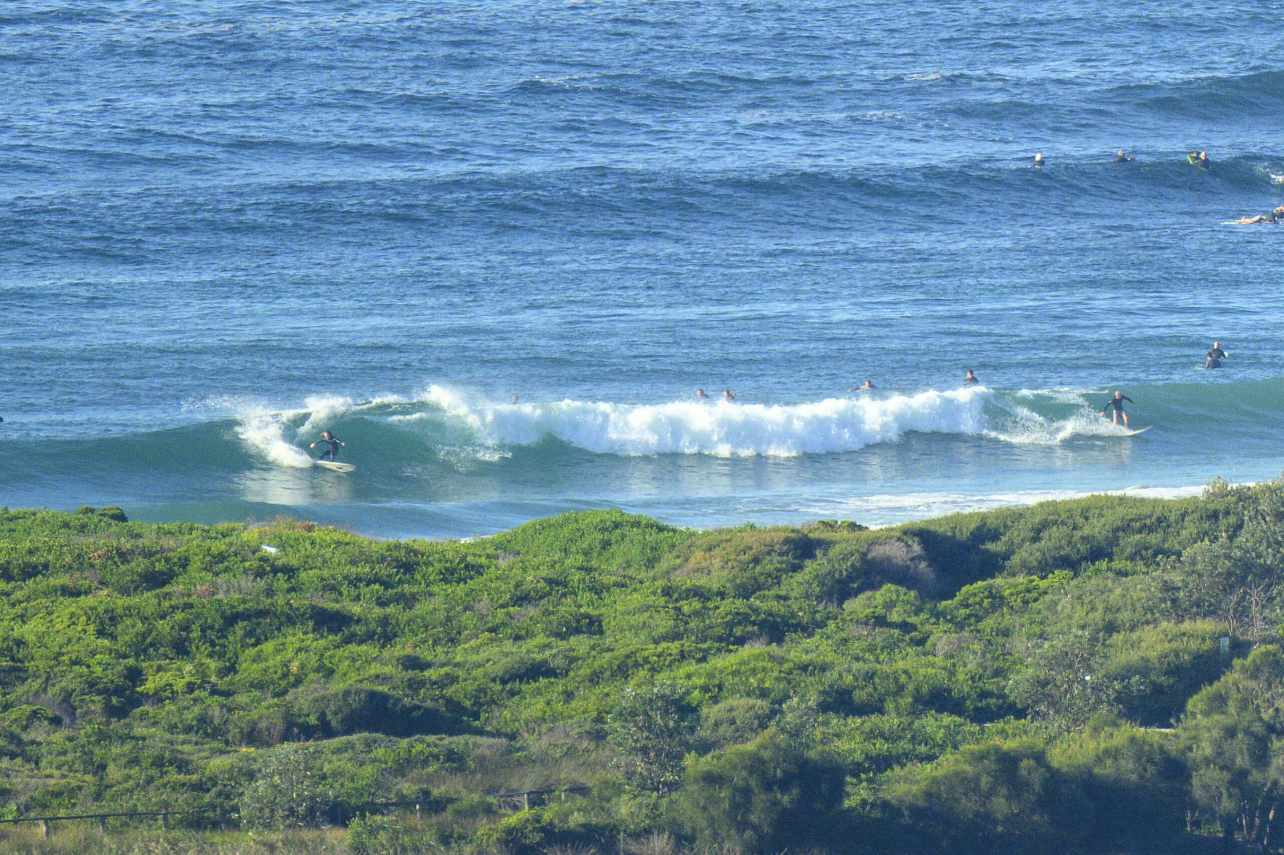
A little breezy in Sydney as the latest south pulse gradually fades away – kinda like Hosni Mubarak over in Cairo. Huey switched off the swell engine off yesterday afternoon when the average period slumped from 11 seconds to a more typical 8 seconds in the space of about 8 hours. This morning finds us with about a metre of SE windswell washing weakly in. There were a few folk in the beachbreak at Dee Why and three or four optimists at the point. Sets are about waist high on the beach but it looks as though we still don’t have much in the way of banks as there are many shutdowns.
From the shape of this morning’s forecast models it looks to me as though we’re in for weak and marginal but not flat conditions. Wind is going to go around to the NE as the day unfolds and by this afternoon should be pushing along at a reasonable pace. But, it doesn’t look as though we’ll get much windswell out of it. There might be some junky chest high bomb sets at the most exposed spots toward dusk.
The weekend looks pretty so-so to me, but I’m hoping the Goat’s schedule will allow him to jump in later today with a few thoughts on the outlook…
Have yourself a top old day!
TIDES: L @0850, H @1430
Weather Situation
A high pressure system over the southern Tasman Sea is slowly moving towards New Zealand maintaining a ridge to the New South Wales north coast. A cold front will bring a southerly change to the far south coast late Friday extending to the central coast on Saturday and weakening. Another high pressure system is expected to move south of the Bight during Saturday extending a ridge to the north coast behind the front.Forecast for Friday until midnight
Winds: North to northeasterly 15 to 20 knots increasing to 20 to 25 knots by early evening. Seas: 1 to 1.5 metres increasing to 1.5 to 2 metres during the afternoon. Swell: Southerly 1 metre tending easterly about 1 metre during the evening.Forecast for Saturday
Winds: Northerly 15 to 25 knots tending northwest to southwesterly 15 to 20 knots around dawn then tending southerly during the morning. Winds tending south to southeasterly 10 to 15 knots by early evening. Seas: Up to 2 metres. Swell: Easterly about 1.5 metres. The chance of thunderstorms from midday.Forecast for Sunday
Winds: Southeasterly 10 to 15 knots tending easterly 15 to 20 knots during the morning then tending east to southeasterly 15 to 25 knots during the afternoon. Seas: Below 1 metre increasing to 1 to 1.5 metres during the morning then increasing to 2 metres during the afternoon. Swell: Southerly about 2 metres.
T


