Hello Friends,
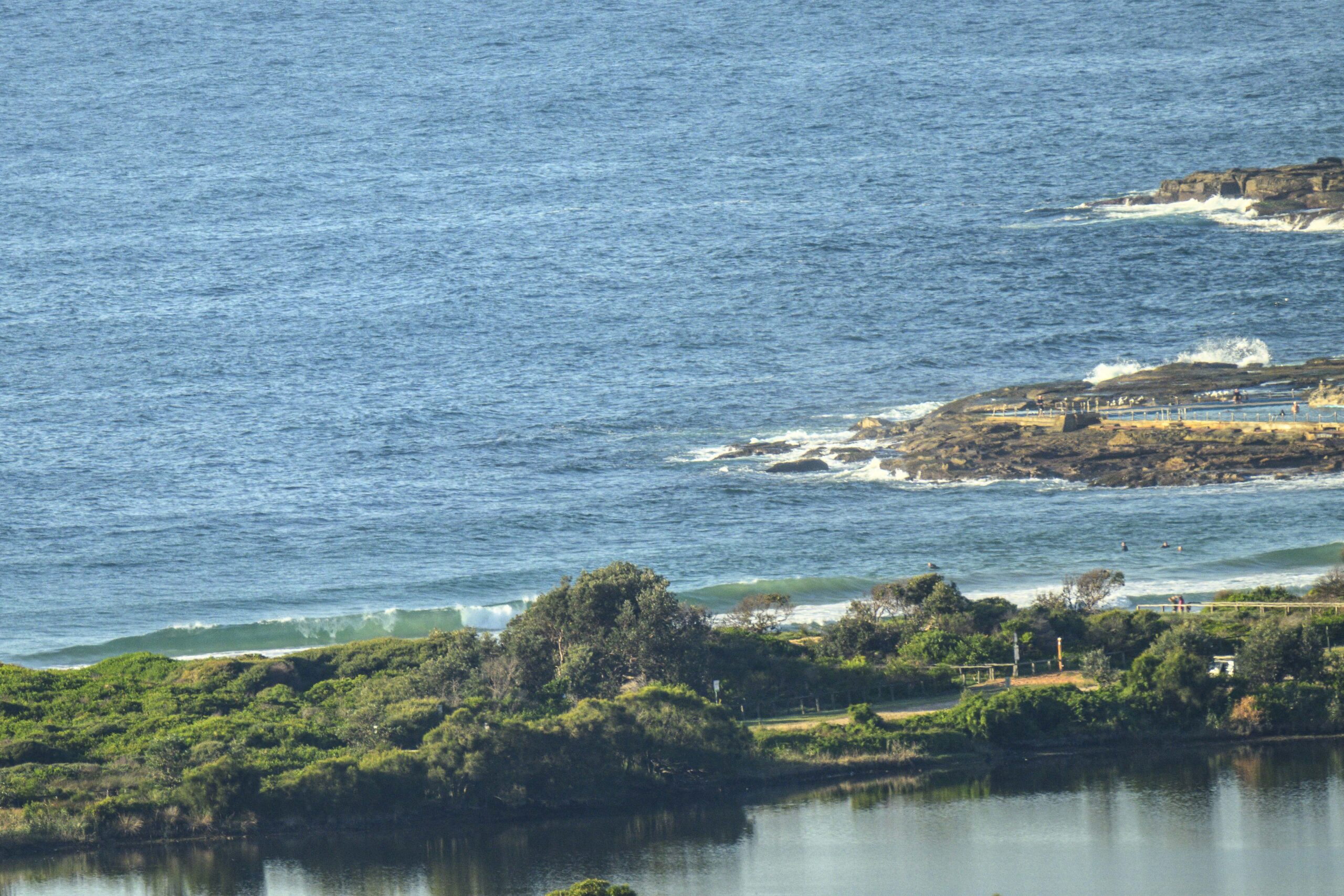
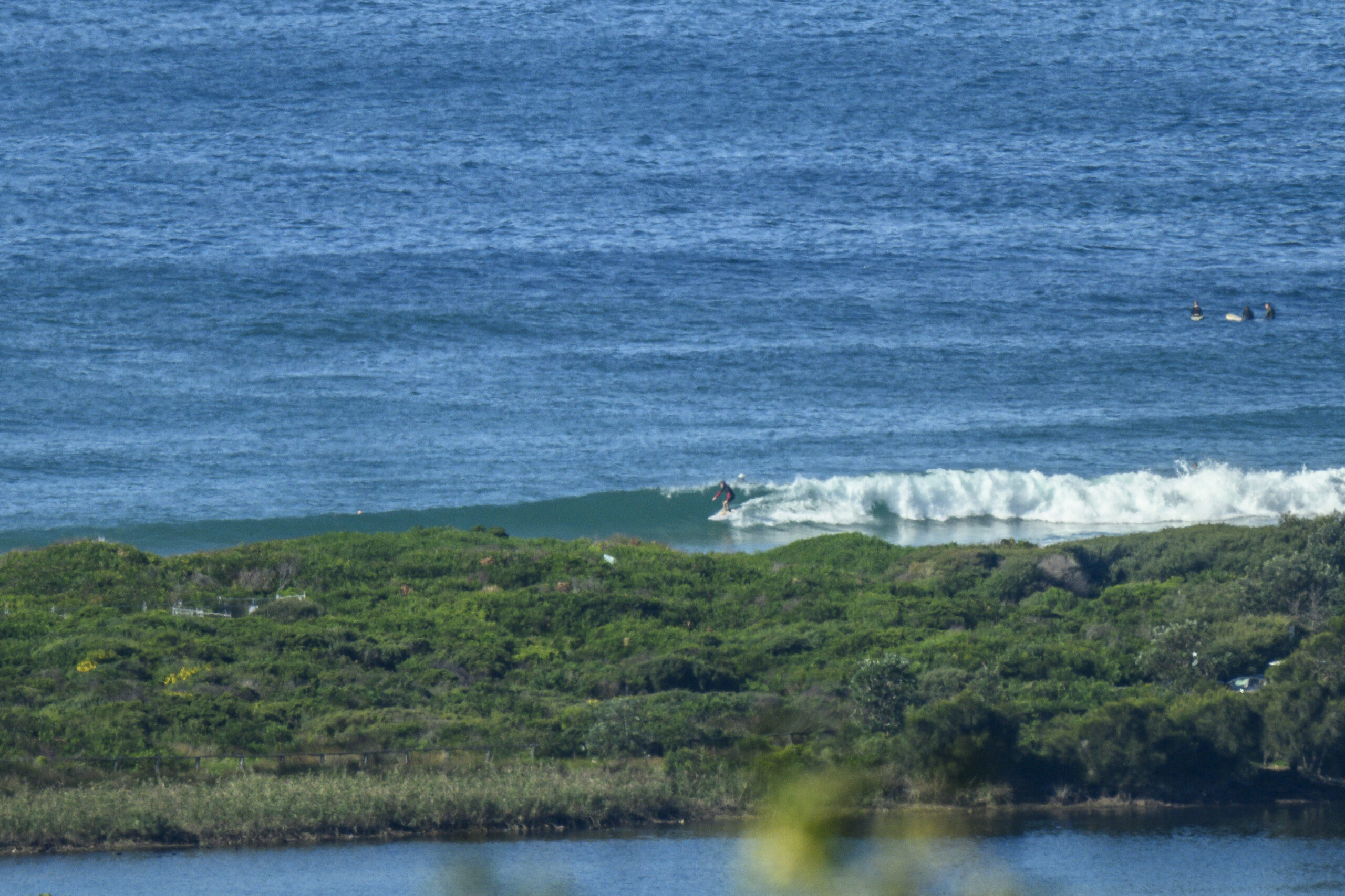
A great Monday for Sydney surfers to be bouncing out the door to work or school. The ocean is looking pretty ordinary thanks to a steady supply of SSE wind and grey skies. The little SSE windswell is pretty much hammered even in the protected corners. The wind is set to go all day, so I’m not hopeful of any significant improvement.
Tomorrow’s not looking exceptionally flash either as the wind is set to go around to the east. So I wouldn’t be real hopeful of a decent wave. However the swell is set to bump up slightly. So if the Bureau’s call for E to NE on Wednesday is right, there may be something worth a trip to the beach. We shall see…
On another front, how would you like to have an ad on our front page for a month for super cheap? Go check out the auction here and be amazed at how little you could pay to promote your business to thousands of surfers every day.
Have yourself a good one!
Weather Situation
A high south of the Bight is moving slowly east, extending a ridge along the New South Wales coast, while a low pressure trough is situated off the northern coast. By early Tuesday the high is expected to be over the Tasman Sea, and the coastal trough should weaken. The approach of a cold front from the Southern Ocean towards the end of the week is likely to bring a southerly change to much of the coast.Forecast for Monday until midnight
Winds: Southeasterly 10 to 20 knots. Seas: 1 to 2 metres. Swell: Southeasterly 1 metre.Forecast for Tuesday
Winds: Easterly 15 to 20 knots. Seas: 1 to 1.5 metres. Swell: Southeasterly about 1.5 metres.Forecast for Wednesday
Winds: East to northeasterly 10 to 15 knots becoming northeasterly 15 to 20 knots during the evening. Seas: 1 to 1.5 metres. Swell: Easterly about 2 metres.

