Hello Friends,
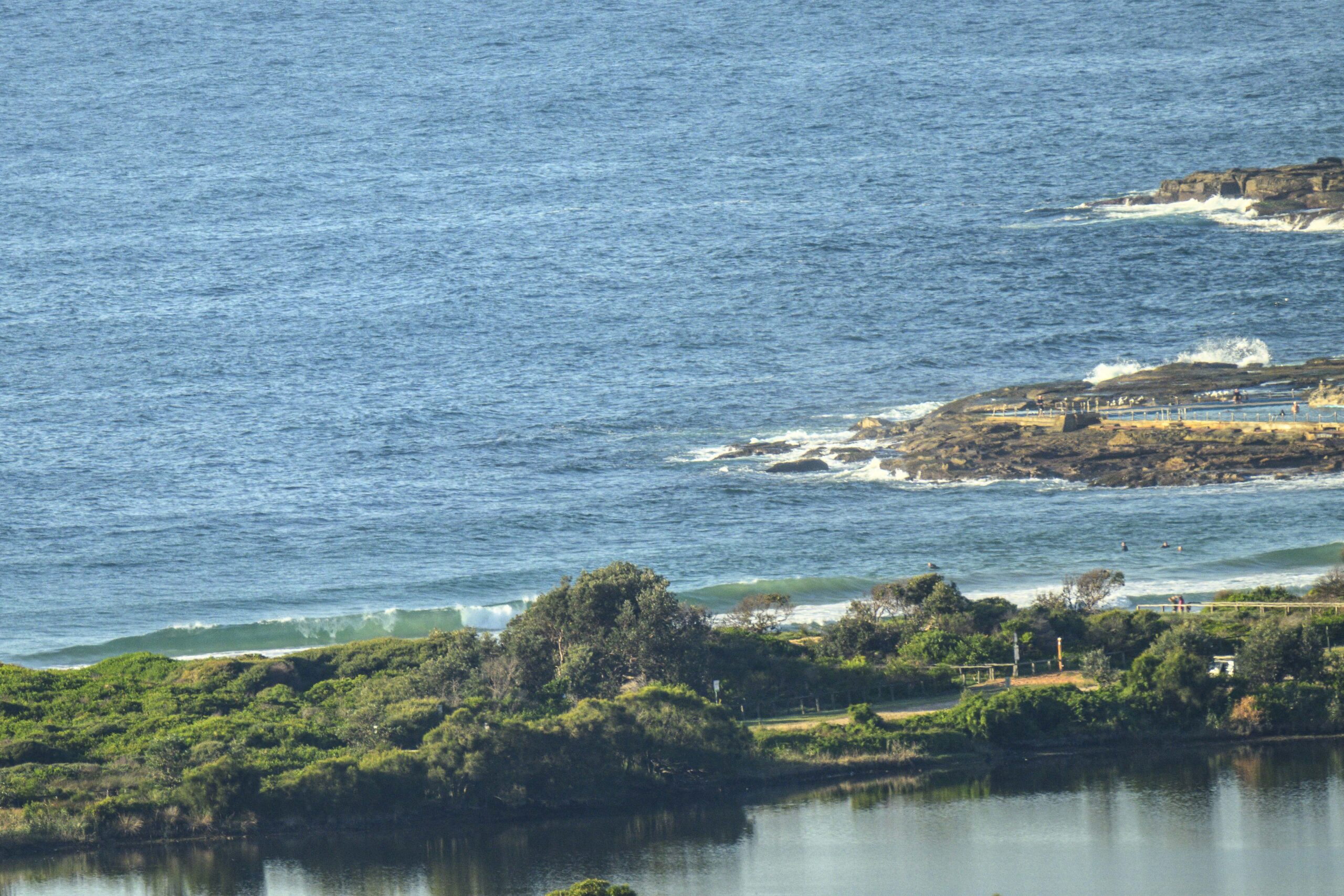
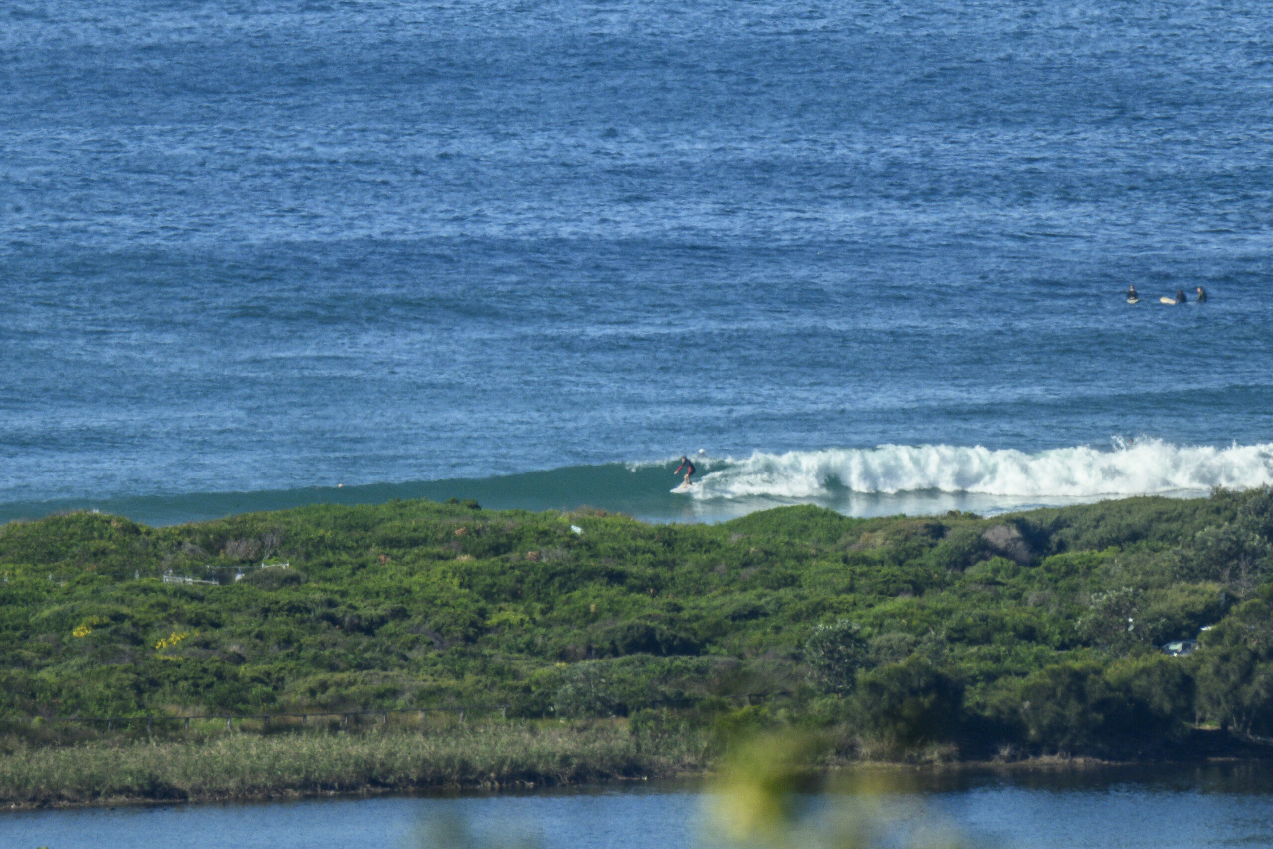
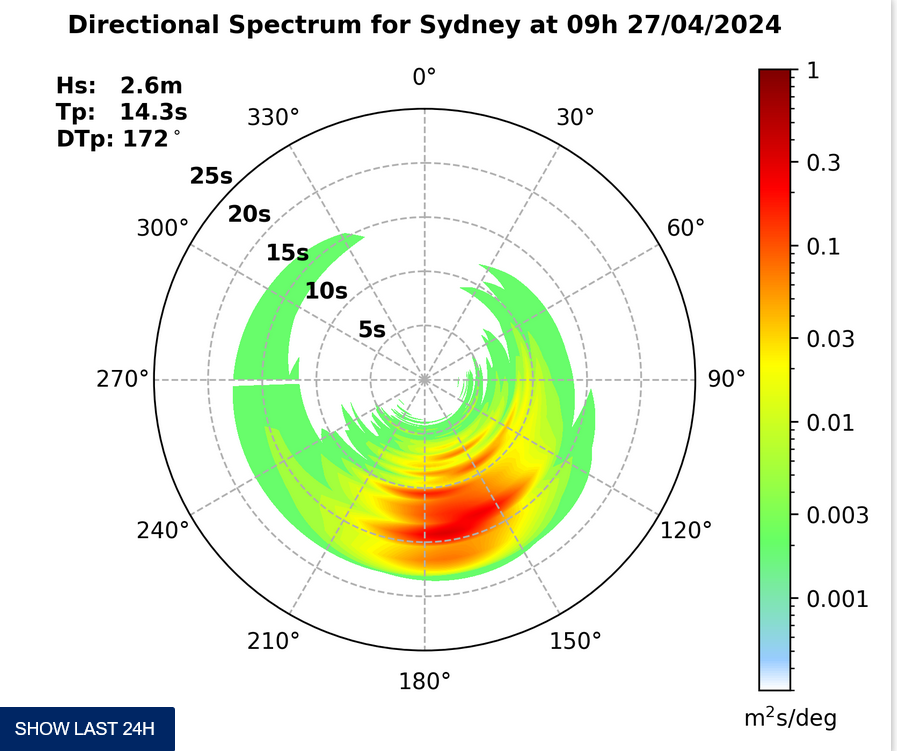
A light WNW breeze and a small south windswell greeted early risers at Dee Why this morning. According to the MHL buoy data the average height of the swell at sea is around the 2.5 metre mark, but the average period was a touch under 8 seconds, so it will be quite directional (ie, the best spots will be the most optimally exposed). There were a few bods having a cut at the soft conditions near Dee Why centre but about the best wave I saw was in the waist high range. It might be a bit bigger at the other end of the beach.
This morning’s tide is a low at around 1145 and the high at 1745 or so will be a factor for the late afternoon crew.
Outlook if for the wind to swing south as a change comes through around lunchtime. The Bureau says we can then look forward to winds from the southern quarters for the rest of the working week. And the models are currently predicting only low energy levels across the same period. The hoped for weekend pulse has been scaled back. The latest reckoning is it’ll be small but quite long period. With luck Saturday morning will have a few options at south swell spots, but it’s now looking as though chest high under cloudy skies is being optimistic.
Once again, the very long range forecasts are showing another solid looking south swell event forming up toward the end of next week. I only note this with interest as it is really in the realm of speculation.
On a more substantive note, I heard recently from my contact at MHL that they are planning to update their buoy network and that in future all of them will be reporting directional data as well as period and height. This is a good thing for weather nerds like yours truly because we can get a better idea of how swell is moving up or down the coast.
Have yourself a top old day!
Weather Situation
A trough is likely to bring a southerly change for the southern and central coast today. A high pressure ridge will build along the coast behind the trough and will persist until Friday.Forecast for Wednesday until midnight
Winds: Northwesterly 5 to 10 knots ahead of a south to southwesterly change 15 to 25 knots around midday then tending south to southeasterly later in the evening. Seas: Below 1 metre increasing to 1.5 to 2 metres by early evening. Swell: Easterly 1 metre.Forecast for Thursday
Winds: South to southeasterly 10 to 15 knots tending east to southeasterly by early evening. Seas: 1 to 1.5 metres. Swell: Easterly 1 metre tending southerly during the evening.Forecast for Friday
Winds: Southeasterly 10 to 15 knots tending south to southeasterly 15 to 20 knots during the morning. Seas: Below 1 metre increasing to 1 to 1.5 metres during the afternoon. Swell: Southerly about 1.5 metres.


