Hello Friends,
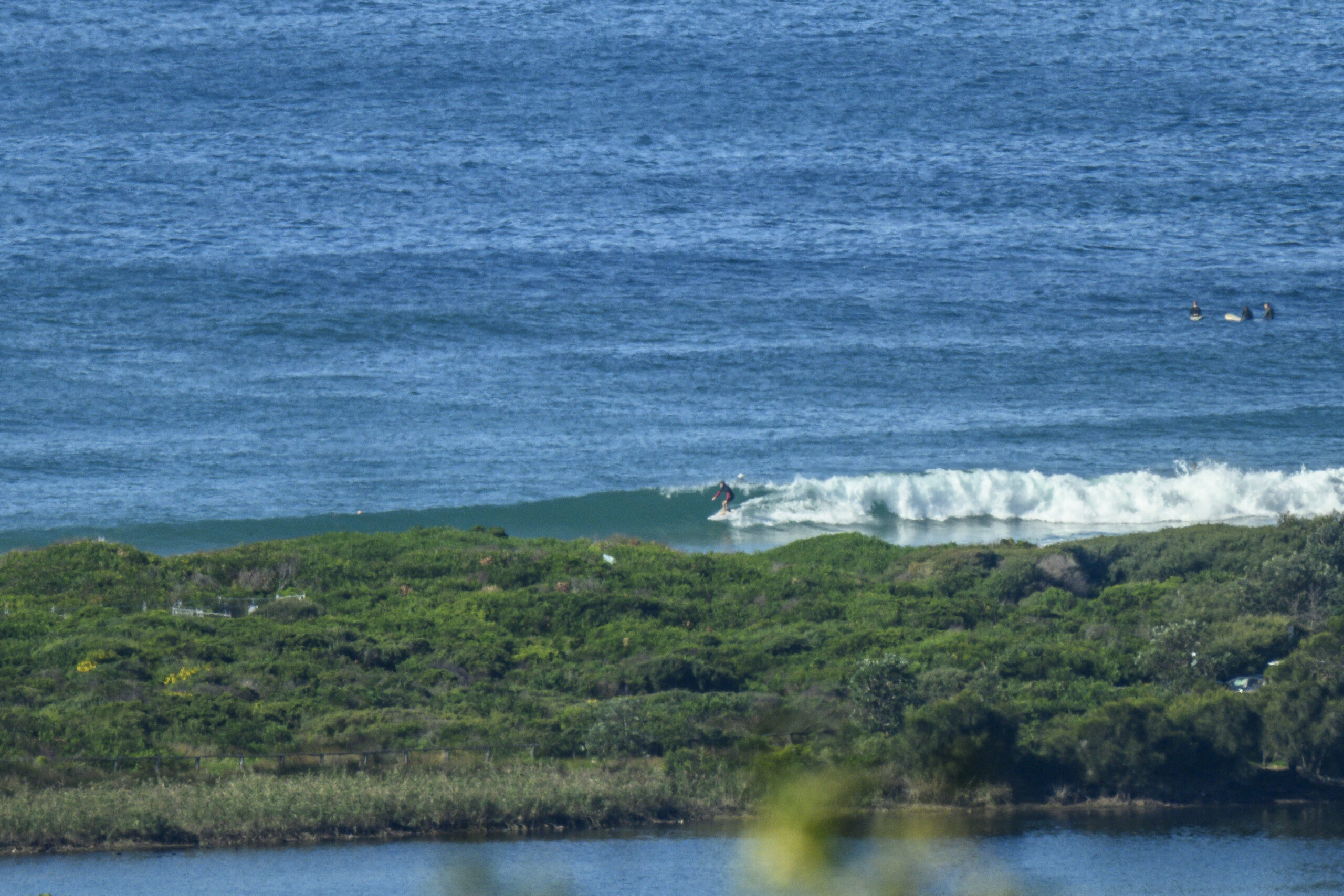
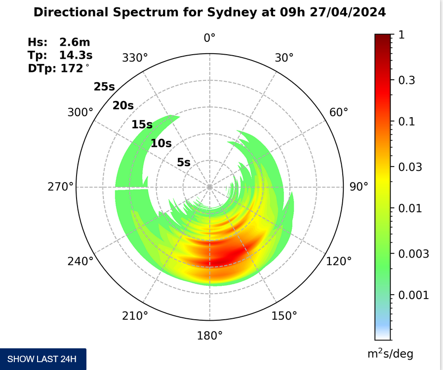
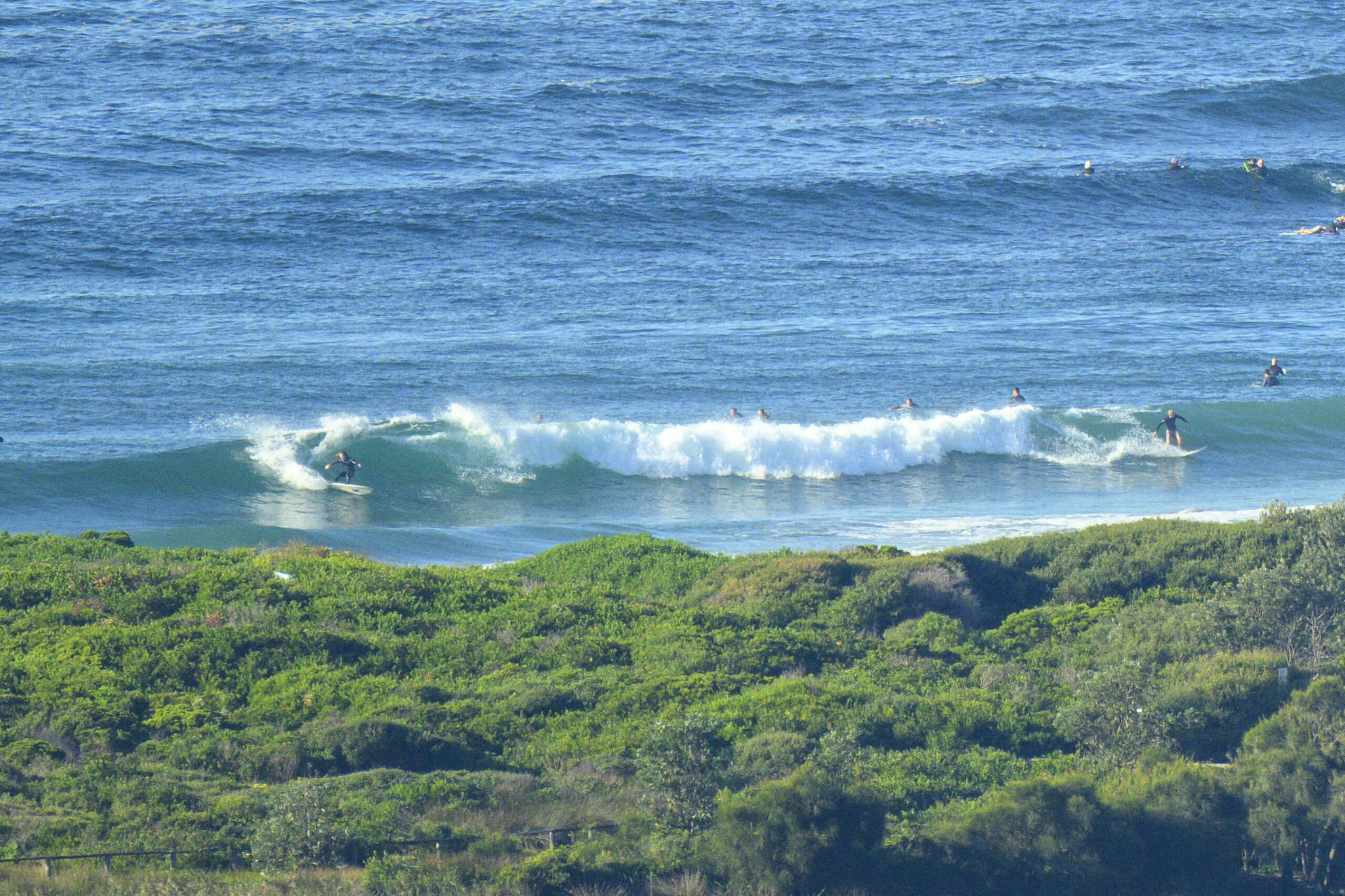
All the rugs are rolled up, the furniture’s against the walls, everybody’s ready, but the band just called to say they can’t make it. We’re looking at flatness folks. After momentarily hitting a 2 metre peak late yesterday morning, the south swell has faded to half that size. Worse, the average period dropped from nearly 9 seconds to less than 7 this morning.
Too bad, because it’s supposed to be offshore and sunny this morning. Oh well, what can ya do?
According to this morning’s swell modelling, the energy levels should come up through the day and possibly be into the surfable range tomorrow. I don’t see any obvious signs in the buoy data, so I guess we shall see…
Go well with your Tuesday!
Weather Situation
A cold front will bring a southwesterly change along New South Wales coast during Tuesday and a high pressure system near the Bight is slowly moving east extending a ridge behind the front. The high is expected to move over the southwestern Tasman Sea Wednesday night and then to move towards New Zealand during Thursday and Friday maintaining the ridge to the north coast.
Forecast for Tuesday until midnight
Winds
West to southwesterly 15 to 20 knots tending southeast to southwesterly up to 15 knots around midday.
Seas
Up to 2 metres decreasing to below 1 metre by early evening.
Swell
Southerly about 1.5 metres.
Wednesday 12 October
Winds
West to southwesterly 5 to 15 knots tending south to southeasterly around midday. Inshore sea breezes.
Seas
Below 1 metre.
Swell
Southerly 2 metres.
Thursday 13 October
Winds
East to southeasterly 5 to 10 knots tending east to northeasterly during the afternoon then increasing to 10 to 20 knots during the evening. Inshore sea breezes.
Seas
Below 1 metre.
Swell
Southerly about 2 metres.


