Hello Friends,
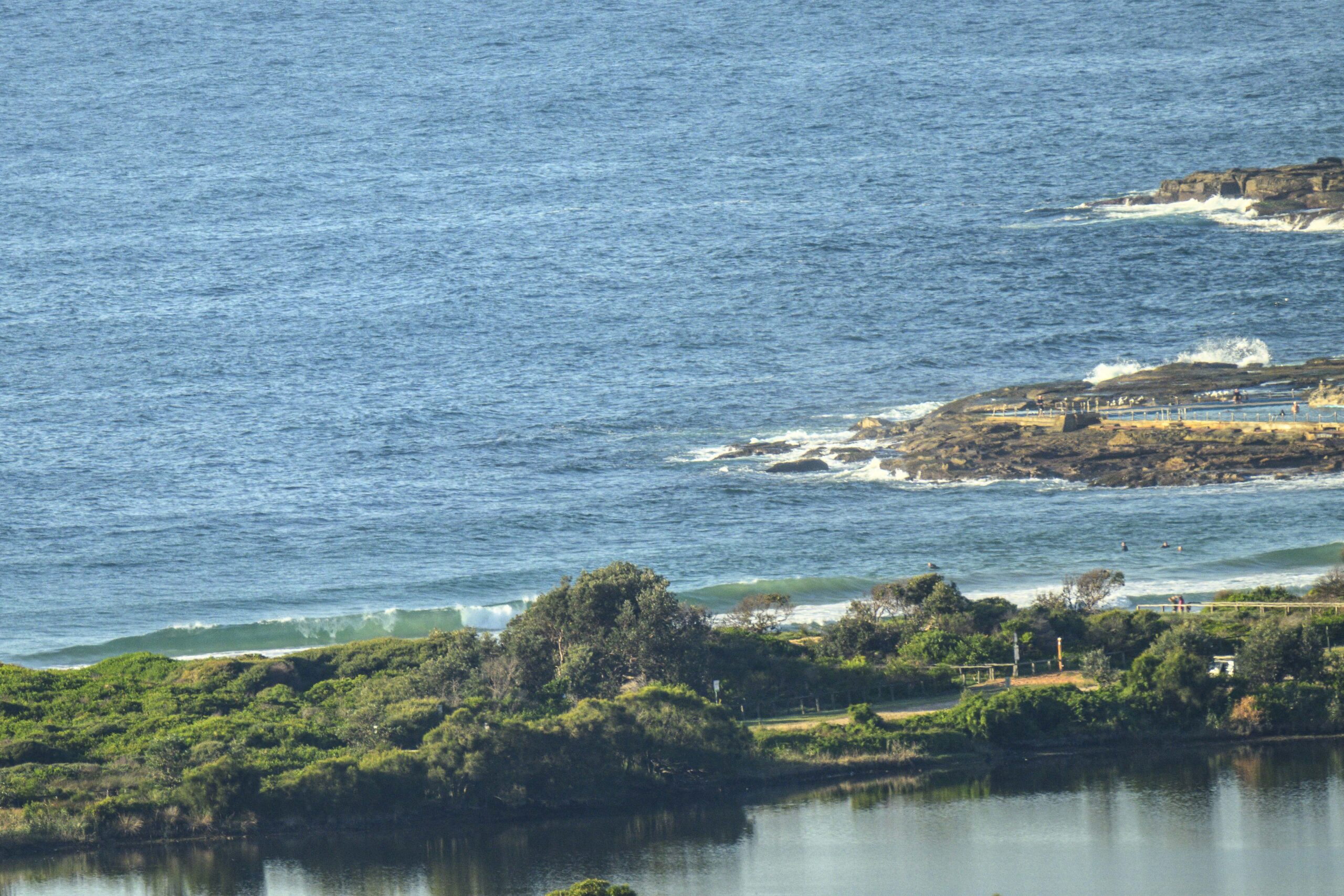
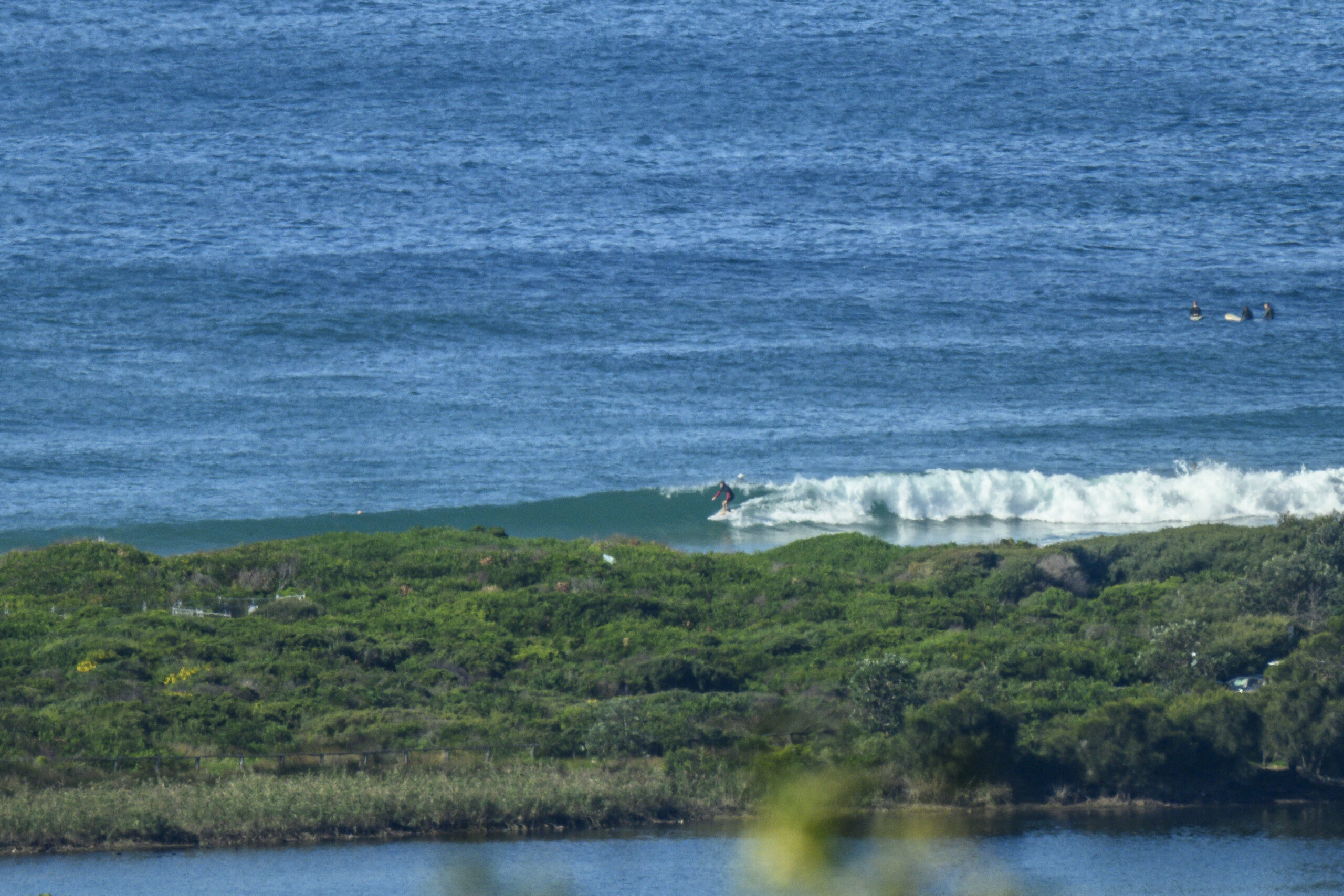
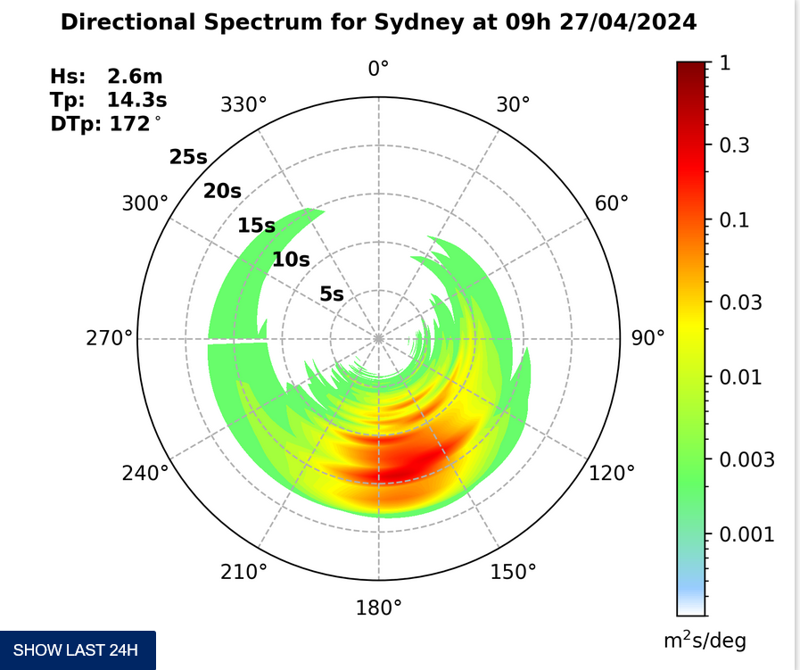
Visibility from the RealSurf crow’s-nest this morning was severely reduced by foggy and drizzly conditions. To the extent that I could see, it looked as though there was still a trickle of swell getting in. The MHL buoy is showing about 1.5 metres of ESE wind swell with a period of between 7 and 8 seconds. That should translate into wave faces at around the metre mark on the bigger ones at optimally exposed beaches.
Tide was high at 0630 and will hit low at 1310.
The wind looks set to dribble around from east to the north east but not to really power up much beyond the 15 kt mark. It was light from the SW for the early.
Outlook is for surf to remain marginal and weak for the next few days – and beyond. So, take your floaty-est surf tool if you’re heading out for a sniff around.
Have yourself a good Thursday everyone!
Weather Situation
A broad low pressure trough over northeast New South Wales will move to the northern Tasman Sea today, while a high pressure system over the southern Tasman Sea is strengthening and will extend a ridge towards the New South Wales coast. Another trough approaching from the west should move over the west of the state on Saturday before continuing to coastal parts late Sunday or Monday, accompanied by another cool change.
Forecast for Thursday until midnightWinds
East to northeasterly 10 to 15 knots.
Seas
Below 1 metre.
Swell
Southeasterly 1 to 1.5 metres.Friday 9 December
Winds
East to northeasterly 10 to 15 knots.
Seas
Below 1 metre.
Swell
Southeasterly 1 metre.Saturday 10 December
Winds
East to northeasterly 10 to 15 knots.
Seas
Below 1 metre.
Swell
Easterly 1 to 1.5 metres.


