Update:
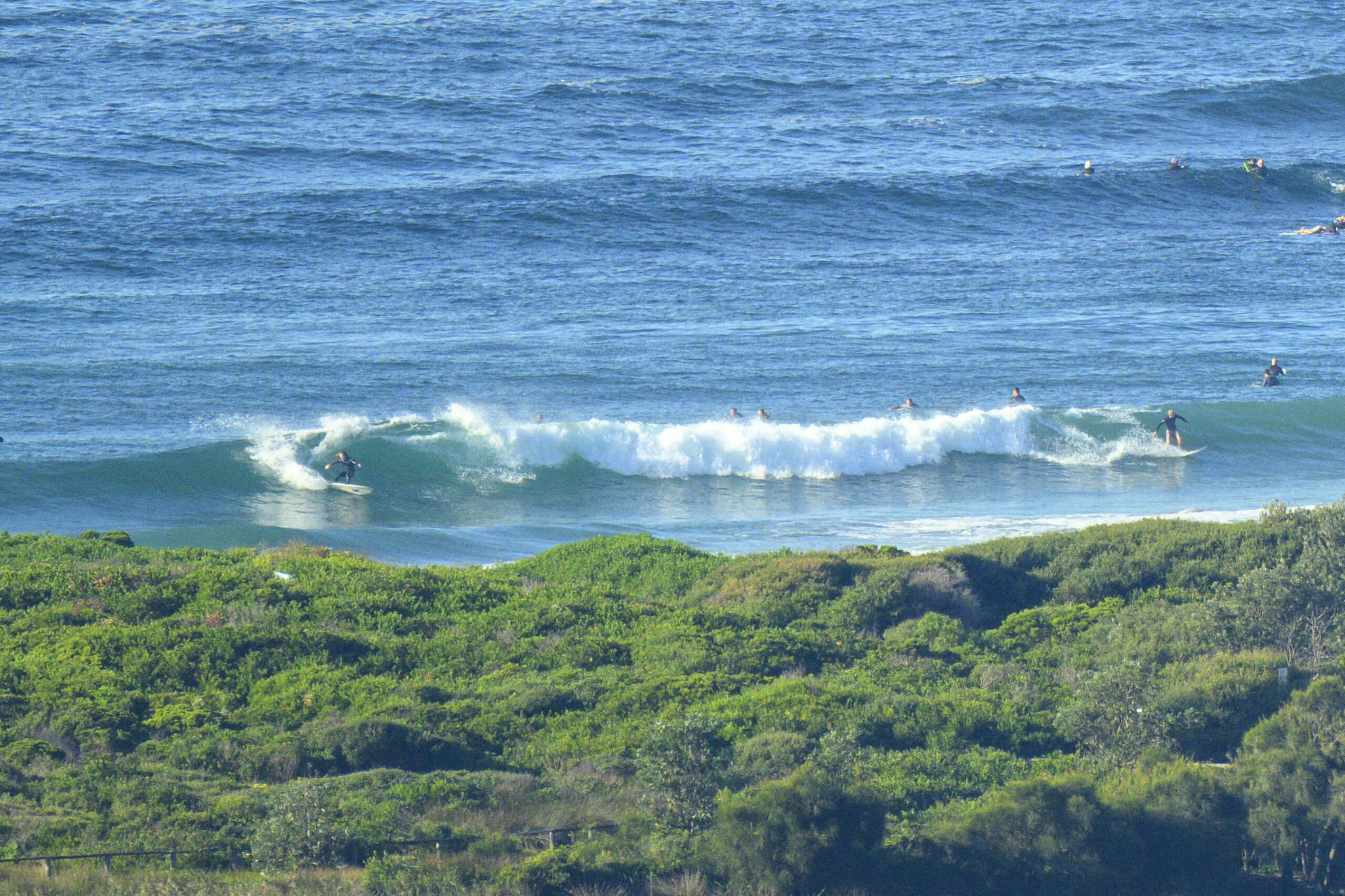
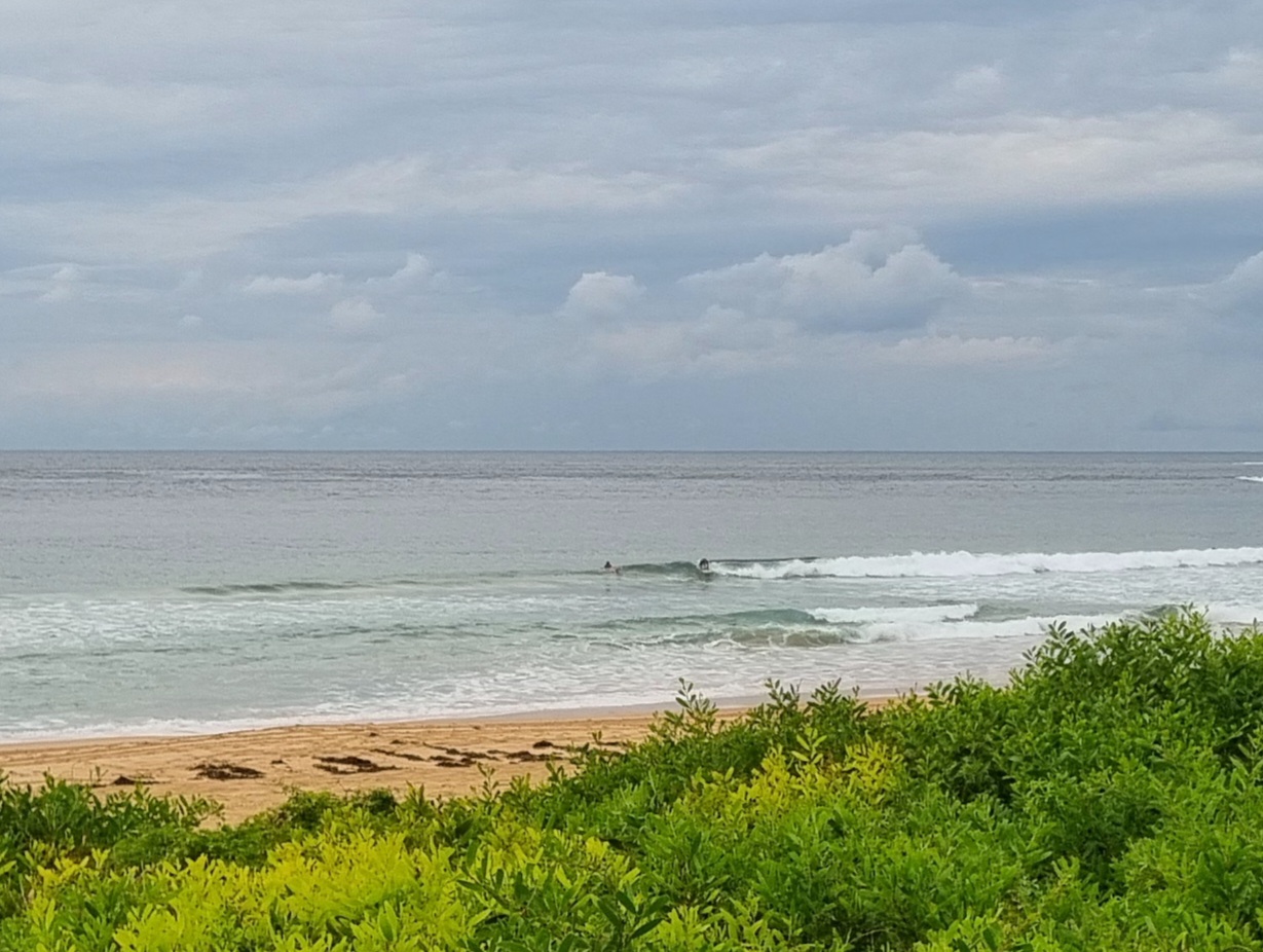
Went down to Dee Why for the Australia Day breakfast with my daughter and her friend. Surprisingly large number of folk enjoying the cheap eats and various things to see, do and listen to on a morning threatening with rain. Lots of folks in the water at Dee Why, but conditions were mainly slow, fat and weak looking. After brekkie, came home via Edgcliff on Collaroy Plateau and discovered that there were probably a hundred folks in the water from just north of Collaroy to North Narrabeen. I spotted half a dozen peaks with crowds of 2-15 people. Waves were a little snappier than Dee Why’s, but not by much. One and two turns before the shutdown or fade-out was the rule of the day.


Hello Friends,
Grey skies and a break in the rain to start off Australia Day along the northern beaches. Wind swell is out of the east (still) at about 1.5-2m with an average period of 8 seconds. The wind forecast is for NE’rly this morning, swinging east later. So the current glassy if lumpy conditions aren’t likely to outlast the Australia Day breakfast service.
Tide is high at 1010 and back to low at 1635.
There were a few bods in the water at the point and along the beach at 0700. Set wave faces were around the chest high mark, but mostly it was smaller than that.
The water looks pretty bad, which is hardly surprising given all that rain yesterday. The skies tell the story too, because there’s an 80% chance of rain again today.
Outlook is for the wind swell to push along at roughly the same size all day and through to Sunday. At that point there could be a bump up in size, but not quality, as a NE wind event develops.
Some of the models are showing an interesting set of numbers for Monday. If it plays out as they predict, we might actually have some fun conditions at NE spots… we shall see!
Have a top Australia Day!
Weather Situation
A slow-moving high pressure system over the Tasman Sea is directing an easterly airstream onto the New South Wales coast. This high is expected to move over New Zealand on Thursday as a weak cold front crosses the Tasman Sea, bringing a brief southerly change to the southern coast. Another high is forecast to move from the Bight to the Tasman Sea during Friday, restoring an onshore flow through the weekend, ahead of a more significant change expected Sunday or Monday.
Forecast for Thursday until midnight
Winds
East to northeasterly 15 to 20 knots tending east to southeasterly later in the evening.
Seas
1 to 1.5 metres.
Swell
Northeasterly 1.5 metres.
Friday 27 January
Winds
East to southeasterly 5 to 15 knots becoming easterly 15 to 20 knots during the afternoon.
Seas
Below 1 metre increasing to 1 to 1.5 metres during the afternoon.
Swell
Northeasterly 1 metre.
Saturday 28 January
Winds
East to northeasterly 10 to 15 knots becoming northeasterly 15 to 20 knots during the evening.
Seas
1 to 1.5 metres.
Swell
Southeasterly 1 metre.


