Hello Friends,
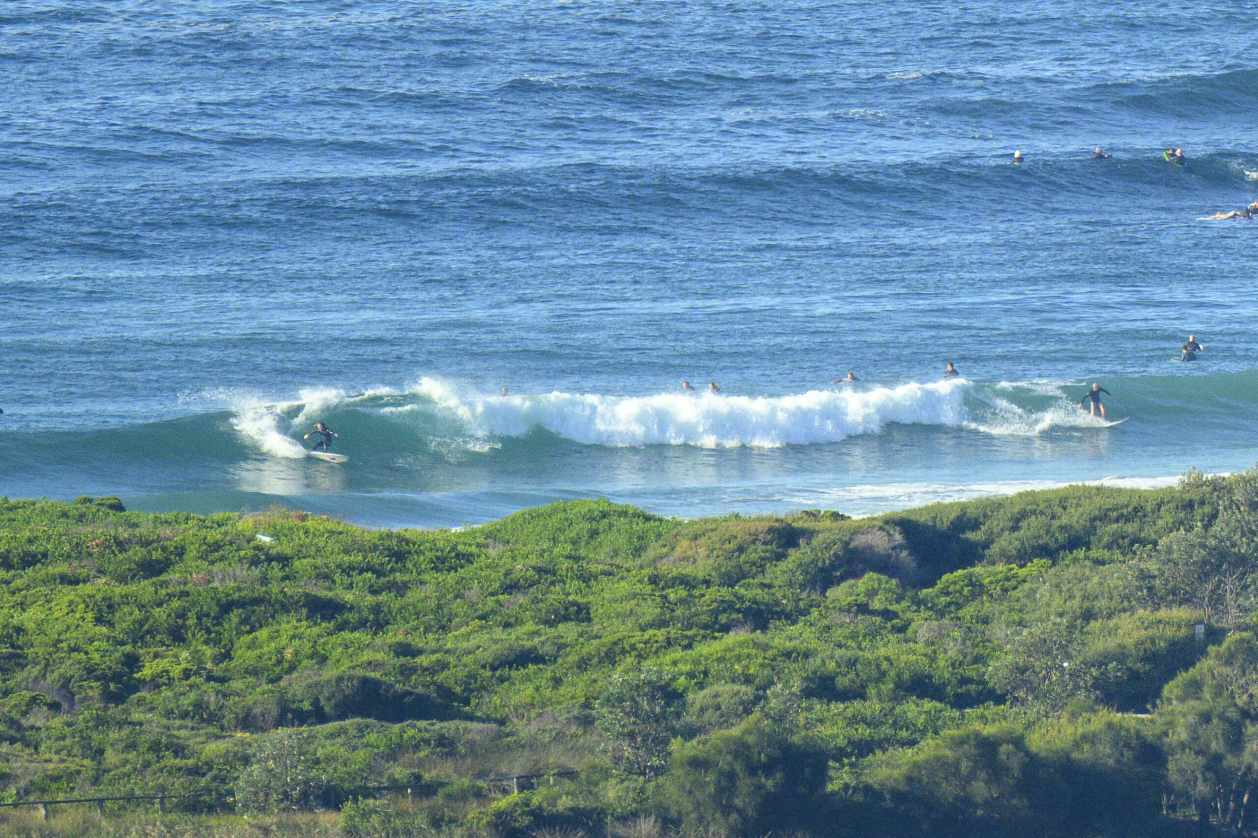
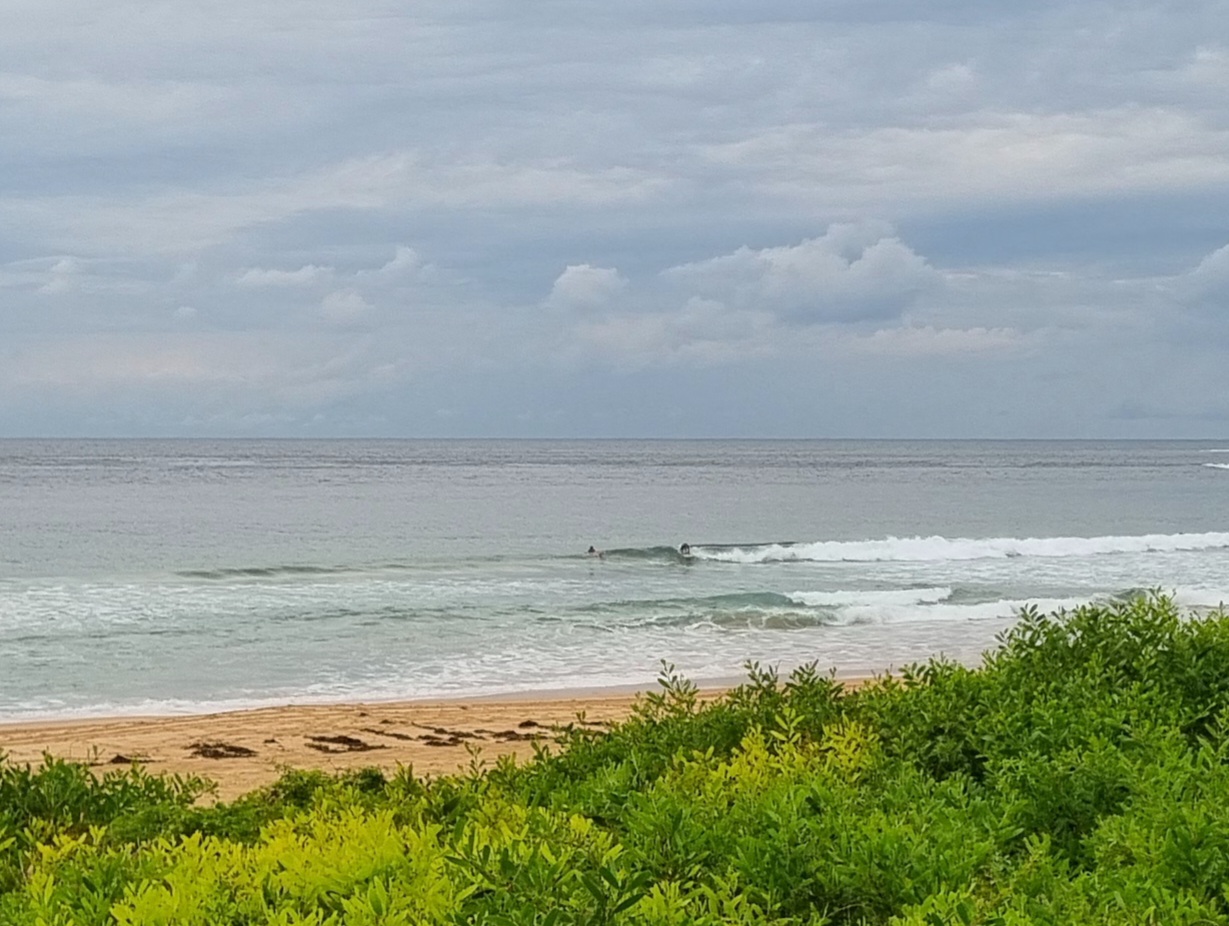
Not much of a start to Sunday morning. We had a little shower in Dee Why to open proceedings. Mostly cloudy skies and about 10 kts of NNE wind greeted the hardy types who paddled out into the mush anyway. The MHL data shows about 1.5 metres of 6 second period NE wind swell – and it looks just like you’d expect.
Conditions are set to sputter along at more or less this rate for the rest of the day, and indeed, into mid-week.
For the first time in weeks, the long range swell forecast models are currently showing the possibility of a change to southerly conditions and with it maybe some solid south swell toward the end of the coming week. The model confidence is not high, so put this into the “watching brief” category.
Have yourself a great Sunday!
TIDES: H @1050 L @1655
Weather Situation
A slow-moving high high pressure system over the southern Tasman Sea extends a ridge to New South Wales north coast. On Tuesday a cold front is expected to bring southerly change to the south and central coasts as the high moves east and weakens.
Forecast for Sunday until midnight
Winds
Northerly 15 to 20 knots tending north to northeasterly by early evening.
Seas
1 to 1.5 metres.
Swell
Easterly about 1 metre.
Monday 27 February
Winds
Northeasterly 15 to 20 knots turning northerly during the morning.
Seas
1 to 2 metres.
Swell
Easterly about 1 metre.
Tuesday 28 February
Winds
Northerly 15 to 20 knots decreasing to below 10 knots during the afternoon ahead of an evening southerly change 10 to 15 knots.
Seas
Up to 2 metres decreasing to below 1 metre during the afternoon.
Swell
Easterly 1 metre.
Weather
The chance of thunderstorms from the afternoon.
Commonwealth of Australia 2012, Bureau of Meteorology


