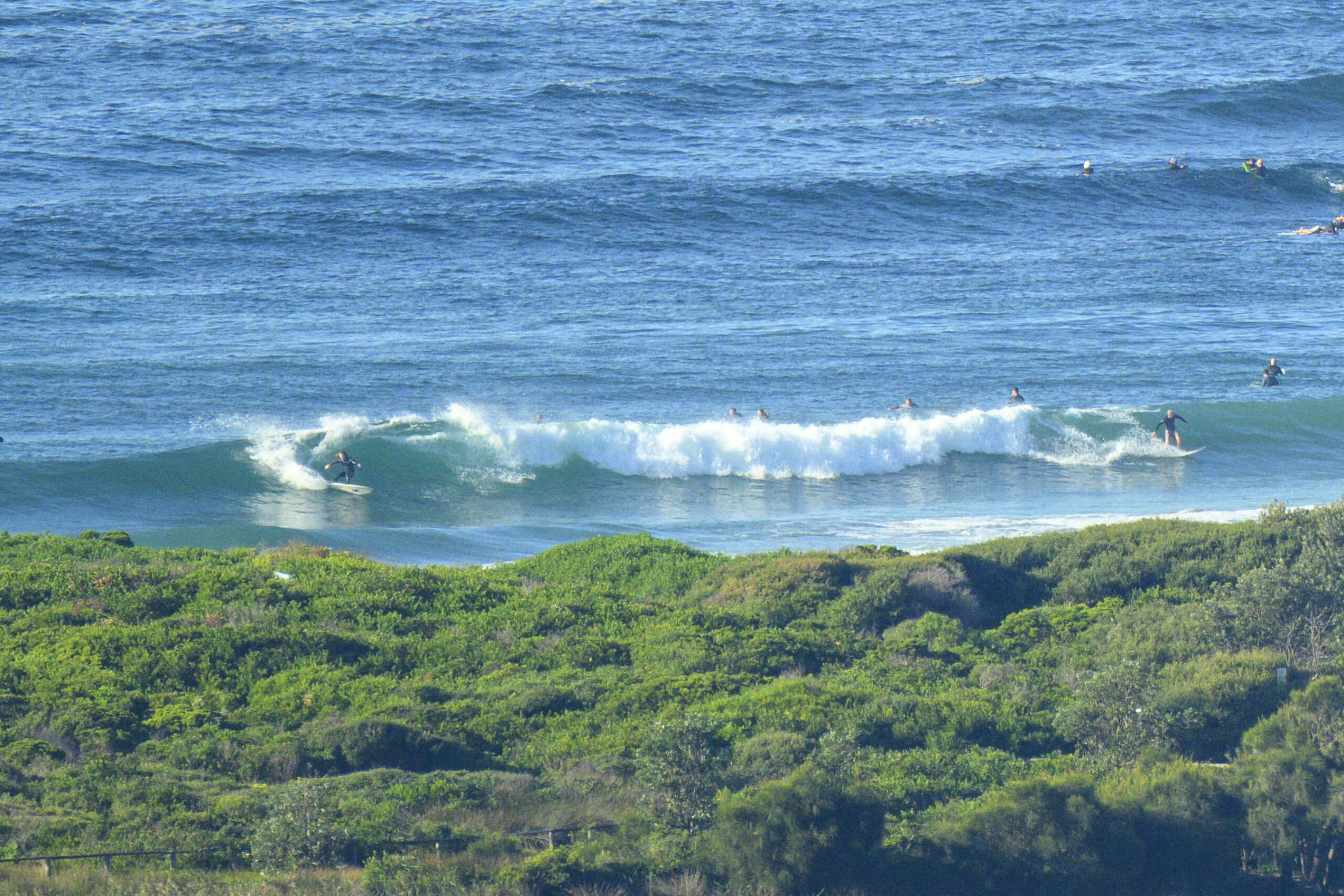
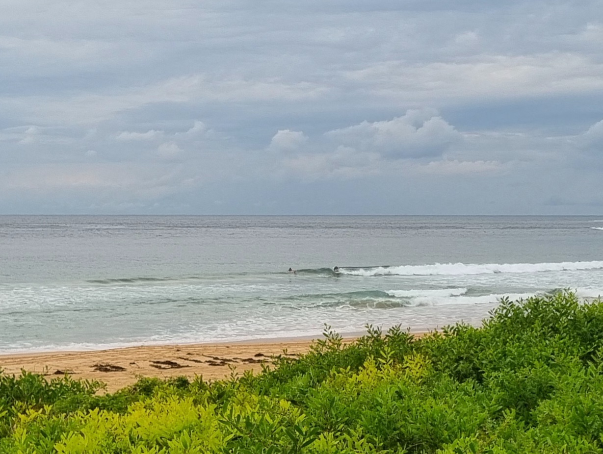
East swell really macking, but the water looks horrendous and the showers keep coming…


Hello Friends,
Not quite as ordinary as yesterday morning, but pretty close. Swell settings aren’t bad, namely 3 metres from the SE at 11 seconds. But the ocean is still heaving around messily thanks to a couple days of SEly. At 0730 most places in Sydney were showing S-SW wind, so just maybe it’ll begin to clean up a little as the day goes along.
The curious thing is that forecast is calling for an east swell to be coming in by now, but the MHL buoy is showing the dominant direction as SE as of 0600. Looking at the WRL pic from this morning shows a much more easterly look to the swell (compared to the ambiguous messiness of DY).
Outlook is for the energy to be mainly east in the Sydney region through Saturday and for it to be gradually declining through the period, but not dropping into the unsurfable range. The wind should be more favourable from tomorrow, so right now it looks as though Thursday and Friday might be fun.
Go well with your day!
Tides: L @0930 H @1600

Weather Situation
A low pressure system in the southern Coral Sea is extending a trough along the NSW coast. The low is expected to move eastward, with the trough gradually weakening as a ridge of high pressure strengthens from the southeast.
Forecast for Wednesday until midnight
Winds
Southeasterly 10 to 15 knots.
Seas
Below 1 metre.
Swell
Easterly 3 metres.
Thursday 14 June
Winds
Variable below 10 knots becoming northerly 10 to 15 knots during the evening.
Seas
Below 1 metre.
Swell
Easterly 3 metres decreasing to 2 metres from the late morning.
Friday 15 June
Winds
North to northwesterly 10 to 15 knots.
Seas
Below 1 metre.
Swell
Easterly 2 to 3 metres.


