
Hello Friends,
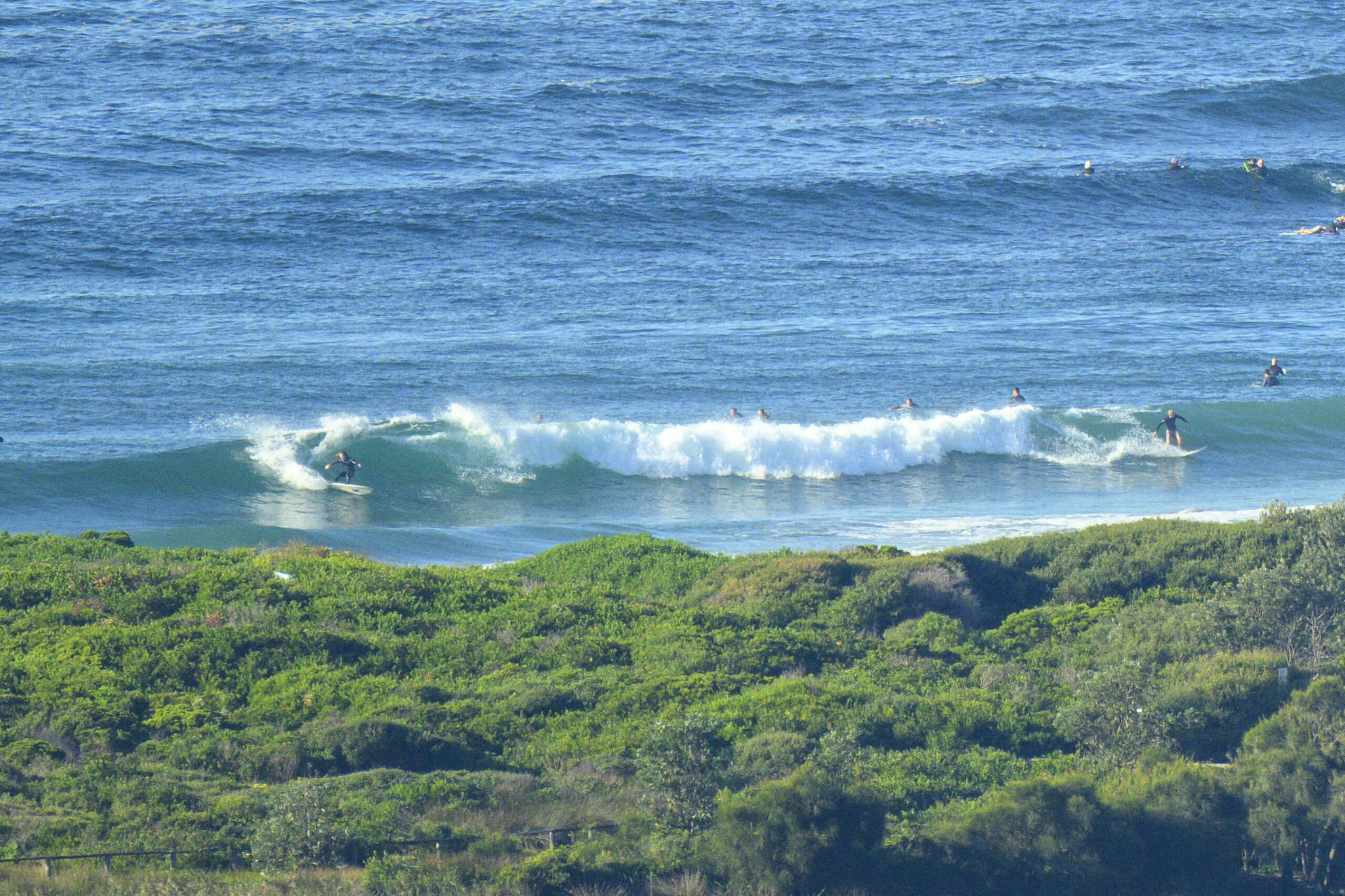
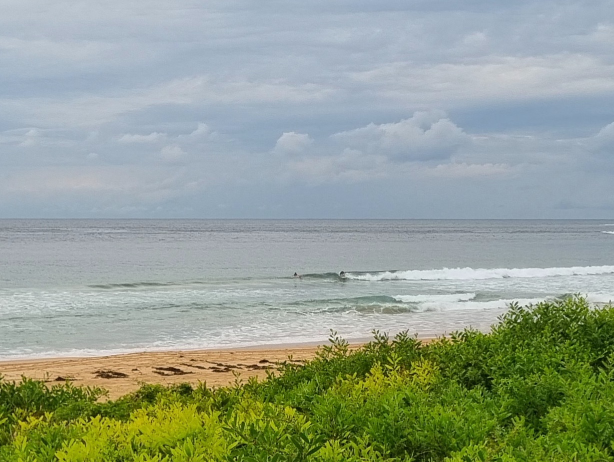
A touch bigger than I’d expected for this morning. Sunny skies and light NW winds are combining with a couple metres of 10 second period SSE swell to deliver the odd head high set along the beach at Dee Why. The point seemed much less consistent and smaller. There should be any number of south swell spots with a fun wave today.
The swell models show the energy declining steadily through the day, but with any luck there should still be the odd waist to chest high thing on offer as we run out of light.
Looks like a summery wind regime too. Light and variable for the early risers, settling into NE seabreezes by around lunch time.
Tide peaks at 0800 and then drops pretty quickly to the low at 1400.
Given the outlook for the coming week is pretty marginal, I’d be joining the crowds this morning if I could.
Have a good one!
Weather Situation
A high pressure system over South Australia extends a ridge across New South Wales, promoting generally light to moderate winds along the coast. This ridge will drift slowly east through the weekend, with winds turning northeasterly on Sunday as the high reaches the Tasman Sea. A trough will deepen over the state early in the new week.
Forecast for Sunday until midnight
Winds
Variable about 10 knots becoming northeasterly 15 to 20 knots in the middle of the day.
Seas
Below 1 metre increasing to 1.5 metres by early evening.
Swell
Southerly about 1.5 metres.
Monday 17 September
Winds
Northerly 15 to 20 knots turning northeasterly early in the morning.
Seas
Up to 1.5 metres increasing to 1.5 to 2 metres later in the evening.
Swell
Southeasterly 1 metre.
Weather
The chance of thunderstorms from the late morning.
Tuesday 18 September
Winds
Northeasterly 15 to 20 knots tending northerly 15 to 25 knots during the morning.
Seas
Up to 2 metres.
Swell
Easterly about 1.5 metres.
Weather
The chance of thunderstorms during the evening.


