Hello Friends
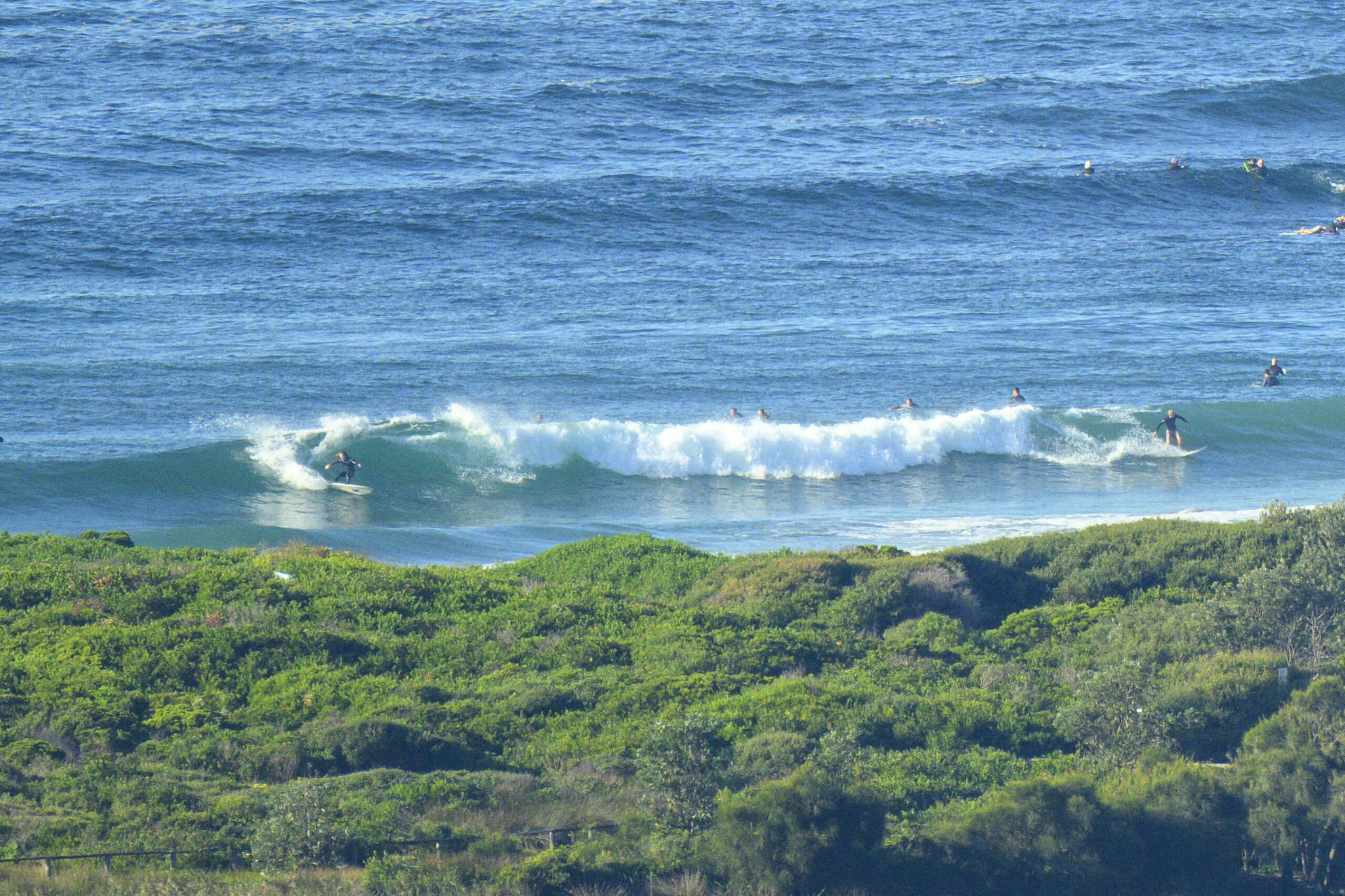
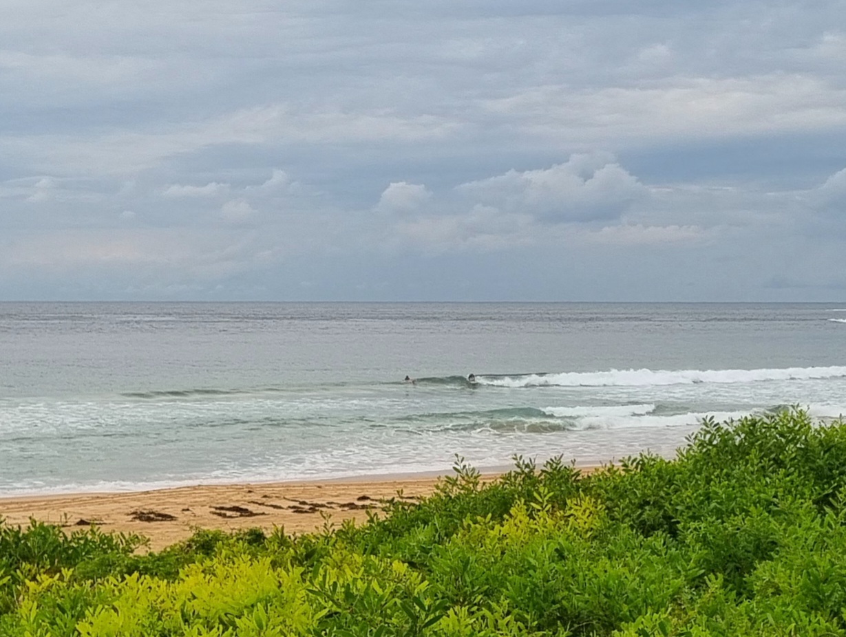
If you are extra keen, there should be some tiny knee to waist high lines about the place. But don’t expect to see the bigger ones too often, particularly as we start to see the high tide take effect (it peaks at 1415). This morning saw light northerly wind and about a metre of 8 second period SSE wind swell lapping in. Should be a sunny and beautiful day for Sydney, so well worth getting out and about in one way or another.
Outlook for the week ahead is strictly so-so. More spring blahs really with not much prospect of cracking the waist high mark for most of the time. There is some potential for a brief increase around mid-week, but it could be in the context of showery weather with SE’ly wind and such.
So enjoy your Sunday and have yourself a great time.
Weather Situation
A a gusty southerly change associated with a cold front will develop on the south coast later today, extending to the north coast during Monday. Behind the front a high pressure system will move south of the Bight extending a ridge to the western Tasman Sea. The high is expected to be centred off New South Wales coast later on Tuesday or early Wednesday.
Forecast for Sunday until midnight
Winds
North to northwesterly about 10 knots tending north to northeasterly 15 to 20 knots in the middle of the day then shifting south to southwesterly in the late evening.
Seas
Below 1 metre increasing to 1 to 1.5 metres during the afternoon.
Swell
Southeasterly 1 metre.
Monday 24 September
Winds
South to southwesterly 15 to 20 knots.
Seas
1 to 1.5 metres increasing to 1.5 to 2 metres by evening.
Swell
Easterly about 1.5 metres.
Tuesday 25 September
Winds
South to southeasterly 15 to 20 knots tending east to southeasterly 10 to 15 knots during the evening.
Seas
Up to 1.5 metres.
Swell
Easterly 1 metre tending southerly 1.5 metres.


