
Hello Friends,
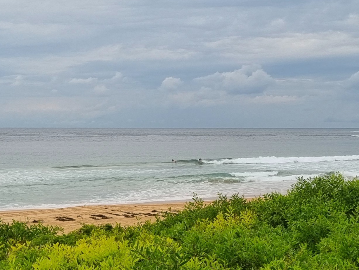
The southerly hadn’t kicked in when I first looked at the ocean around 0700. But it should be along soon and we’ll be looking at 25-33 kts. We’re set to have a bit of rain later too. Swell was looking pretty feeble at Dee Why. It’s a couple metres from the south, but the average period is around 8 seconds, so the people in the water at Dee Why were struggling to get into knee to waist high sets. From the shape of the forecast, we’re not in for much of interest tomorrow, but maybe on Wednesday we’ll see a SE swell-NE window combo worth the effort.
Outlook for later in the week is more stuff in the so-so category, but there should be at least a little something in the mornings if you’re keen enough.
Have yourself a top old Monday!
TIDES: L @0720, H @1350
Weather Situation
A cold front from the Southern Ocean will pass over New South Wales during Monday, ahead of a high pressure system to be established over the state by Tuesday.
Forecast for Monday until midnight
Winds
Southerly about 10 knots increasing to 25 to 33 knots in the morning.
Seas
Below 1 metre increasing to 1 to 1.5 metres during the morning then increasing to 3 metres around midday.
Swell
Easterly 0.5 to 2 metres.
Weather
The chance of thunderstorms this afternoon and evening.
Tuesday 23 October
Winds
Southeasterly 15 to 25 knots turning east to northeasterly 10 to 15 knots during the afternoon and evening.
Seas
2 to 3 metres decreasing below 1.5 metres during the morning then decreasing to below 1 metre during the afternoon.
Swell
Southeasterly 2 metres.
Wednesday 24 October
Winds
North to northeasterly 15 to 20 knots.
Seas
Below 1 metre increasing to 1 to 1.5 metres during the afternoon.
Swell
Southeasterly 2 metres tending easterly 1.5 metres during the evening.


