Hello Friends,
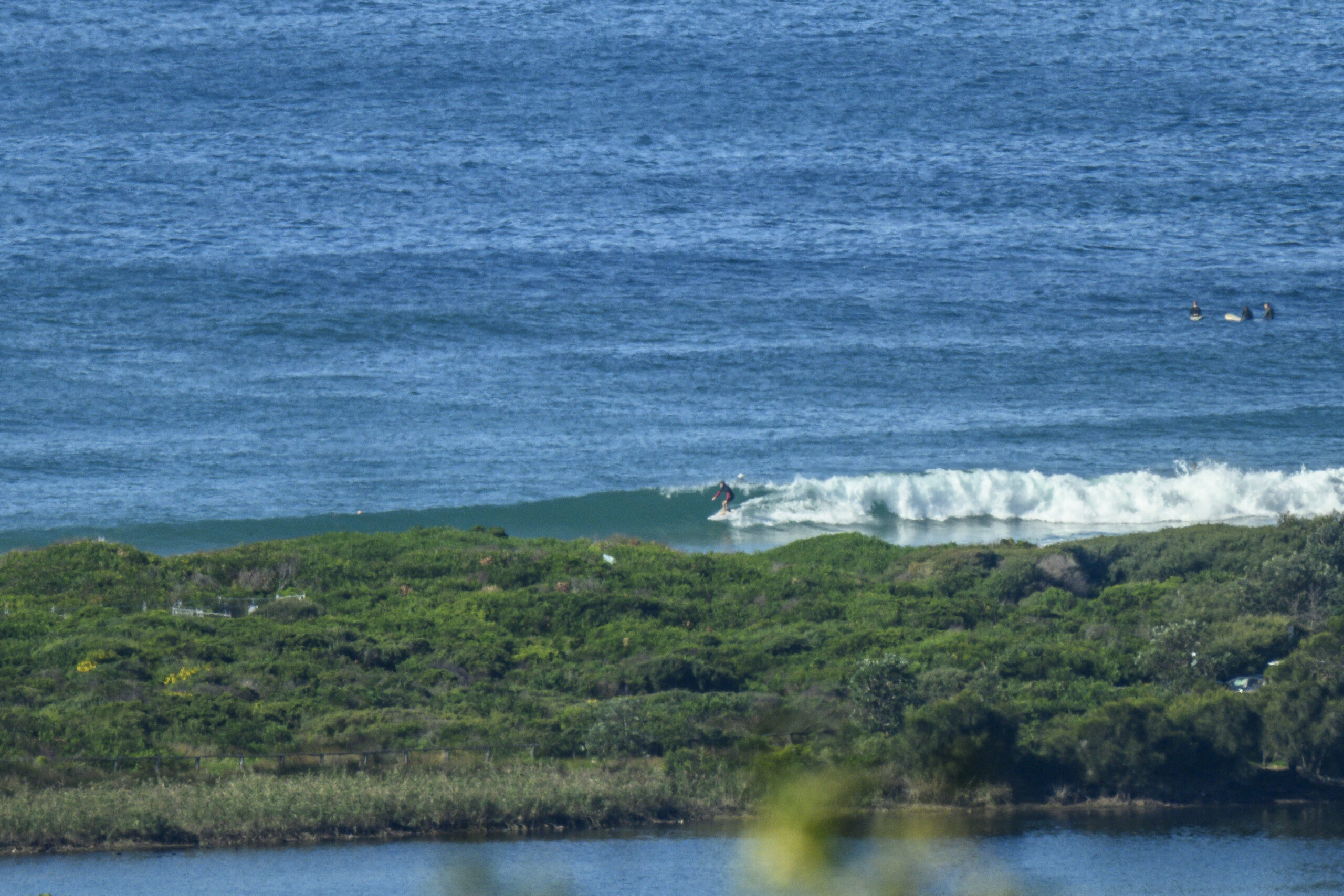
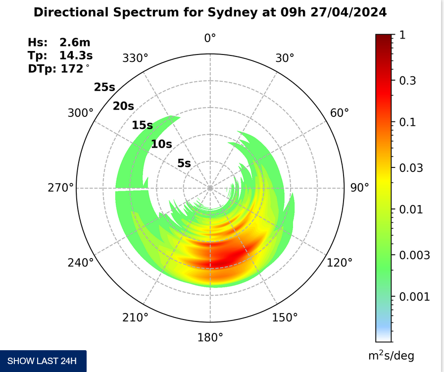
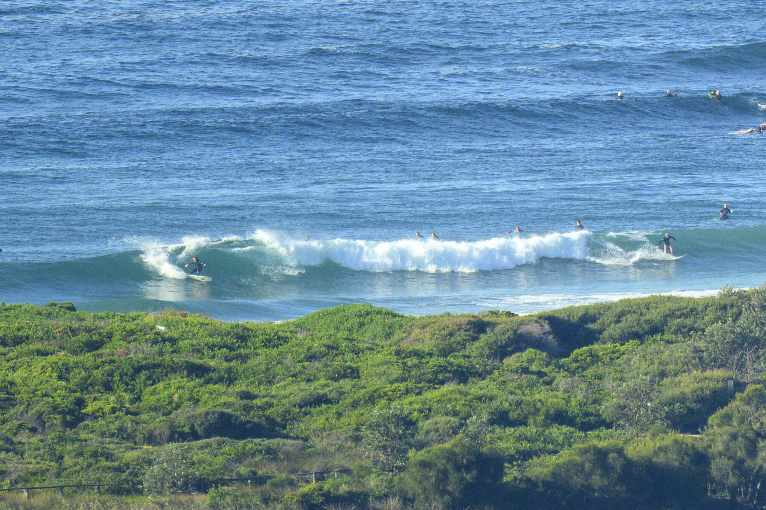
Swell energy level is up very marginally to about the 8 second mark. But the average height at sea is still only a metre or so from the SE. And so, there’s really nothing happening at Dee Why.
Wind was light and northerly as Wednesday kicked off, but the Bureau tells us it’ll be SE 10-15 kts before long.
Tide’s not really relevant to surfers, but for those who may care, high was at 0745 and the low will be around 1420.
Outlook for an improvement to surf prospects remains pretty bleak. This morning’s long range forecast modelling is pointing toward some chest-plus conditions around Tuesday of next week, but with heaps of onshores at most spots. Still, it’d be an improvement over the utter lack of energy we’re currently stuck with on the east coast.
So it goes eh?
Get up to some good with your Wednesday – and have fun doing it!
Weather Situation
A slow-moving high pressure system over the southeastern Tasman Sea extends a ridge to the northern New South Wales coast, while a weak low pressure trough lies near the southern and central coasts. This trough will shift to the northern coast today.
Forecast for Wednesday until midnight
Winds
Southeasterly 10 to 15 knots.
Seas
Below 1 metre.
Swell
Northeasterly about 1 metre.
Weather
The chance of thunderstorms.
Thursday 29 November
Winds
East to southeasterly 10 to 15 knots tending east to northeasterly during the day.
Seas
Below 1 metre.
Swell
Northeasterly 1 metre tending southeasterly from the morning.
Friday 30 November
Winds
Northeasterly 10 to 15 knots, increasing to 20 to 25 knots during the evening.
Seas
1 to 1.5 metres increasing up to 2 metres during the evening.
Swell
Southeasterly 0.5 metres.


