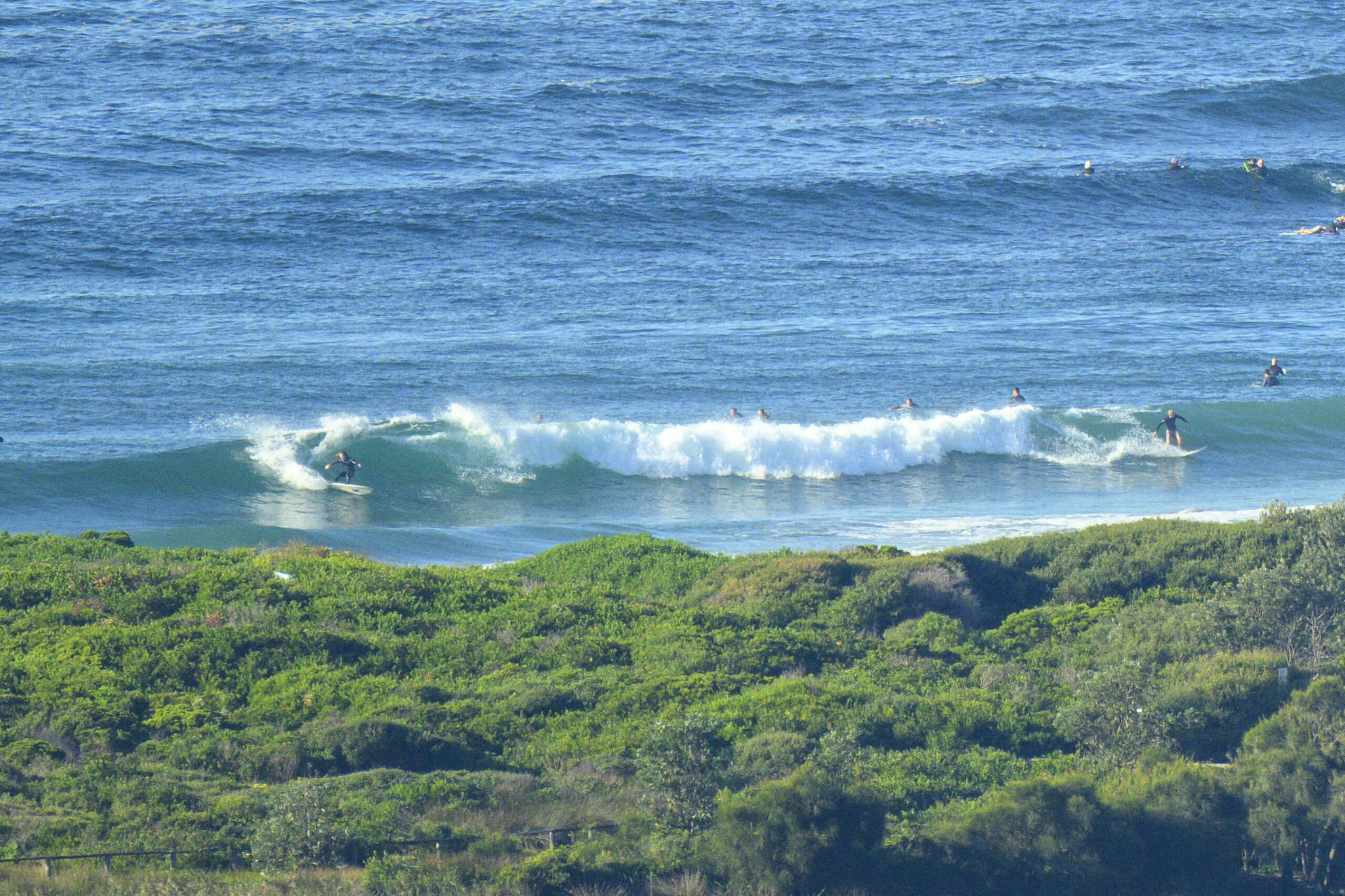
Jammed for time this am, so will keep it brief. There were waist to chest dribblers at Dee Why when I checked and grabbed the pic.
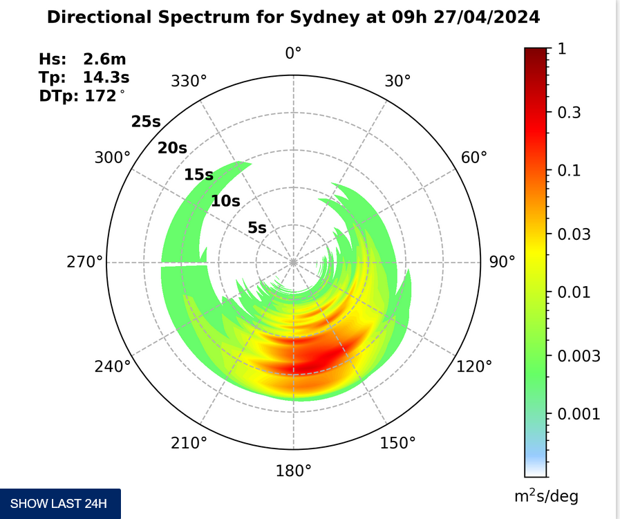
Swell is showing at a couple metres from the SSE at about 9 seconds, but it’s not doing as much as I’d have expected. There should be something at the point, but the tide’s swamped it.
The Bureau has a dangerous surf warning up, but I can’t say that I saw anything that looked terribly daunting.
Have yourself a fun Friday.
(ps: from tomorrow I’ll be back in over the horizon mode again, so expect a few postcards!)
Tides: H @0830 L@1515
Weather Situation
A trough off the north coast is weakening and an area of high pressure lies over the Tasman Sea. A cold front will approach NSW today, strengthening northerly winds along the coast. The front will bring a southerly change to southern and central parts of the coast tomorrow before weakening on the north coast Sunday. A stronger southerly change is expected to develop along the coast Monday.
Forecast for Friday until midnight
Winds
North to northeasterly 15 to 25 knots becoming northeasterly 20 to 30 knots in the evening.
Seas
Below 1 metre increasing to 1.5 to 2.5 metres by early evening.
1st Swell
Southerly about 2 metres decreasing to 1 metre late this evening.
2nd Swell
Northeasterly about 1 metre.
Weather
Large swells breaking dangerously close inshore.
Saturday 12 January
Winds
Northerly 15 to 20 knots decreasing to variable about 10 knots early in the morning then becoming south to southeasterly 10 to 15 knots in the late afternoon.
Seas
Up to 2 metres decreasing to below 1 metre around dawn.
Swell
Southerly 1.5 metres.
Sunday 13 January
Winds
South to southeasterly 15 to 20 knots turning easterly 10 to 15 knots during the afternoon then tending southeasterly 15 to 20 knots during the evening.
Seas
1 to 2 metres.
Swell
Southerly about 1.5 metres.


