Hello Friends,
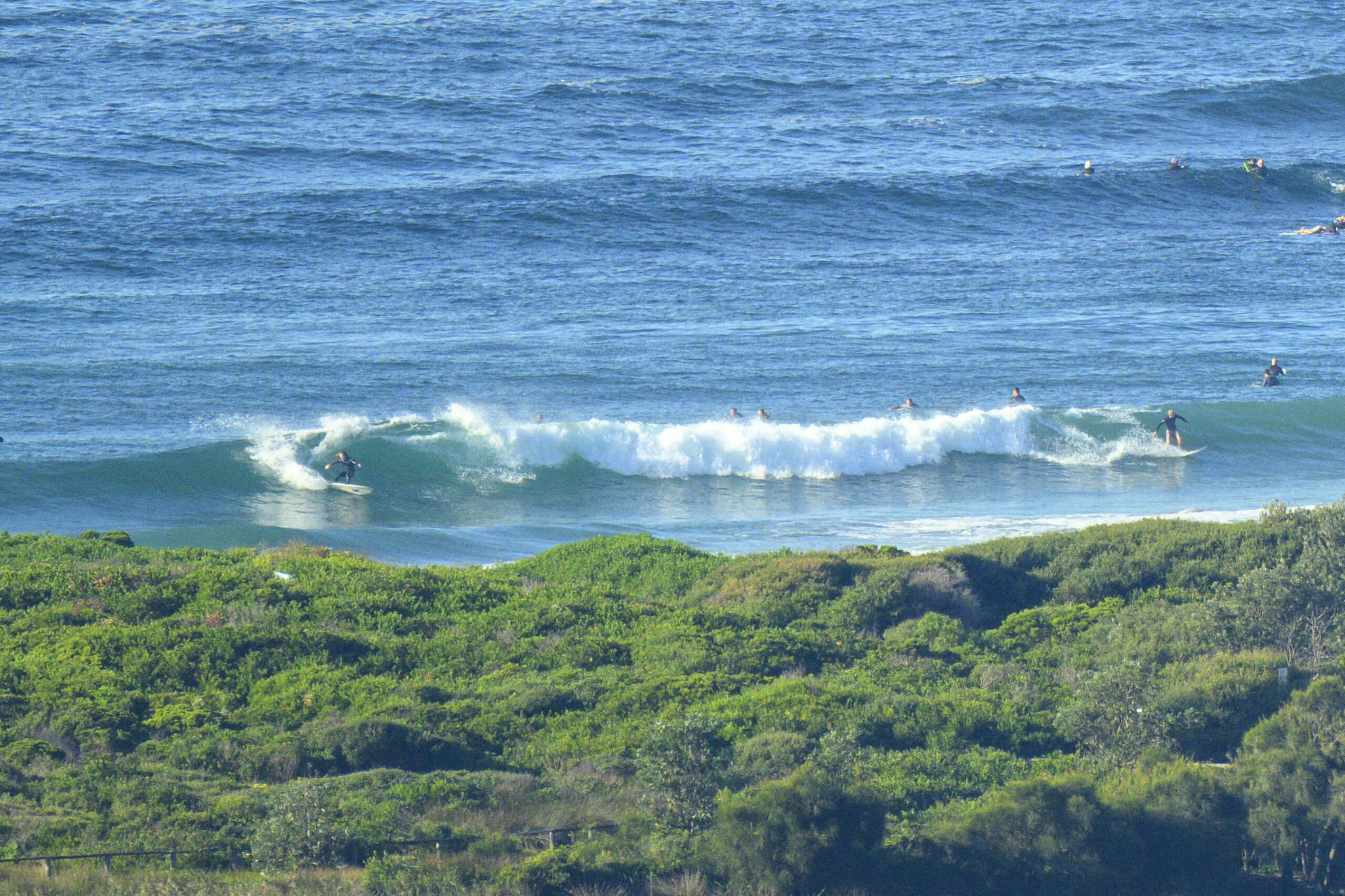
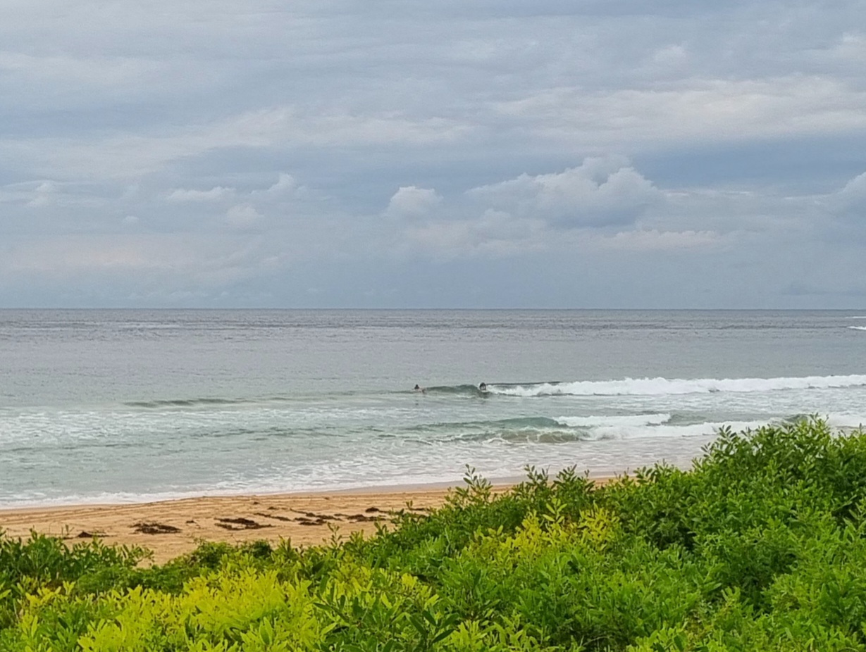
Light easterly bumping the tops over on a small (metre or so) SE swell (10 seconds) this morning. At Dee Why this translates into knee to waist high little things, but there are occasionally bigger sets (see picture).
The good thing is that the wind is set to decrease a little across the middle part of the day before coming back up in the evening. So, if you’re not fussed by a light onshore, there should be little waves of some description at lots of places today.
The latest run of the swell forecast model interpretations tells us that we’re increasingly likely to see solid east swell from as early as Wednesday. The wind forecast is not good for Wed-Thr (basically blasting SE) but it could turn more straight south Fri-Sat which would open up possibilities in a few corners.
So have yourself a good Sunday and keep on smilin’!
Tides: L @0825, H @1410
Weather Situation
A strong high pressure system over the western Tasman Sea extends a ridge along the New South Wales coast. The high will gradually move to the east over the next few days, with a low pressure system expected to develop off the northern Tasman Sea early in the week.
Forecast for Sunday until midnight
Winds
Easterly 10 to 15 knots decreasing to about 10 knots in the early afternoon then increasing to 10 to 15 knots in the evening.
Seas
Below 1 metre.
Swell
Southeasterly about 1.5 metres.
Monday 18 February
Winds
Easterly 10 to 15 knots tending northeasterly 15 to 20 knots in the morning.
Seas
Below 1 metre increasing to 1 to 1.5 metres later in the evening.
Swell
Easterly about 1 metre.
Weather
The chance of thunderstorms.
Tuesday 19 February
Winds
Northeasterly 15 to 20 knots.
Seas
Up to 1.5 metres.
Swell
Easterly 1 metre.
Weather
The chance of thunderstorms from midday.


