Hello Friends,
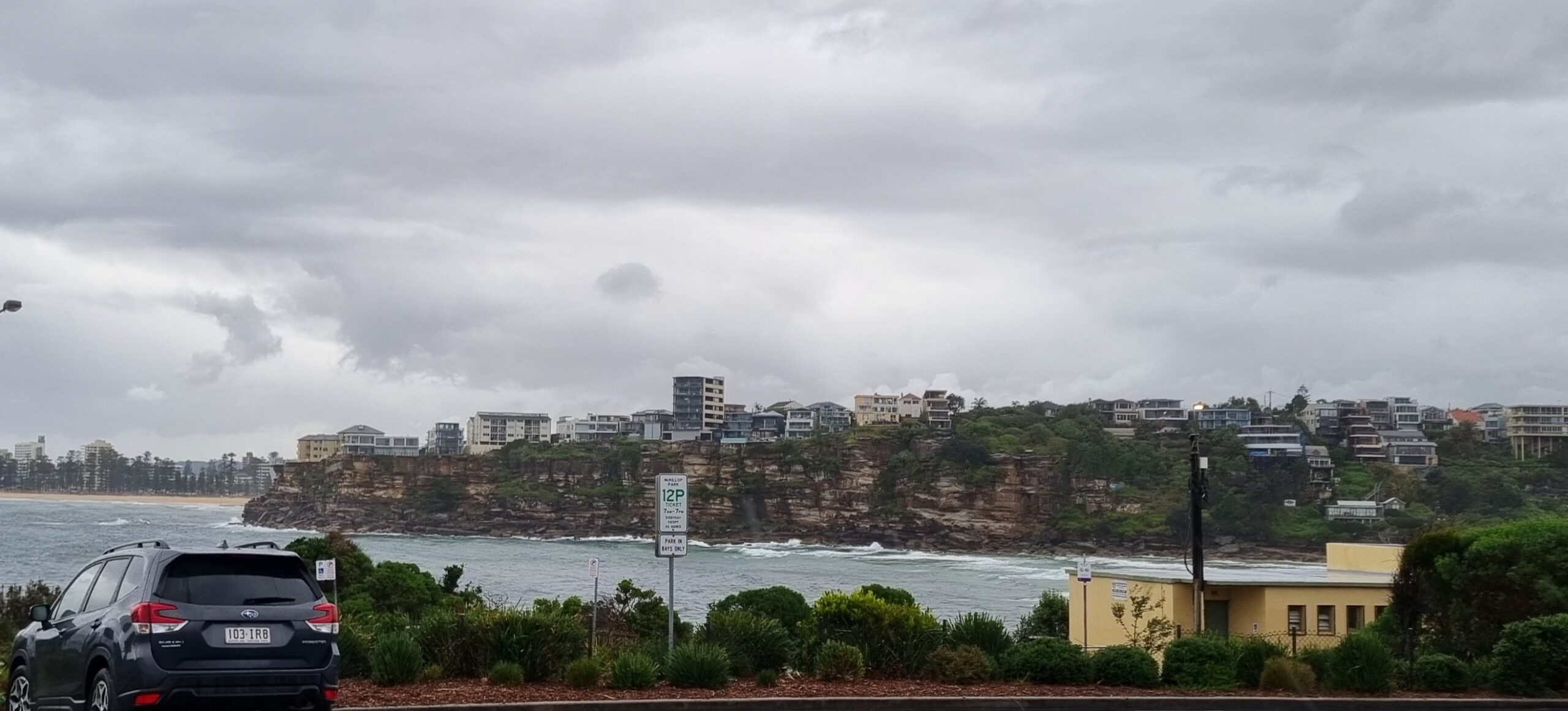
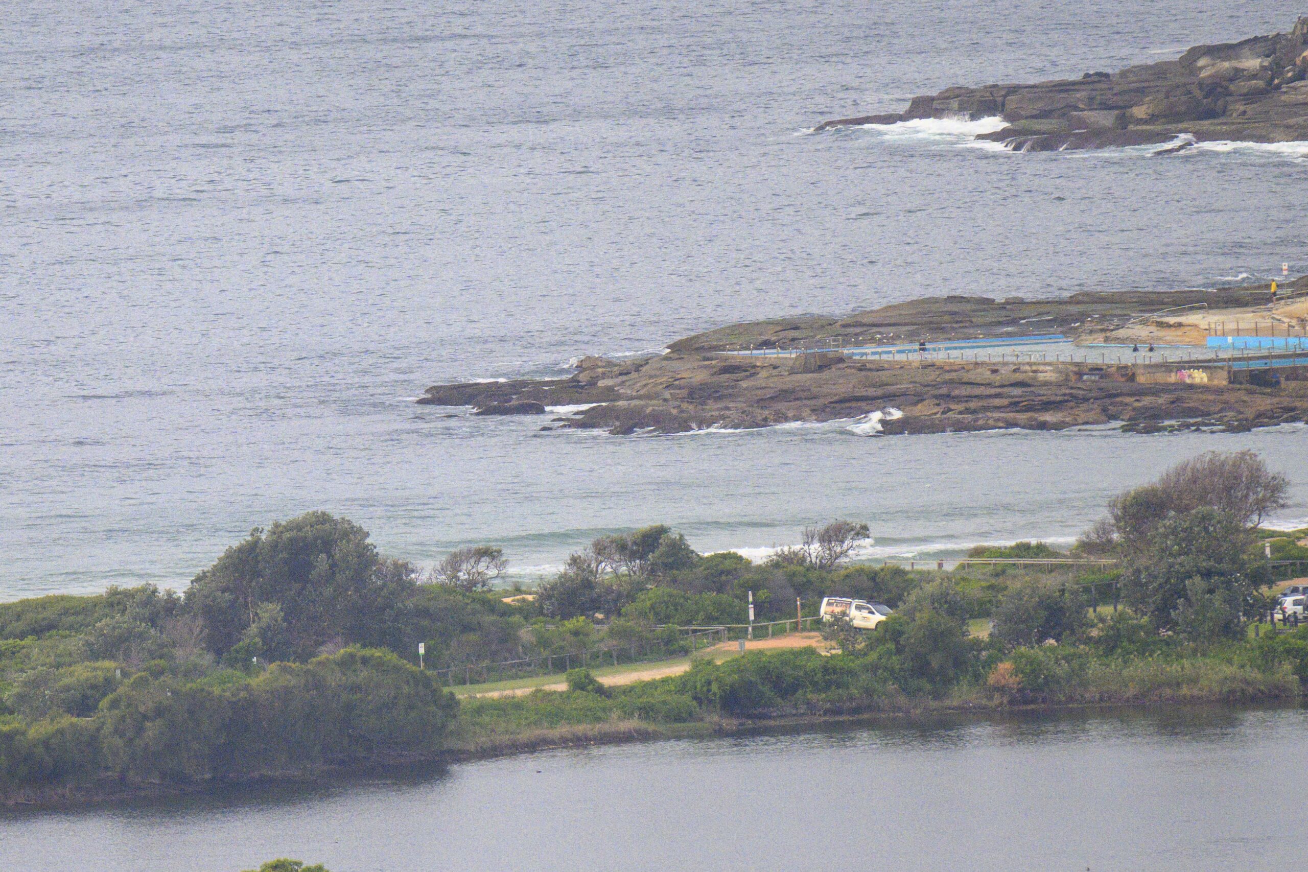
As anticipated in the forecast yesterday, this morning sees very little in the way of wave energy. Dee Why was struggling to deliver any sets much above the waist high mark when I checked it a little after 0800. The tide won’t be changing much between now and dusk (the tidal swings are on the order of 0.5m), and the wind is expected to be light this morning before swing NE and picking up into the 15-20 kt range.
The swell forecast modelling this morning is not too fabulous for the east coast. There’s plenty of activity in the southern ocean, but the models show the energy coming around Tas and basically heading over toward NZ’s west coasts.
Hope this pattern starts to shift soon…
Have yourself a great Wednesday everyone!
Weather Situation
A high pressure system over the southwestern Tasman Sea will move slowly towards New Zealand over the next couple of days maintaining the ridge to the the northwest. A trough will move through the state on Thursday and Friday, bringing an increasing in northeasterly winds to most coastal waters.
Forecast for Wednesday until midnight
Winds
Northeasterly below 10 knots, increasing to 15 to 20 knots in the evening.
Seas
Below 1 metre.
Swell
Southeasterly about 1 metre.
Thursday 21 March
Winds
North to northeasterly 15 to 25 knots becoming northeasterly 25 to 30 knots in the evening.
Seas
1 to 1.5 metres increasing to 1.5 to 2 metres around midday.
Swell
Southeasterly 0.5 metres.
Friday 22 March
Winds
Northerly 20 to 30 knots.
Seas
Up to 3 metres decreasing to 2 metres during the afternoon.
Swell
Easterly 1 to 1.5 metres.
Weather
The chance of thunderstorms during the evening.


