Hello Friends,
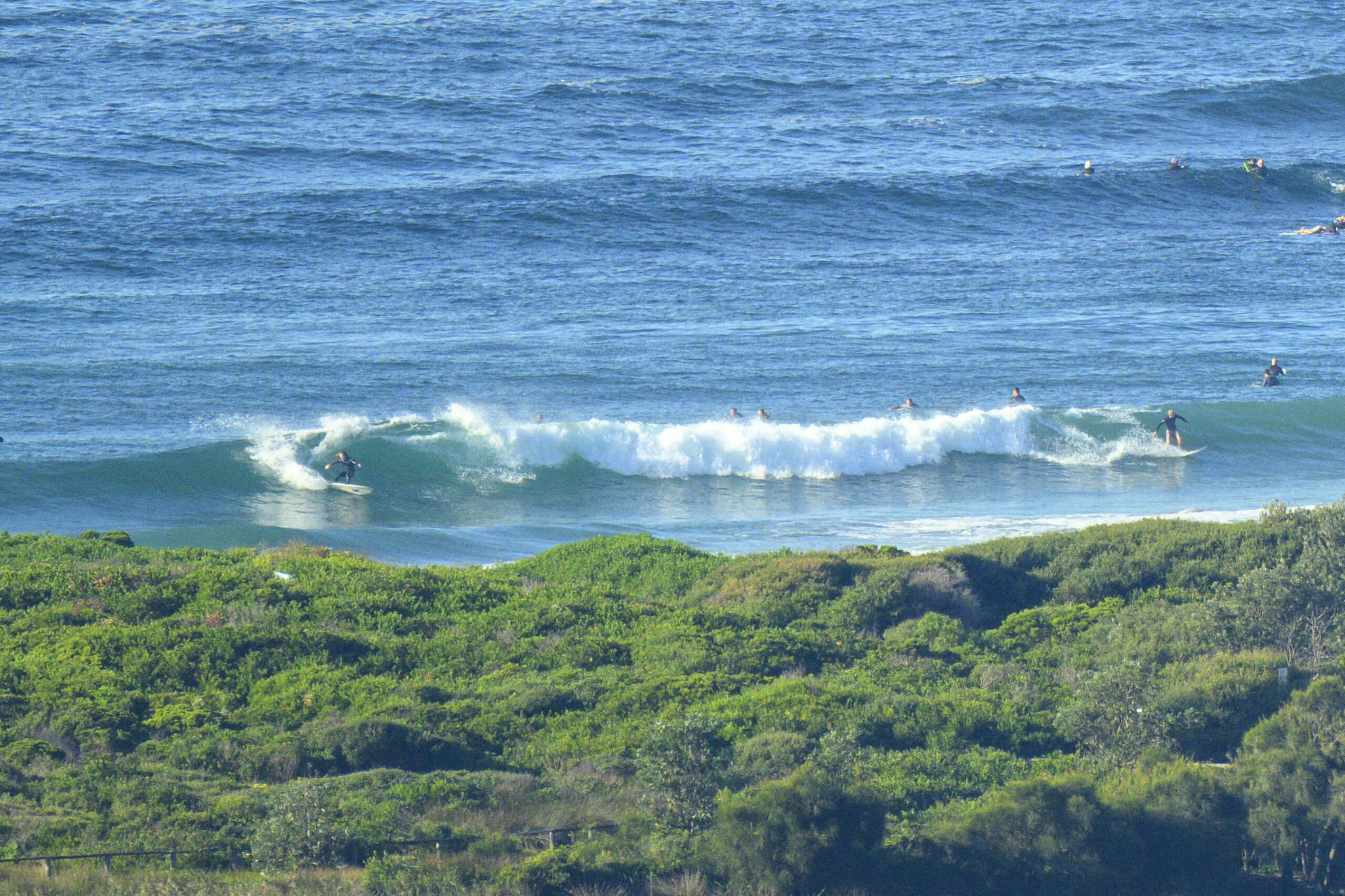
Cloudy, light offshores and as of 0800 a touch under 1.5 metres of ESE wind swell with an average period of 6 seconds. At Dee Why around 0800 there were occasional sets to waist high. Tide was right on the high (@0815). It’s swinging quite a bit at the moment, so by the time the low arrives at 1435, it’ll have dropped more than a metre.
According to the latest modelling, this morning’s little uptick could be the best of a very marginal lot for the next 2-3 days. Friday should see a south change rattle through the place, so there may be some waves to be had in protected corners.
Have a great Tuesday!
Weather Situation
A high pressure system near New Zealand is maintaining a ridge towards southeast Queensland, while a low pressure trough lies over northeastern New South Wales. This trough is weakening while a broad trough with embedded fronts approaches from the west. As the high remains near New Zealand, northerly winds will develop across the state, bringing warm to hot conditions in most districts. The cold front is forecast to bring a gusty southerly change later Thursday and Friday.
Forecast for Tuesday until midnight
Winds
Northeasterly 10 to 15 knots increasing to 15 to 20 knots in the late afternoon.
Seas
Below 1 metre increasing to 1.5 metres later in the evening.
Swell
Easterly about 1 metre.
Wednesday 27 March
Winds
Northeasterly 15 to 20 knots.
Seas
1 to 1.5 metres increasing to 1.5 to 2 metres by early evening.
Swell
Easterly 1 metre.
Thursday 28 March
Winds
Northeasterly 20 to 30 knots turning northerly 25 to 30 knots during the evening.
Seas
2 metres increasing to 3 metres during the evening.
Swell
Easterly about 1.5 metres.


