Hello Friends,
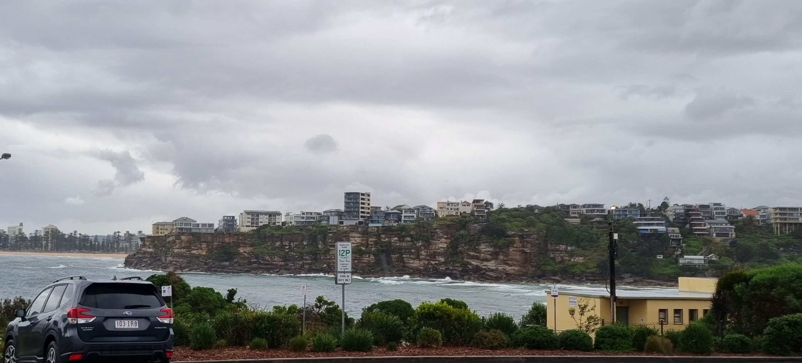
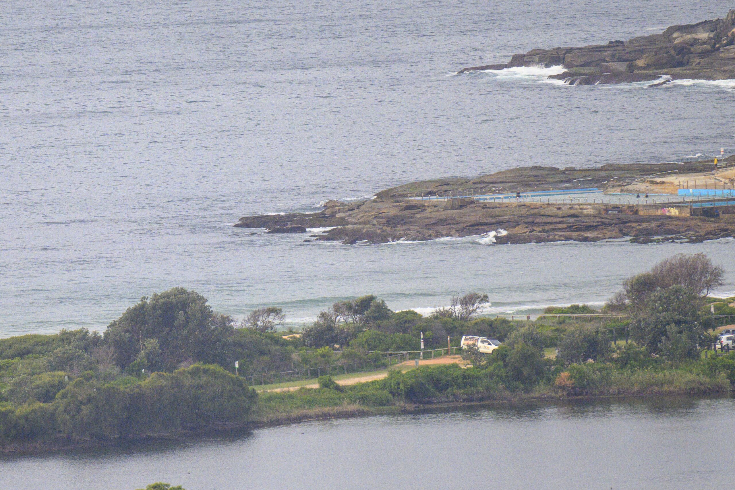
SE 10-15 kts and about a metre of SE swell at 9 seconds apart does not a pretty picture make for Sydney surfers. Throw in grim, grey skies, cold temps and occasional rain and you have a great day for hopping into other things and forgetting about the beach for now.
To the extent it matters, tide was high at 0615 and will be back to low at 1215.
The Goat usually rocks up with a few thoughts on Thursday, so it’ll be interesting to see what he thinks, but from the swell modelling this morning, it looks as though tomorrow will also be blighted by SE winds and that it will carry on through to Saturday afternoon, when the SW wind should come back. Sunday is still looking a prospect for reasonable waves.
Go well with your Thursday!
Weather Situation
On Thursday a low pressure trough will form near the New South Wales coast, directing a fresh to strong east to southeasterly airstream over the New South Wales coast. Wind will increase further in the north on Friday as a low pressure centre deepens in the trough. A high pressure ridge is then expected to develop across New South Wales on Saturday.
Forecast for Thursday until midnight
Winds
Easterly 10 to 15 knots tending southeasterly 15 to 20 knots early in the morning.
Seas
1 to 1.5 metres, increasing to 1.5 to 2 metres during the afternoon.
Swell
Southeasterly 1 to 1.5 metres.
Weather
The chance of thunderstorms.
Friday 24 May
Winds
Southeasterly 20 to 25 knots.
Seas
1.5 to 2 metres increasing to 1.5 to 2.5 metres
offshore.Swell
Southeasterly 1.5 metres, increasing to 1.5 to 2 metres during the morning, then decreasing to 1.5 metres around midday.
Saturday 25 May
Winds
South to southeasterly 20 to 25 knots tending south to southwesterly 15 to 20 knots during the morning then becoming variable about 10 knots during the evening.
Seas
2 to 2.5 metres, decreasing below 1.5 metres during the morning.
Swell
South to southeasterly 1 to 1.5 metres..


