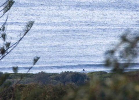
Very small SE bump
Hello Friends, A beautiful morning along the beaches but maybe not so hot on the air quality front in the city. Surf? Not really. South Narrabeen looks flat, or near enough, and Dee Why is only a tiny bit bigger. At 0700 there was just enough energy to make a liitle barely catchable bump at […]
Back to tiny for Sunday at Dee Why
Hello Friends, Another beautiful day coming up for Sydney. Unfortunately for DY surfers there was nothing going on at the point and only the odd knee high ripple along the beach when I checked it out at 0720. I reckon the best of the magnets will be in the knee to waist range with the […]
Tuesday getting smaller but still catchable this morning
Hello Friends, Sunny start to Tuesday and about a metre of 9-sec SE swell coming into Sydney’s beaches. Tide was low at 0615 and is now coming into the high at 1245. Sets along the beach looked to be in the waist plus range, while at the point waves generally seemed to be a little […]
Small but not flat on Monday morning
Hello Friends, Light north wind as the day got started and swell was a touch under a metre out of the SE at 9 seconds apart. At Dee Why there were knee to waist-ish lines at both the point and along the beach. Tide was still coming into the high at 0910. There’s a strong […]
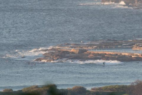
Tiny Tuesday under clearing skies
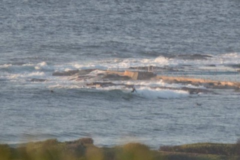
Hello Friends, Had to wait for awhile to get a picture of someone actually riding a wave at the point a little before 0700 this morning. Swell has dropped down another cog and the rideable set waves are getting rarer. Wind was light from the north and the 0500 MHL data showed about a metre […]
Marginal yes, but not totally flat

Hello Friends, Monday morning started off with clear skies and chilly offshores along the beaches. As of 0500 the main swell energy was coming from the SE. It was around a metre at 9 seconds and where Dee Why’s concerned, that meant ankle to knee at the point and knee to waist-ish up the beach. […]
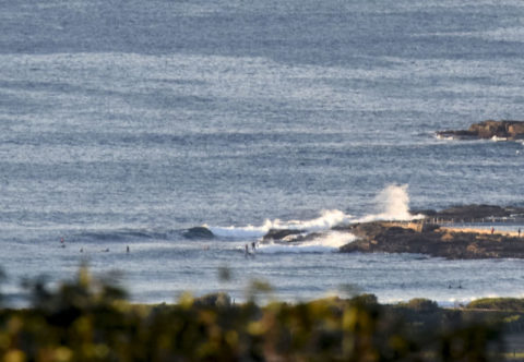
Southerly day in prospect
Hello Friends, Sunny, light offshore and really small as Thursday got started. We had around a metre of 9-second SE swell. At Dee Why it was struggling to get to waist high and despite smooth surface conditions had only attracted a few takers. Things look like being very different later today and tomorrow. As noted […]
Here a bit better than there
Hello Friends, Running a bit late today. Looks like Sydney’s not doing much surfwise. Hardly any swell showing on the MHL buoy and stiff 20+ kt NW wind should mean marginal knee to waist at places that like the metre or so of 9-sec period SE swell. Monday for the early looks like a bit […]
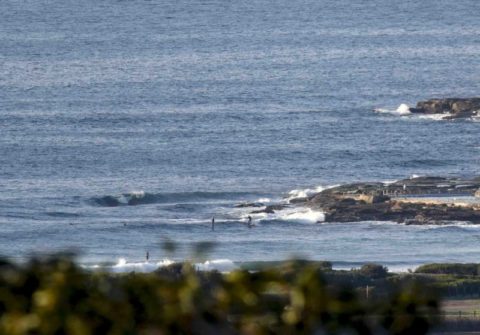
Quiet Tuesday morning at Dee Why
Hello Friends, This morning saw about a metre of 9-second period SE swell wafting in under sunny skies, wintery chilliness and light offshores. Tide was dropping toward the low at 0930. But the only person having a go when I grabbed the pics was a lone SUPster looking around the point for a little wave. […]
Faded and still fading
Hello Friends, Brief update: Managed to get a look at Manly, Curly and Northy this morning. Around 0900 Manly was knee to waist, clean, but high percentage of shutdowns. The pick quality wise. Curly was waist to chest, a bit ruffled by the wind and mostly shutdowns with the odd shortish shoulder. Northy had half […]