Hello Friends,
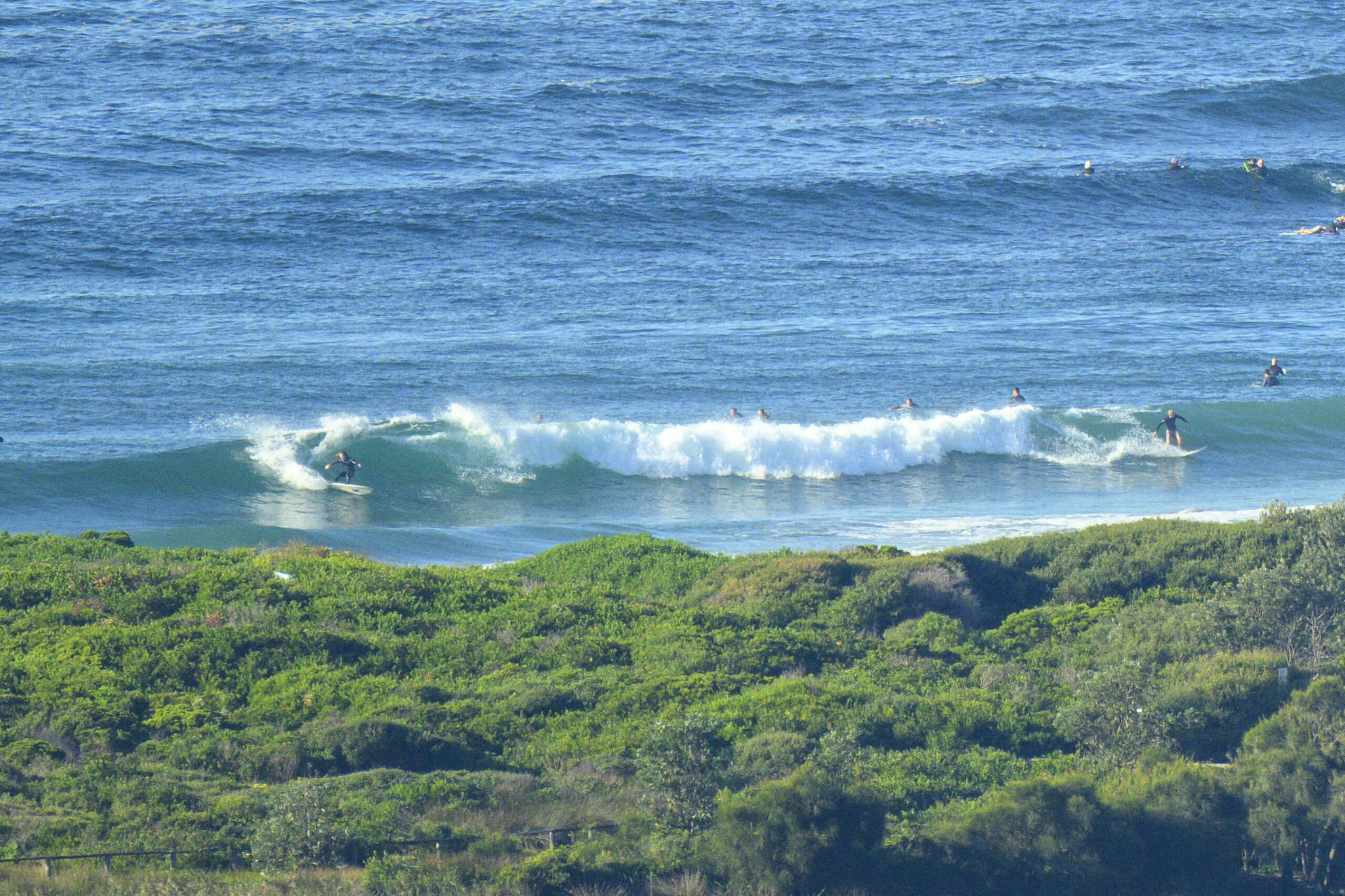
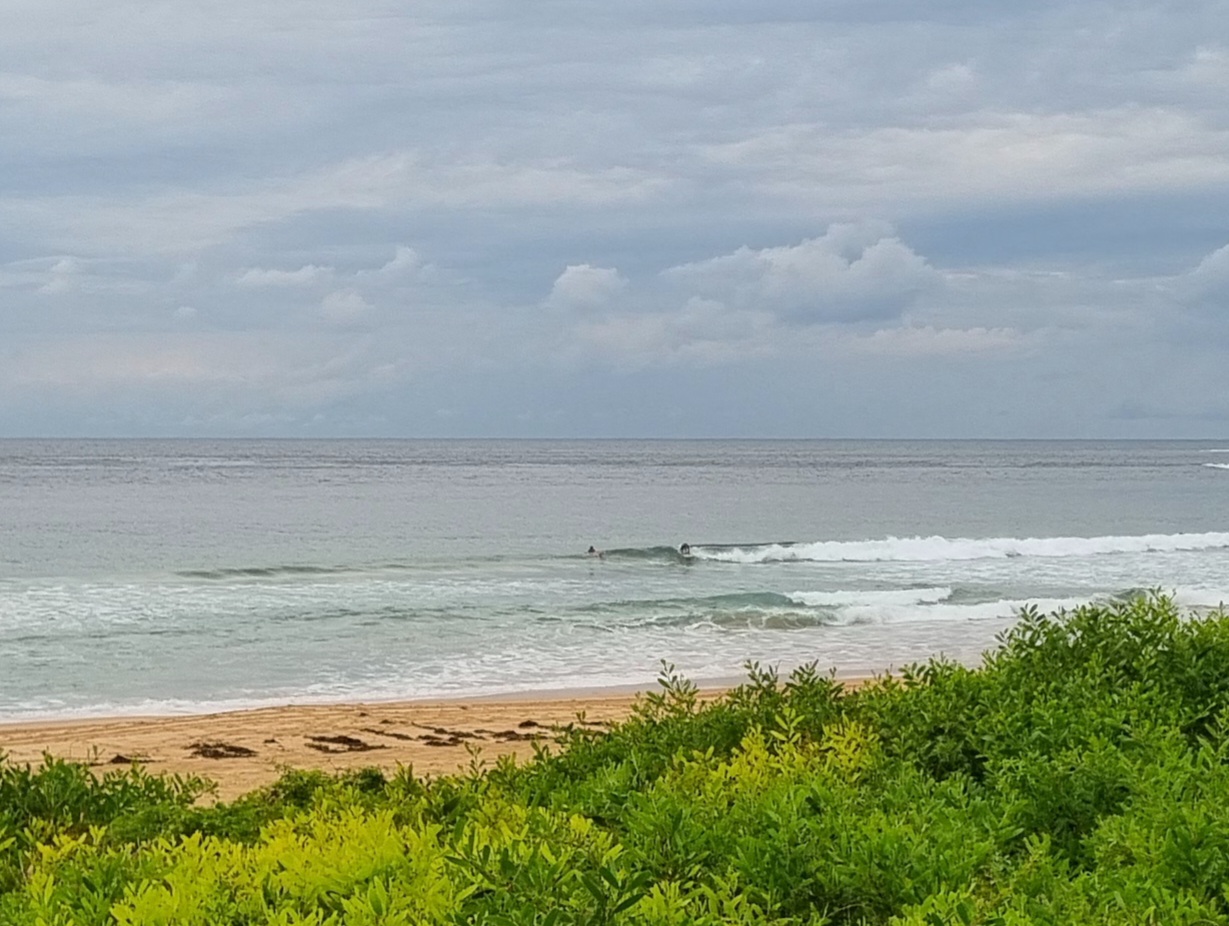
Not much of anything showing on the MHL directional spectra plot for Sydney this morning. What we have is coming out of the NE at about 6 seconds apart and a metre out at sea. There were a few small peaks along the Dee Why to Longy stretch for the early, but if yesterday is any guide, they’ll probably fade out by around 1100 as the tide comes in (it’s high just before 1400). So, I’d get on it now if the opportunity is there for you.
As usual, I concur with The Goat on the surf outlook for the coming weekend. Gotta say too, that this morning’s run of the swell models is pointing toward potentially big southerly conditions early next week.
Have yourself a top old Friday!
Weather Situation
A strong high pressure system over the southwestern Tasman Sea is slowly moving east maintaining a ridge to New South Wales north coast. A cold front is expected to bring a strong southerly change along the coast on Sunday.
Forecast for Friday until midnight
Winds
North to northwesterly 10 to 15 knots.
Seas
Up to 1 metre.
Swell
Northeasterly around 1 metre.
Saturday 1 June
Winds
Northerly 10 to 15 knots turning northwesterly 15 to 20 knots in the afternoon.
Seas
1 to 1.5 metres, increasing to 1 to 2 metres during the afternoon.
Swell
Northeasterly around 1 metre.
Sunday 2 June
Winds
West to northwesterly 15 to 20 knots shifting southerly 25 to 30 knots during the morning.
Seas
1 to 1.5 metres, increasing to 2 to 3 metres during the morning.
Swell
Northeasterly around 1 metre, increasing to 1 to 2 metres during the afternoon or evening.


