
Hello Friends,
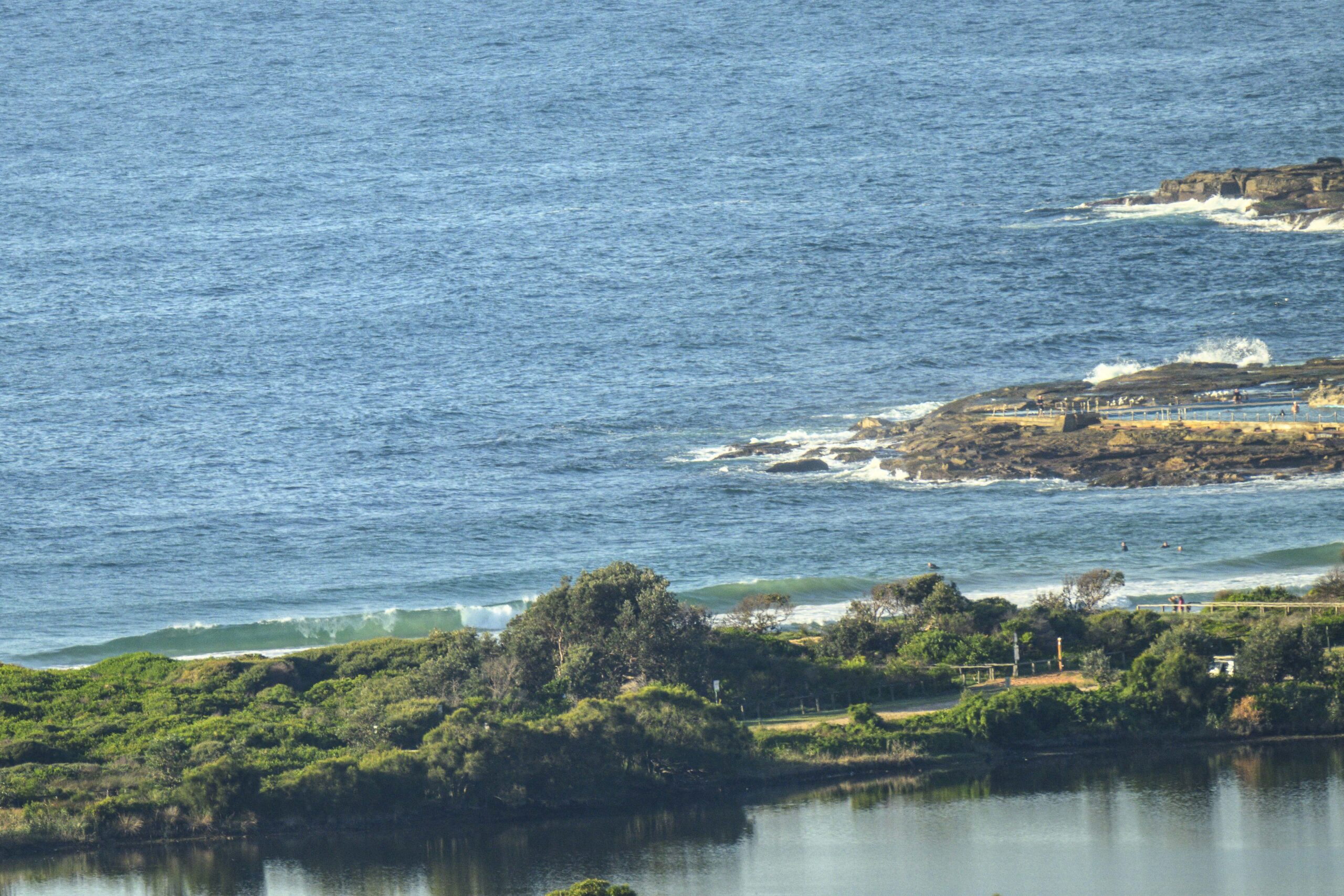
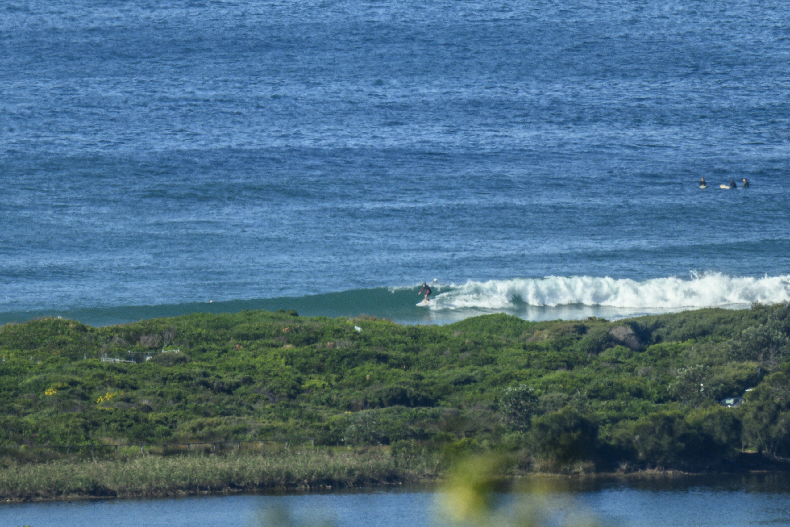
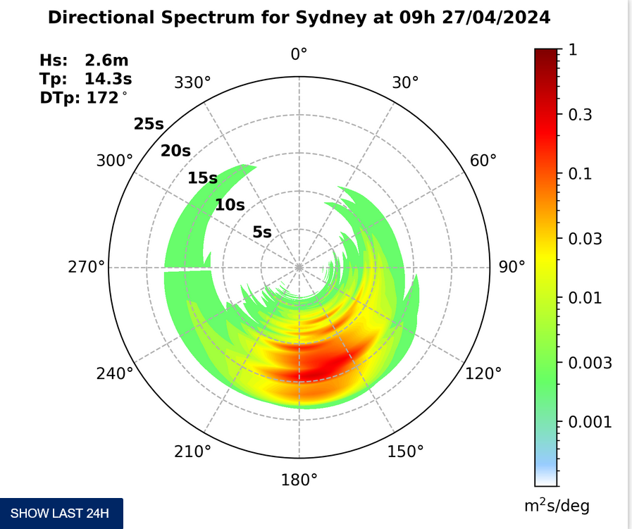
As expected, the swell’s bumped down another notch and moved more to the east. As of 0800 it was coming mainly from the south, but there’s some ESE going on too. It’s only around the 1.5 metre mark at sea, but the average period is 11 seconds, so the bigger ones are into the chest plus range. Surface conditions for the first session of the day were pretty clean too.
Wind light and variable later, but we’re kicking off with west to NW’ly 5-6 kts.
Tide is high at 1100 and low at 1655.
Outlook is for the swell energy to weaken a little as the day goes along, so high tide may result in pretty slim pickings. Get in earlier if you can.
Have yourself a top old Friday everyone!
Forecast issued at 4:10 am EST on Friday 26 July 2013.
Weather Situation
A strong high pressure system over southeast Australia is gradually drifting east. By Saturday it is expected to be centred above the Tasman Sea, while maintaining a ridge into northern New South Wales. The next cold front is expected to reach the state’s western border during Sunday, continuing across to the coast on Monday.
Forecast for Friday until midnight
Winds
West to northwesterly 10 to 15 knots becoming variable about 10 knots in the afternoon.
Seas
Up to 1 metre.
Swell
Southerly 1.5 to 2 metres, decreasing to 1.5 metres around dawn, then tending easterly 1.5 metres during the afternoon.
Saturday 27 July
Winds
Variable about 10 knots.
Seas
Below 1 metre.
Swell
Southeasterly 1 to 1.5 metres.
Sunday 28 July
Winds
Northerly 10 to 15 knots, increasing to 20 to 25 knots during the evening.
Seas
Around 1 metre, increasing to 1 to 2 metres during the morning.
Swell
Easterly 1.5 metres.


