

Hello Friends,
Vale Allan Byrne. Surfing just lost one of its greats.
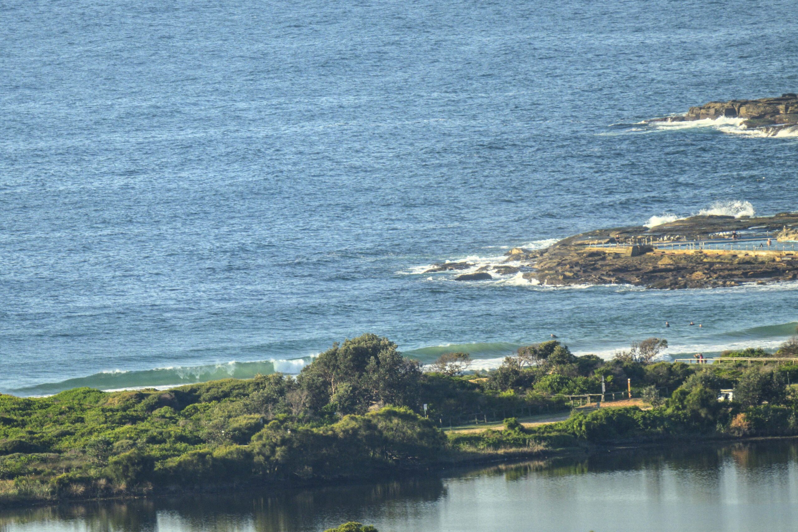
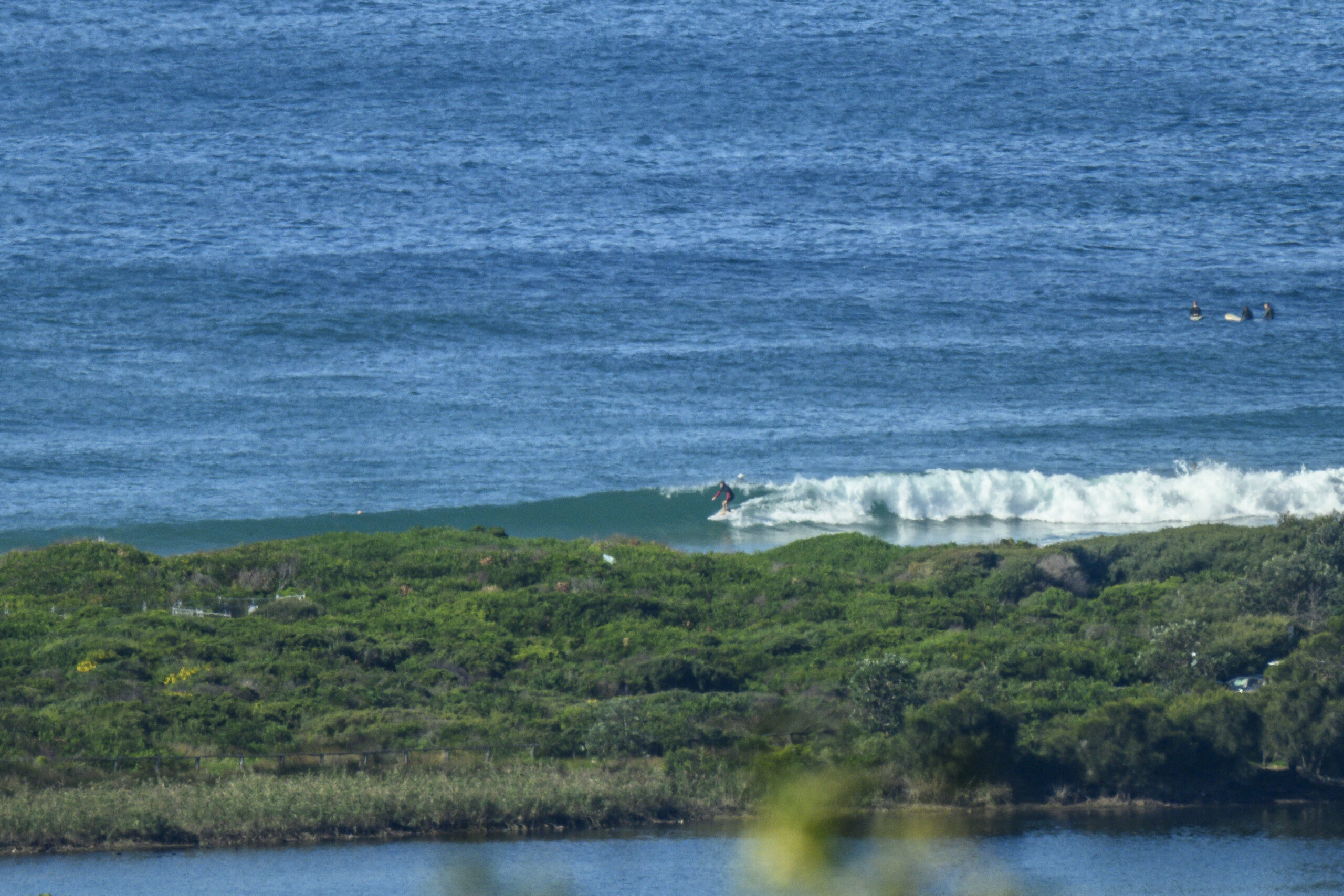
When I checked it right on dusk last night, the signs were not hopeful. But today starts off with clean looking waist to chest plus SE swell at Dee Why beach. Every now and then a big enough set arrives for the point to produce something in the waist plus range. Wind was light and offshore too.
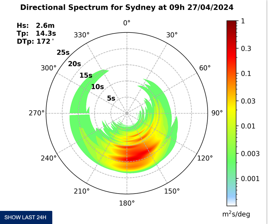
We’re looking at a high tide around 0940, so the early risers will have had the best of it maybe. Still, the wind’s set to be offshore most places all day. Swell is SE at a couple metres at sea with an average period of only 8.5 seconds. The trend will be for the energy levels to decrease gradually across the day.
Have yourself a great Friday!
Tides: H @0940, L @1530
Weather Situation
A complex low pressure system over the western Tasman Sea is bringing strong to gale force winds along the northern NSW coast. Winds will ease during Friday as the low moves east and a high pressure ridge develops over the western Tasman Sea. A weak front will pass to the south on Saturday morning before another ridge moves over the state Sunday.
Forecast for Friday until midnight
Winds
Southwesterly 15 to 25 knots turning west to northwesterly 10 to 15 knots in the early afternoon.
Seas
1.5 to 2.5 metres, decreasing below 1 metre around midday.
Swell
Southerly 1 to 1.5 metres.
Saturday 10 August
Winds
West to northwesterly 15 to 25 knots turning south to southwesterly 15 to 20 knots during the day.
Seas
1 to 2 metres, decreasing below 1 metre by early evening.
Swell
Southeasterly 1 to 1.5 metres, decreasing to around 1 metre before dawn.
Sunday 11 August
Winds
Southwesterly 10 to 15 knots becoming variable about 10 knots during the morning then becoming north to northwesterly 10 to 15 knots during the afternoon.
Seas
Up to 1 metre.
Swell
Southerly up to 1 metre.


