

Hello Friends,
Feeling mild early under sunny skies.
This just in: Don feeling concerned about making the crowdfunding target. Please stop waiting to make your pledge!
And now back to our regular program.
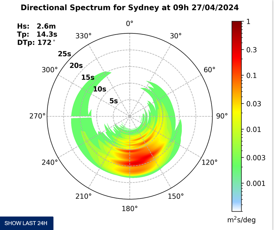
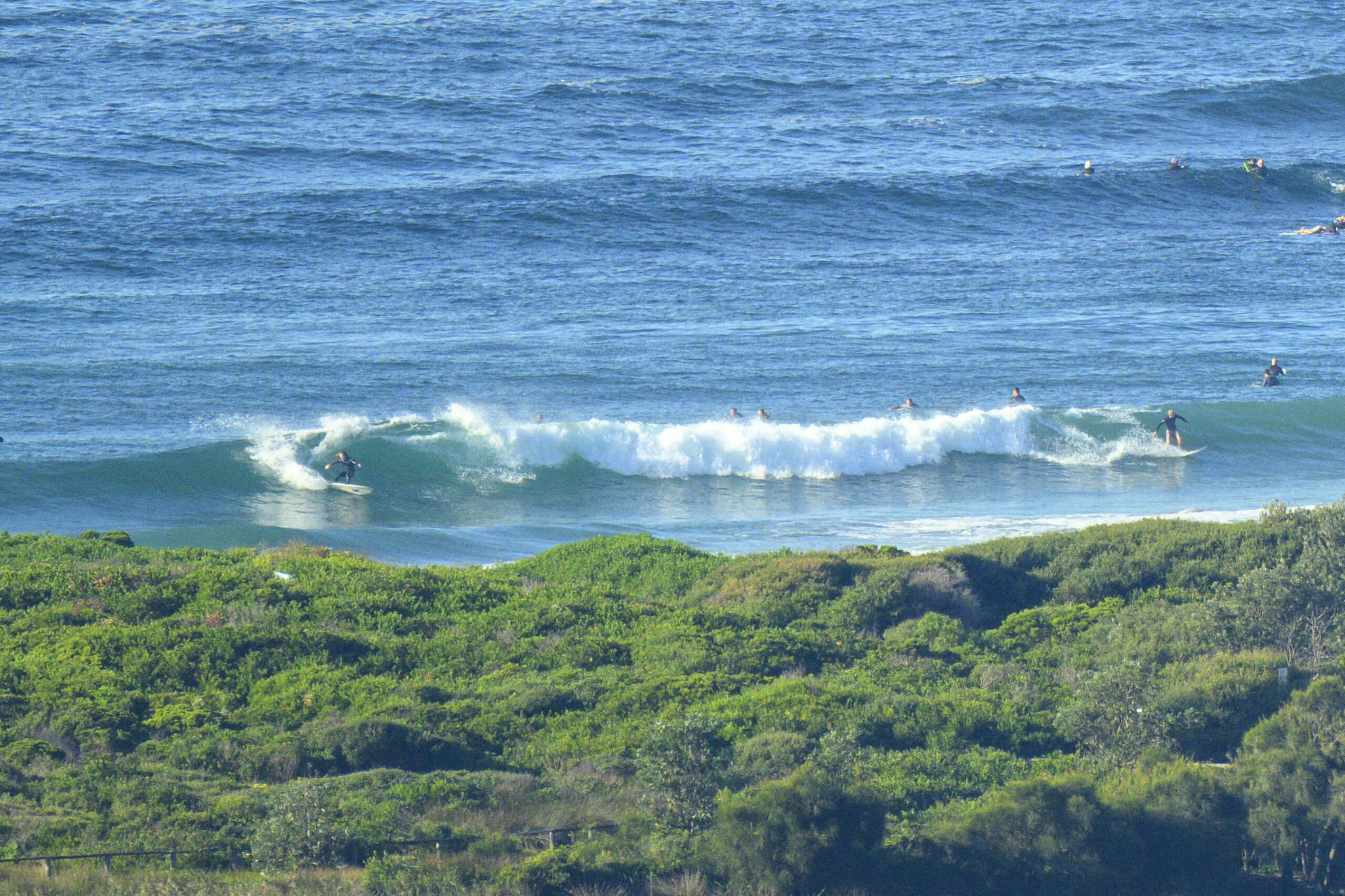
Here’s an odd thing. The MHL spectral data for this morning is showing almost nothing from the south, but close to 2 metres of 8 second period NE wind swell. And yet, the WRL cam at Flight Deck wasn’t looking terribly interesting as the day got started. You wouldn’t expect much from a NE wind swell at Dee Why and as the pictures show, you wouldn’t get much. It’s not flat, and every now and then it seems a worthy section is a possibility, but overall it looked weak, inconsistent and struggling to get above the waist high mark when I checked just before 0800.
Tide will start coming back in from about 0845 so maybe we’ll get a little push then. But two things are going against us: the swell will fade says the Bureau and the N wind is going to ramp up soon (it’s already been at work). Oh, and we’re going to have a very hot day – up to 36 says the Bureau. The long term average for October is 22, but so far this month the average is 25. Not good.
Tomorrow should see those temps come back as 20-30kts of mainly southerly wind hits us. There should be some okay size swell with it, but I reckon the surf options will be less than wonderful given the wind call. Tuesday morning looks more hopeful as we might still have some south swell and the winds are set to come around to the westerly quarters.
Go well with your Sunday one and all!
Weather Situation
A high pressure ridge over the western Tasman Sea is weakening. Increasing northerly winds along New South Wales coast ahead of a gusty southerly change developing on the south coast this afternoon and extending to the far north coast during Monday morning. Behind the front another high pressure ride will develop over the western Tasman Sea on Tuesday and winds are expected to ease.
Forecast for Sunday until midnight
Strong wind warning for Sunday for Sydney Coastal Waters
Winds
Northerly 15 to 25 knots shifting southwesterly 20 to 30 knots in the evening.
Seas
1 to 1.5 metres, increasing to 2 to 3 metres by early evening.
Swell
Northeasterly 1.5 to 2 metres, decreasing to 1 to 1.5 metres around midday.
Monday 14 October
Strong wind warning for Monday for Sydney Coastal Waters
Winds
Southerly 20 to 30 knots tending southeast to southwesterly 15 to 25 knots in the morning then tending east to southeasterly 10 to 15 knots in the late evening.
Seas
2 to 3 metres, decreasing below 2 metres during the morning, then decreasing below 1 metre around midday.
Swell
Northeasterly 1 to 1.5 metres, tending northeast to southeasterly 1.5 to 2 metres before dawn, then tending southerly 2.5 to 3 metres during the morning.
Tuesday 15 October
Winds
Westerly 10 to 15 knots turning northeasterly 10 to 15 knots during the afternoon and evening.
Seas
Around 1 metre.
Swell
Southerly 1.5 to 2.5 metres.


