

Hello Friends
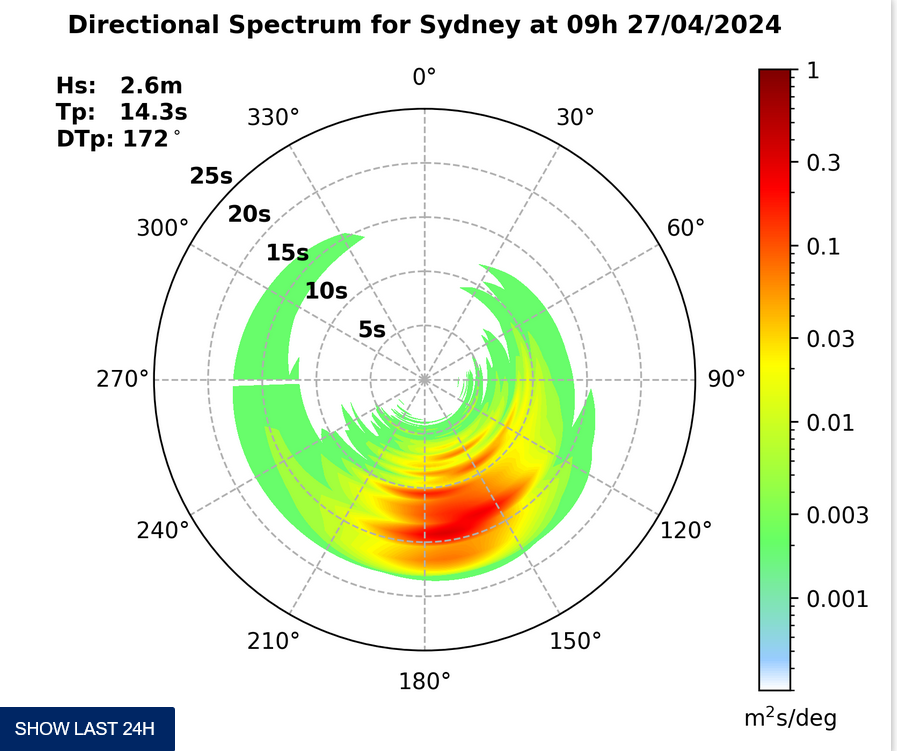
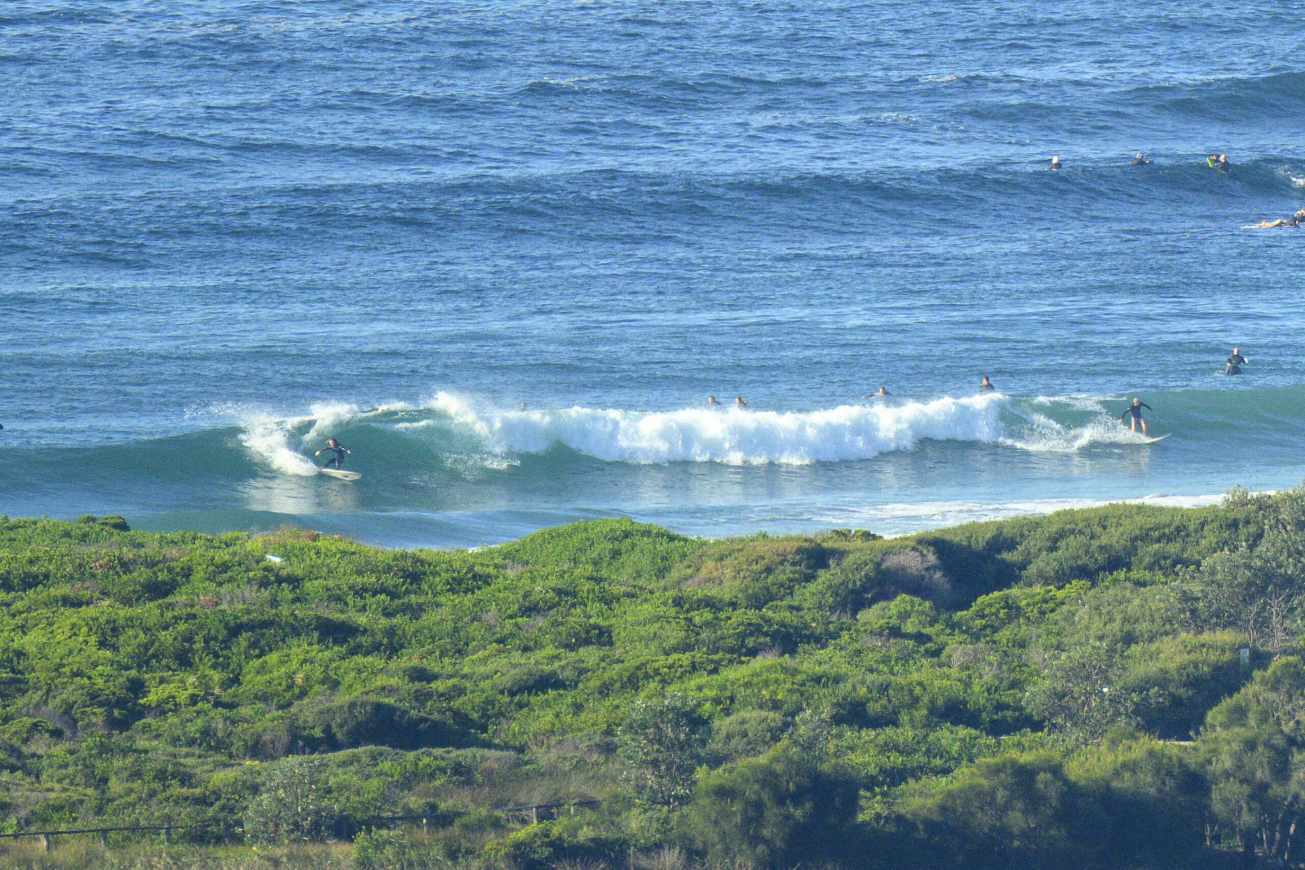
Not much wind about as Saturday got started – and there were little waves too. Tide’s dropping to a low at 1240 and swell is out of the SE at nearly a metre with a period of 9 seconds. Despite the numbers, the waves look mostly to be in the chest range on sets at places like Dee Why. It was reasonably consistent (and at Dee Why it needed to be because of the crowd), but the banks aren’t too flash and both Dee Why and the south end of the Collaroy-Sth Narra stretch looked a bit flabby and rippy.
The Bureau tells us the wind will get going pretty early – and that it’s going to swing from the S to the SE – so the time to go is now.
Weather Situation
A high pressure system south of Adelaide extends a ridge across New South Wales, while a cold front off the northern coast moves away to the east. This high will drift slowly east through the weekend, with coastal winds tending southeast to northeasterly through this period. This high will remain the dominant synoptic feature until mid-week, when the next low pressure trough is forecast to approach from the west.
Forecast for Saturday until midnight
Winds
Southerly 15 to 20 knots tending southeasterly 10 to 15 knots in the evening.
Seas
1 to 1.5 metres, decreasing below 1 metre by evening.
Swell
East to southeasterly 1 to 1.5 metres, tending southerly 1.5 to 2 metres during the morning.
Sunday 1 December
Winds
Southeasterly 10 to 15 knots turning east to northeasterly below 10 knots in the afternoon.
Seas
Below 1 metre.
Swell
Southerly 1.5 to 2 metres, decreasing to 1 to 1.5 metres.
Monday 2 December
Winds
Northeasterly 10 to 15 knots.
Seas
Around 1 metre.
Swell
Southerly 1 to 1.5 metres, decreasing to around 1 metre.


