Hello Friends,
The showery weather looks to be clearing, but there could be a one or two left. While my veggie patch liked it, the rain has been sufficient to also trigger pollution warnings at most of the Northern beaches south of Newport, pretty much all of the eastern suburbs and the north and south ends of the Voodoo to Cronulla stretch. Manly’s particularly ordinary on that front.
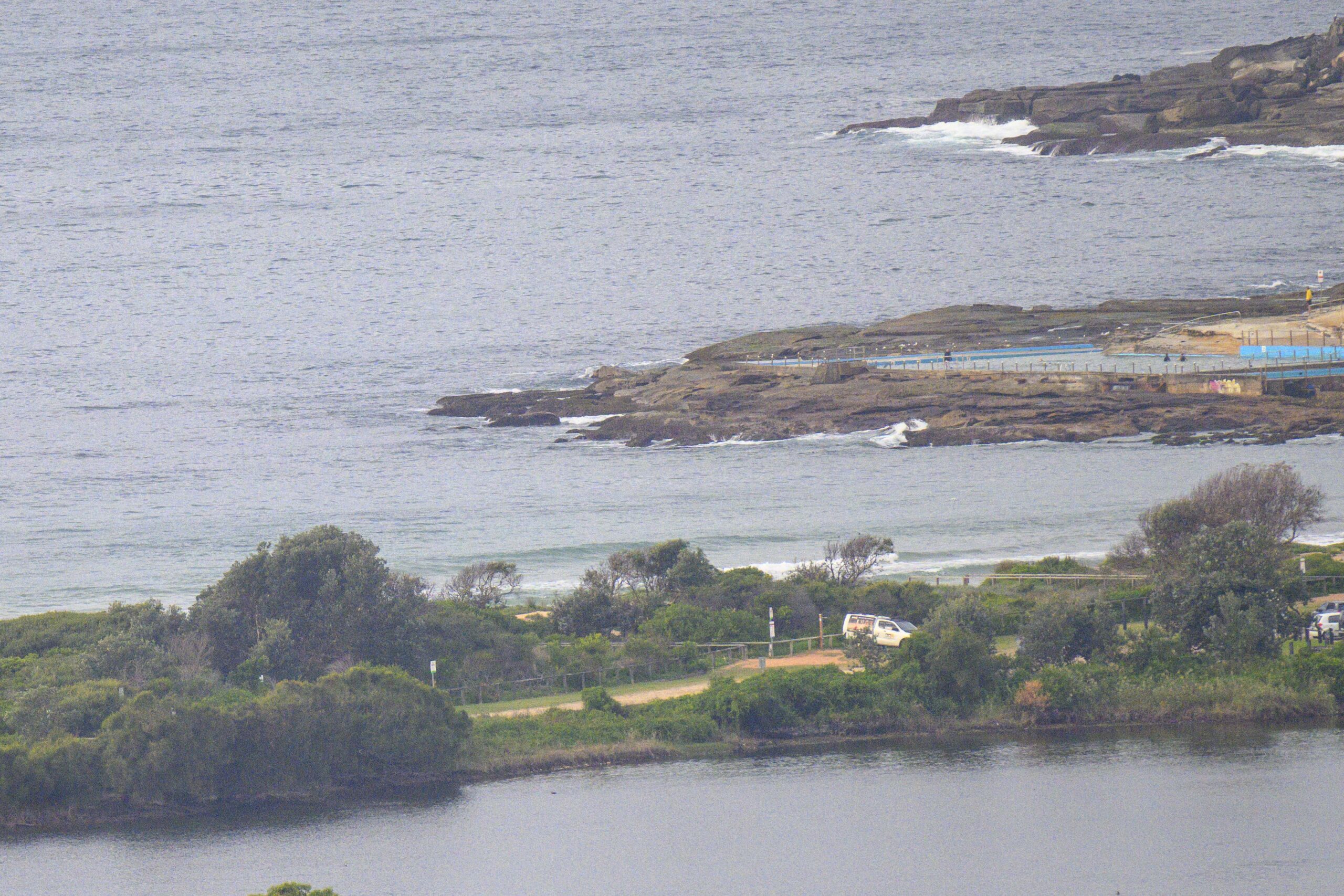
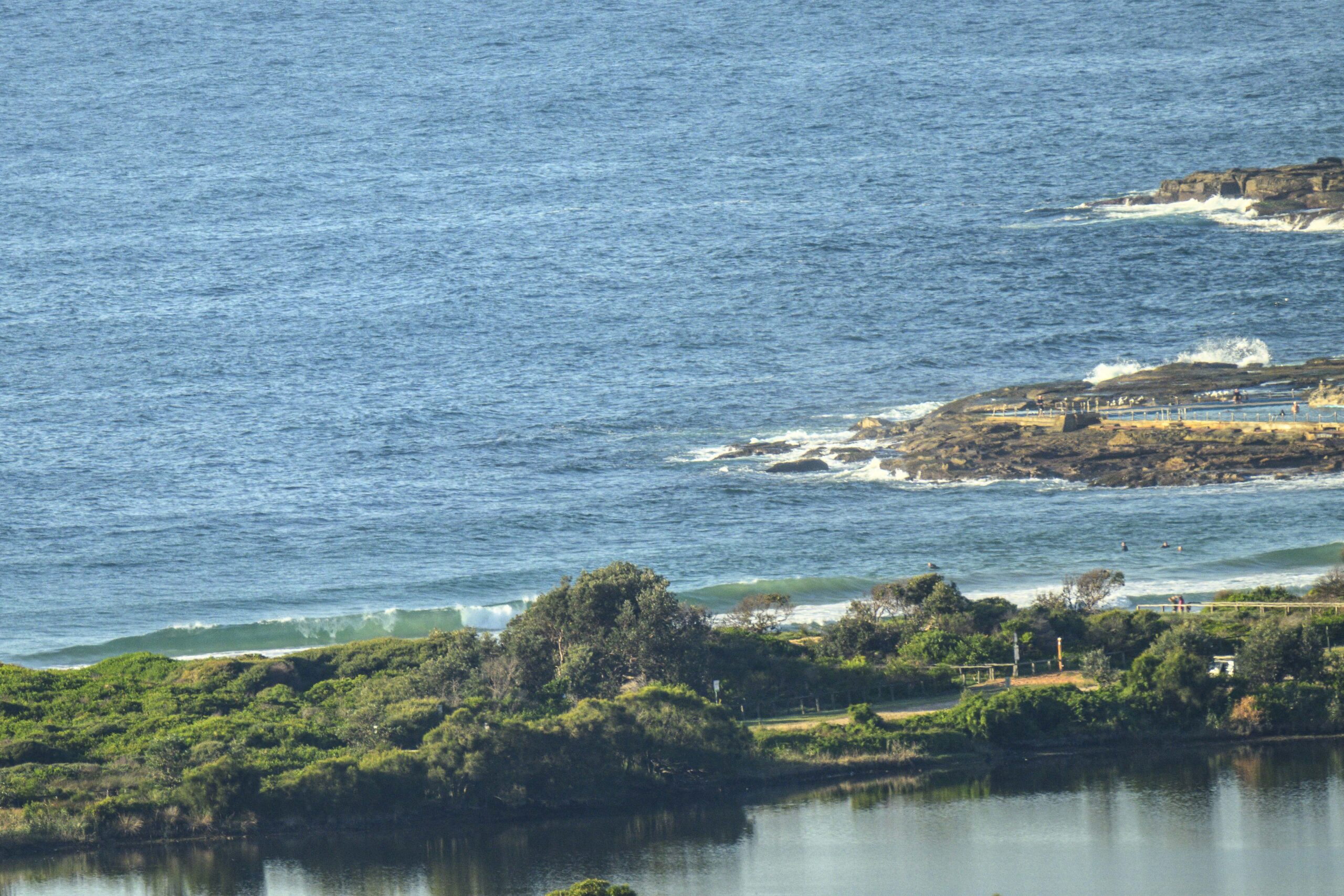
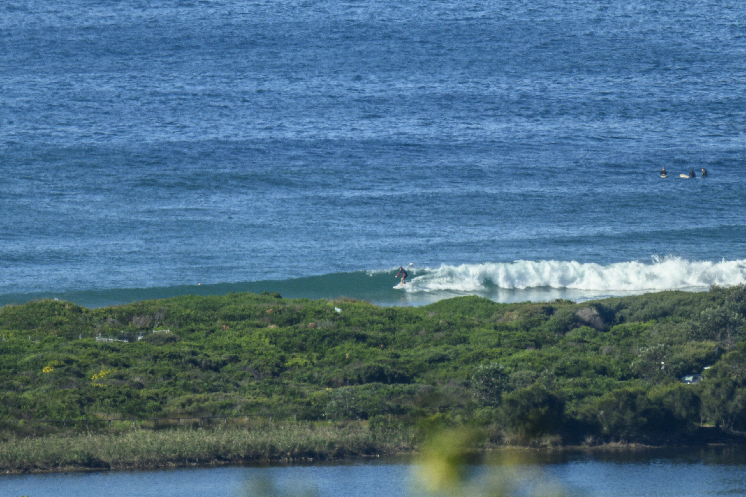
Waves? Oh yeah, them. Well, it seems we have only a tiny south wind bump. At Dee Why it’s delivering the odd waist high crumbler. Wind is currently sideshore from the SSW at up to 10 kts. It’s supposed to pick up into the 15-25 kt range before long and then go SE this afternoon. Then it stays east to SE tomorrow. Lovely.
The weird thing is that although we’re seeing a little low develop off Sydney right now, the Bureau doesn’t expect it to generate any waves to speak of.
Tide was low at 0815 and there’ll be a small increase to the high at 1415.
The next week isn’t looking too crash hot on the models this morning. We could see something interesting size-wise on Sunday afternoon, but the forecast is also for fresh to strong SSE wind, so I’m not overly hopeful at this stage. That said, the very long range models are looking slightly interesting in terms of activity off to our NE toward Fiji…
Have yourself a top Boxing Day!
Forecast updated at 8:03 am EDT on Thursday 26 December 2013.
Weather Situation
A low pressure trough lies over the northern inland of NSW, while a high over the Tasman Sea extends a weak ridge along the coast. This trough will shift to the northeast today under the influence of a passing upper-level feature, the presence of which has lead to the development of a low pressure centre about 20nm to the southeast of Sydney. This low is expected to deepen this morning before steadily moving to the northeast this afternoon. Fresh to strong winds are expected in the vicinity of the low, tending gale-force on the southern periphery. By Friday, a new ridge is expected to extend along the NSW coast as another low pressure trough develops over the state’s west. This next trough is forecast to bring a vigorous southerly change along the coast later on the weekend.
Forecast for Thursday until midnight
Strong Wind Warning for Thursday for Sydney Coastal Waters
Winds
South to southwesterly 15 to 25 knots turning southeasterly 10 to 15 knots in the late afternoon. Winds reaching up to 30 knots offshore in the morning.
Seas
1.5 to 2.5 metres, decreasing below 1.5 metres during the afternoon.
Swell
Easterly below 1 metre.
Weather
The chance of thunderstorms in the afternoon.
Friday 27 December
Winds
East to southeasterly 10 to 15 knots.
Seas
Around 1 metre.
Swell
Easterly below 1 metre.
Saturday 28 December
Winds
Variable about 10 knots becoming northeasterly 15 to 25 knots during the day.
Seas
Around 1 metre, increasing to 1.5 to 2 metres during the afternoon or evening.
Swell
Easterly around 1 metre.


