Hello Friends,
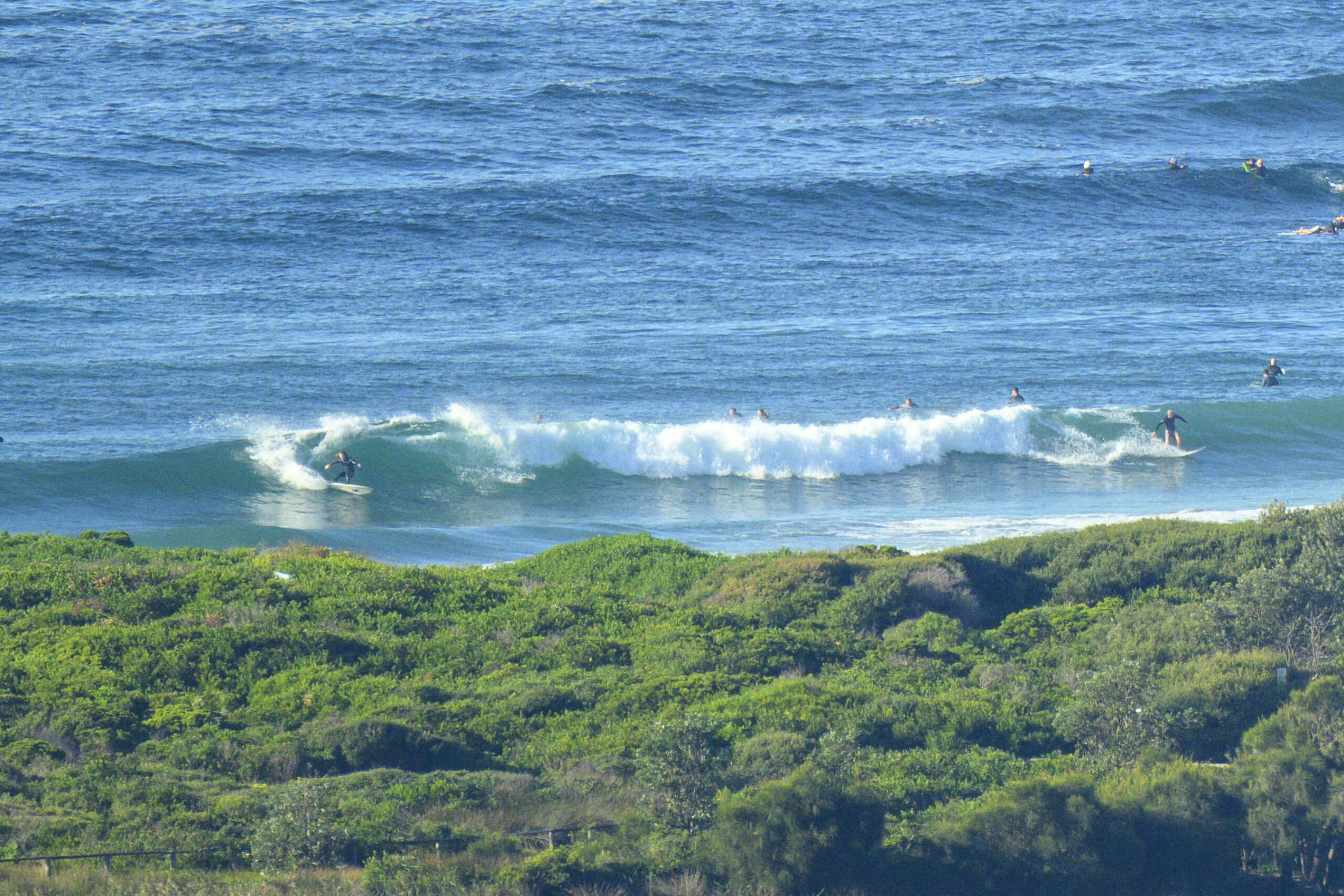
With the swell fading away, and a happy coincidence of schedules, RS reporter of yore, PB and I headed north last night to set ourselves up for some mal riding at Crescent this am. Fortunately the forecast was pretty close and we woke to glassy little knee to chest plus lines at the point. Poi-fect!
It was a bit busy though. It may be midweek in the shoulder season but the caravan park was pretty full and there were always at least 30 folks in the line up. Apparently it was insane on Monday when the swell was macking up this way. 100 plus in the water apparently. So much for the uncrowded north coast.
I wore my funky homemade GoPro rig when we went out, so the water pics are all framegrabs from the video footage. I’ll try hacking it together to share later.
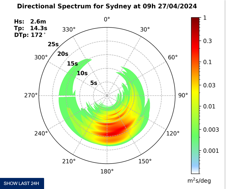
From the look of the MHL data, Sydney and Crescent are around the same size – ie about a metre at 11 seconds apart. Outlook is for the wave size to hang around at about this level for another day before it begins to pick up again on Friday and into Saturday. The forecast models are still showing a juicy swell event for Sunday-Tuesday as we get another east pulse. Some of the estimates have it bigger than last weekend, some smaller, but it seems head high plus-plus is not an unreasonable conservative guess. And it could be nutty big too…
Wind’s a bit of question mark, but from the way things are shaping now, it looks as though the mornings of the big swell event could be okay…
Have yourself a top old Wednesday everyone!


Forecast for Wednesday until midnight
Winds
South to southwesterly 10 to 20 knots in the morning then tending south to southeasterly 10 to 15 knots in the late afternoon.
Seas
Around 1 metre.
Swell
Easterly below 1 metre.
Weather
Isolated thunderstorms from early this afternoon.
Thursday 20 March
Winds
Variable about 10 knots becoming easterly 10 to 15 knots in the middle of the day then tending northeasterly in the evening.
Seas
Around 1 metre.
Swell
Easterly around 1 metre, tending south to southeasterly 1 to 1.5 metres during the morning, then tending southerly around 1 metre during the afternoon.
Weather
The chance of thunderstorms from the late morning.
Friday 21 March
Winds
Northeasterly 15 to 20 knots increasing to 20 to 25 knots during the evening.
Seas
Around 1 metre, increasing to 1 to 2 metres during the afternoon.
Swell
Easterly around 1 metre.
Please be aware
Wind gusts can be 40 percent stronger than the averages given here, and maximum waves may be up to twice the height.
Nearby Coastal Waters


