Hello Friends,
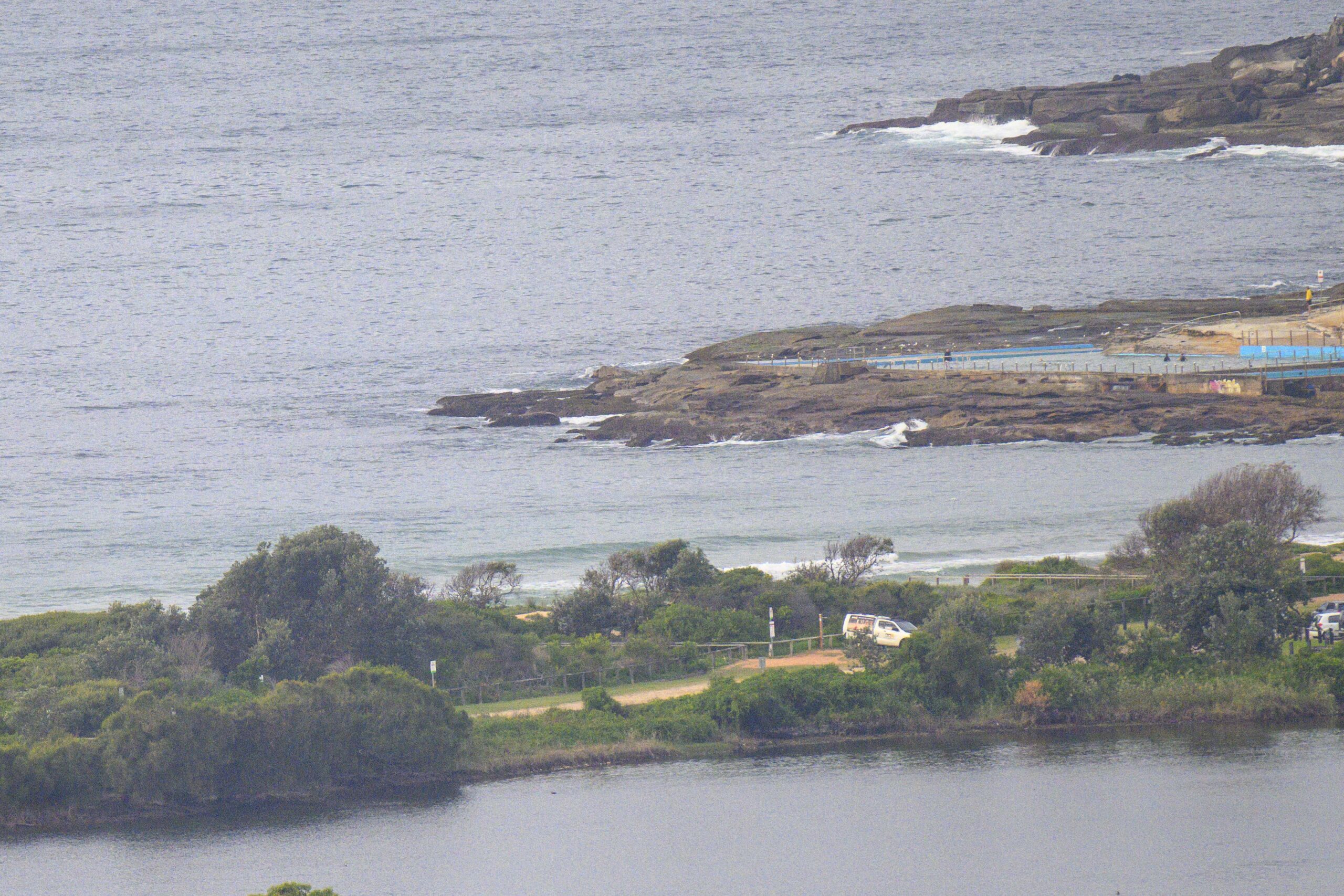
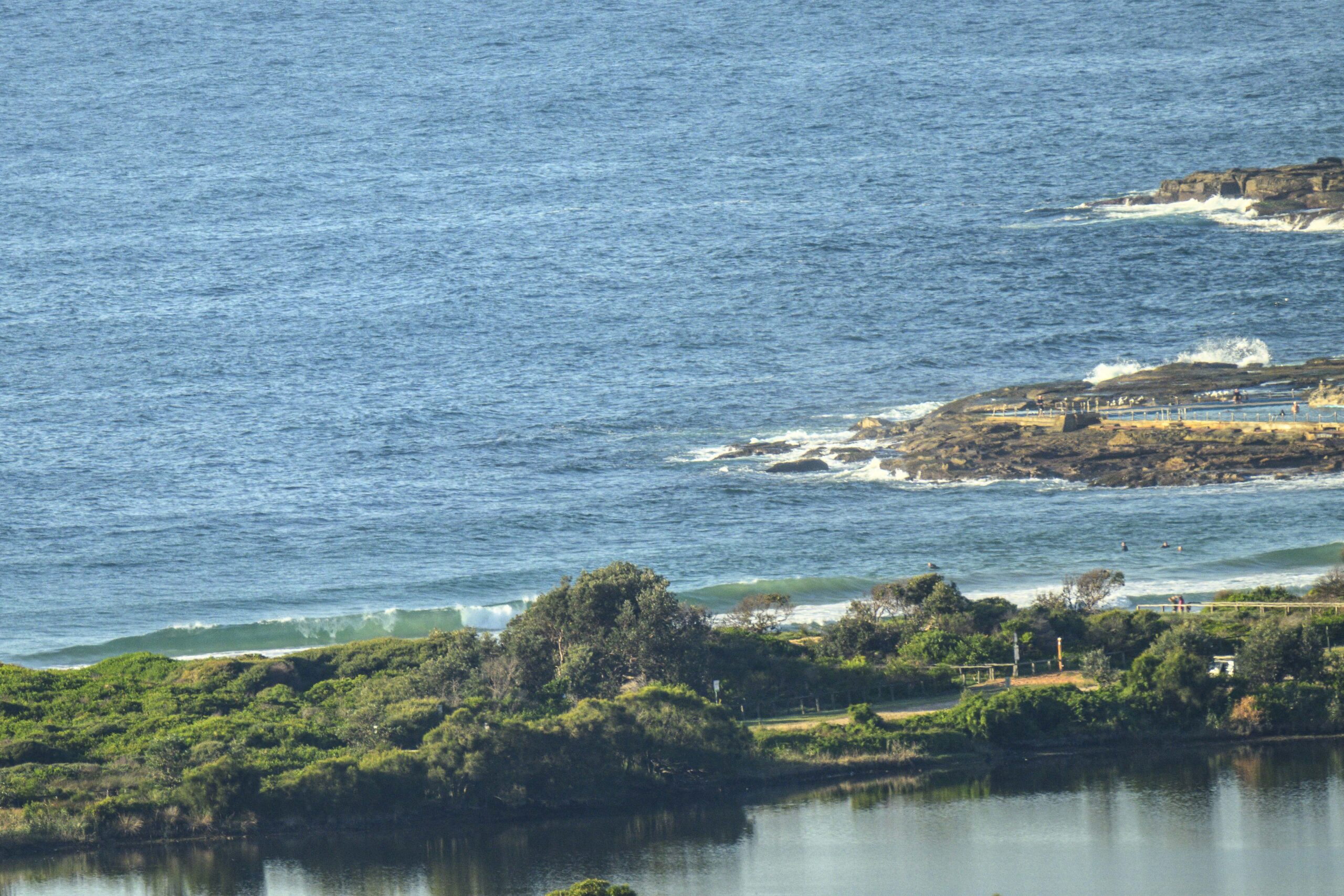
As of 0500 the MHL buoy off Sydney was recording a combo 1.5 metres of 13 second E swell and short period SE wind swell. As of 0830 the surface conditions were still fairly glassy as we the tide was dropping toward the low at 1145.
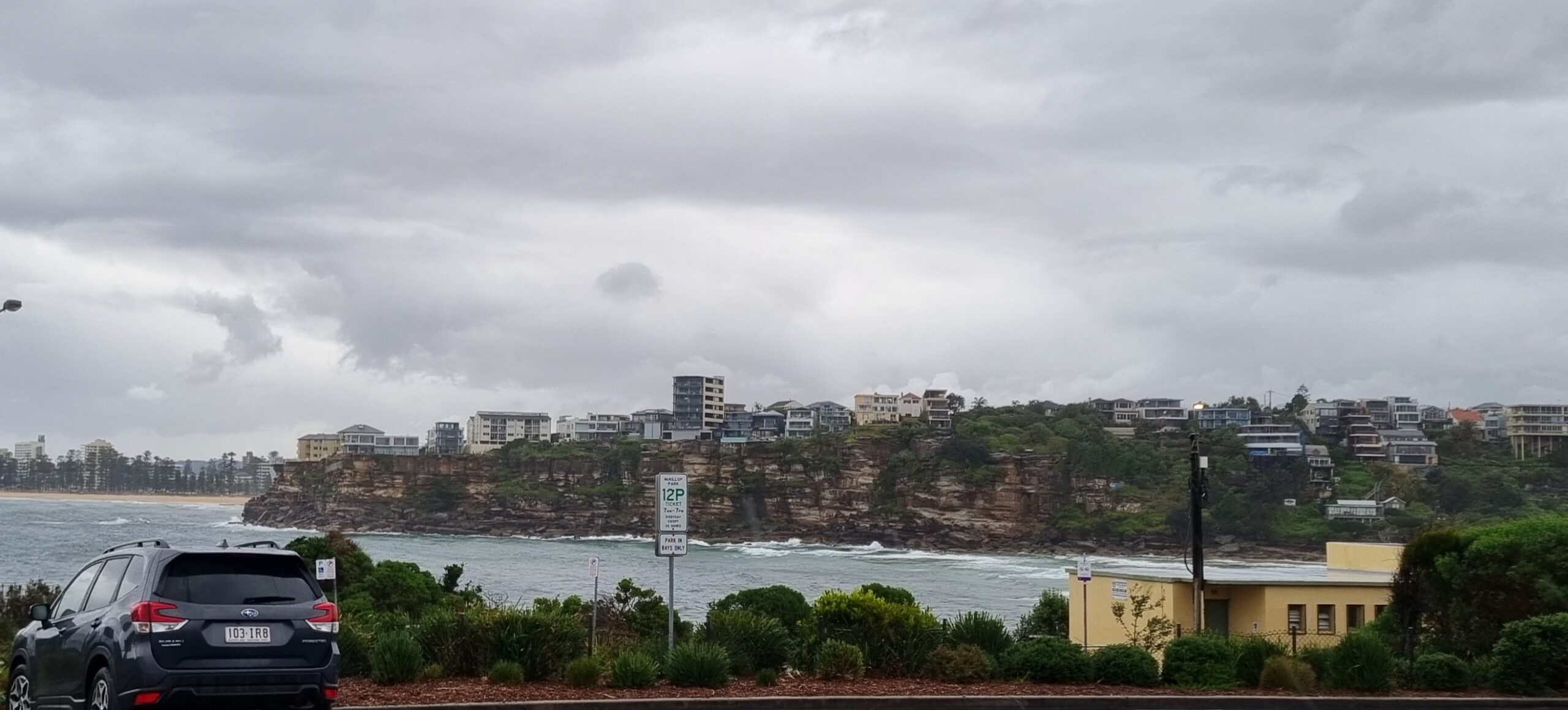
As the pictures show, set wave faces are in the chest to head high range on take-off. Sadly, there still aren’t any decent banks at Dee Why beach and this particular swell angle and period isn’t optimal for the point. That said, there were definitely waves to be had for the dozen or so in the water.
Wind is set to go NE later and get to 15-20 kts. And there’s an 80% chance of rain (ie grey skies).
Outlook is for waves of some sort or other across the rest of the work week at most places before the afternoon NEr kicks in. This morning’s long range modelling projects a general trend of knee to waist plus continuing for the next week or two, but no major swell events are in the cards apparently.
Have yourself a top old Wednesday everybody!


Weather Situation
A lingering trough off the south coast will continue to bring strong winds and thunderstorms to southern coastal parts today, weakening and contracting inland by tomorrow. A weakening high pressure system over the eastern Tasman Sea extends a ridge to the north coast. A second high pressure system currently south of Bass Strait is expected to move over the southern Tasman Sea today. This high will move slowly eastwards over the Tasman Sea over the next few days, with northeasterly winds strengthening along the New South Wales coast. A weak southerly change is expected to affect southern parts of the coast later this week.
Forecast for Wednesday until midnight
Winds
Northeasterly 15 to 20 knots.
Seas
Around 1 metre, increasing to 1 to 1.5 metres during the morning, then increasing to 1.5 to 2 metres by early evening.
Swell
Easterly 1 to 1.5 metres, decreasing to around 1 metre during the afternoon.
Weather
The chance of thunderstorms from the late morning until this evening.
Thursday 27 March
Winds
Northeasterly 15 to 20 knots, reaching up to 25 knots offshore in the late evening.
Seas
1.5 to 2 metres, decreasing below 1.5 metres during the morning, then increasing to 1.5 to 2 metres by early evening.
Swell
Easterly around 1 metre, increasing to 1 to 1.5 metres before dawn, then tending east to southeasterly 1 to 1.5 metres around dawn.
Weather
The chance of thunderstorms offshore.
Friday 28 March
Winds
Northeasterly 15 to 20 knots turning northerly 15 to 25 knots during the morning.
Seas
1 to 2 metres.
Swell
Easterly 1 to 1.5 metres.
Weather
The chance of thunderstorms offshore, extending throughout.


