Hello Friends,
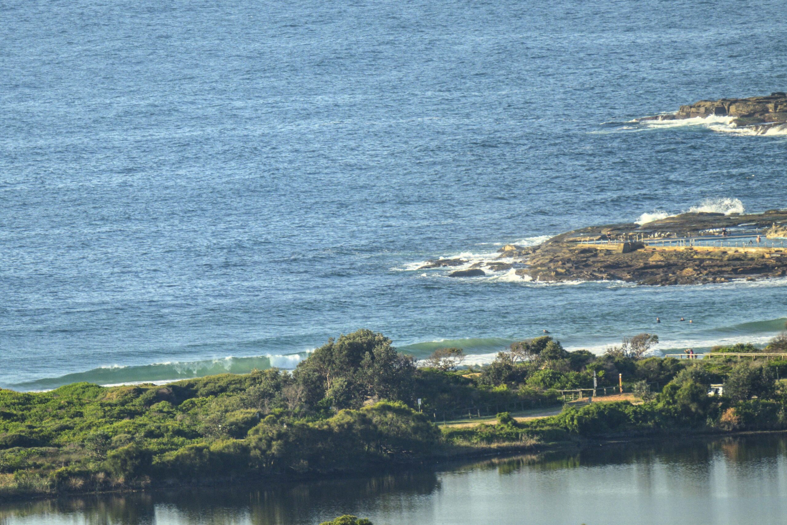
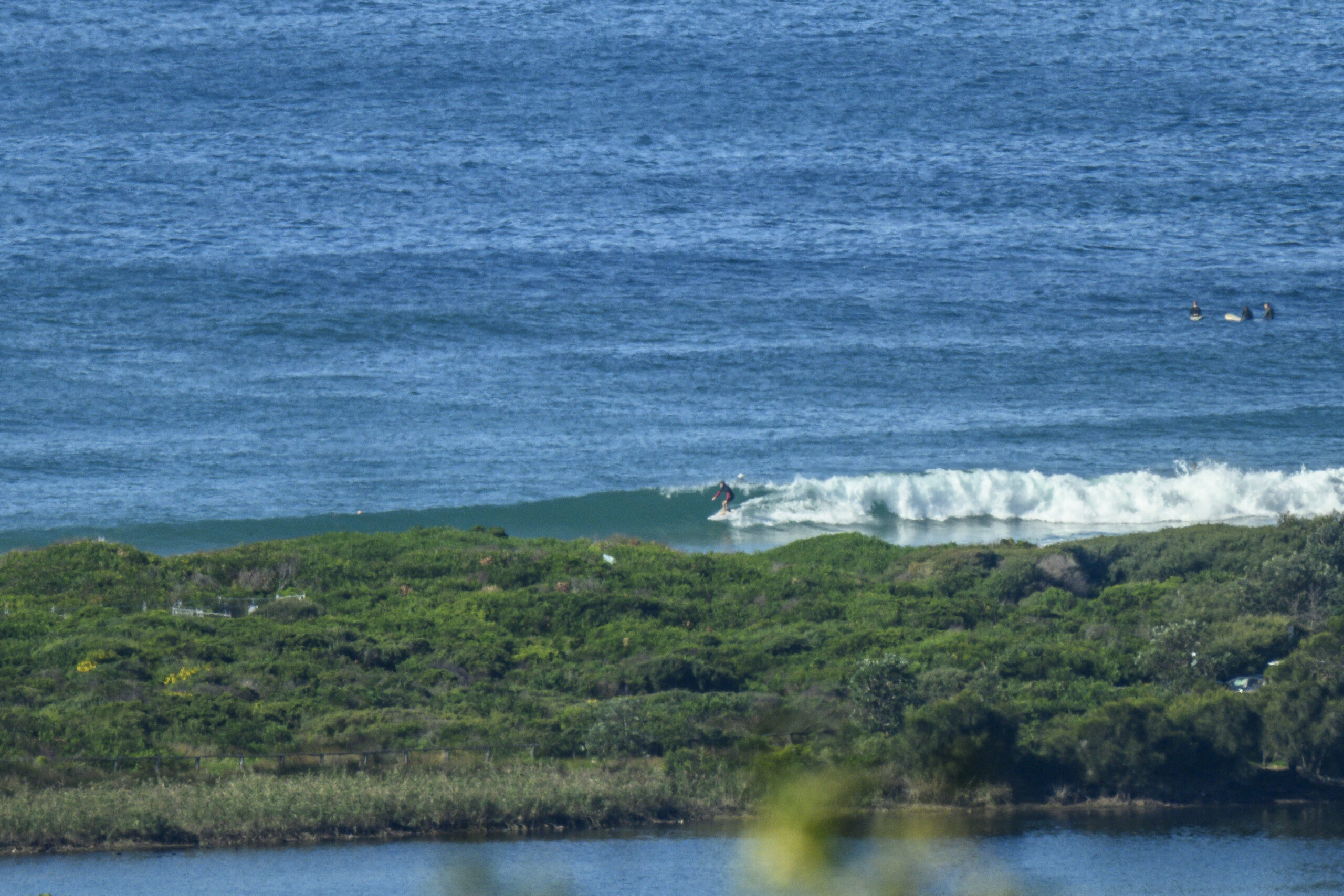
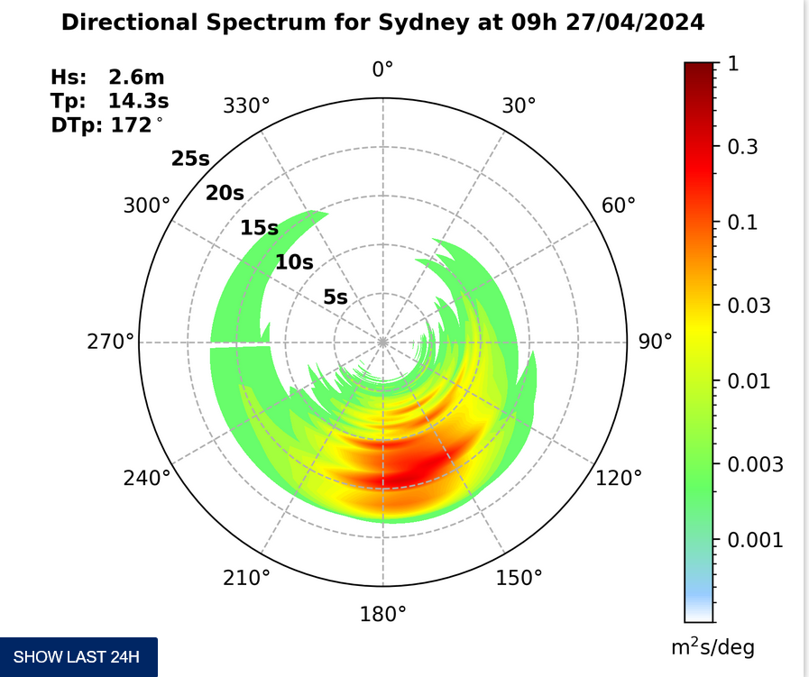
Very brisk this morning, but at least it was offshore and somewhat unexpectedly, there are waist to chest plus waves faces at magnet spots. Not amazing quality because the average period is only nudging 9 seconds, but they’re definitely rideable.
Swell is out of the south, so given the shortish period, you’ll find a real range of size from nearly flat to maybe shoulder on the biggest bombs – depending on where you go.
Outlook is for the wind to pick up as the day goes along and tomorrow it promises to be blowing hard from the S to SW. Swell energy could actually weaken a little if the models are right. And then the first half of the week ahead is not too promising looking. But, Friday is currently shaping to be a cracker. If the reality plays out the way the models say, we could see offshore, sunny and up to triple overhead faces on the bombs thanks to a 12-14 sec ESE pulse in the 3+ metre range. The pulse could start as early as midday Thrs and last through to Saturday… here’s hoping!
Have yourself a top old Saturday everybody, and don’t forget International Surfing Day on the 20th.


Tides: L @0910, H @1540
Weather Situation
A high pressure system over the Bight is extending a ridge to the southern Tasman Sea. This high is strengthening and moving gradually southeast, and is expected to be centred over Bass Strait by the end of the weekend. This pattern will direct a generally southerly airstream along much of the New south Wales coast through this period, with a trough developing offshore causing a surge in the southerlies from Saturday evening.
Forecast for Saturday until midnight
- Winds
- South to southwesterly 15 to 20 knots.
- Seas
- 1.5 to 2 metres, decreasing below 1.5 metres during the morning.
- Swell
- Easterly 1 to 1.5 metres, decreasing to around 1 metre around midday.
Sunday 8 June
Strong Wind Warning for Sunday for Sydney Coast
- Winds
- South to southwesterly 15 to 25 knots, reaching up to 30 knots in the afternoon.
- Seas
- 2 metres, increasing to 2 to 3 metres during the morning.
- Swell
- Easterly below 1 metre, tending southeasterly 1 to 2 metres in the early morning, then tending southerly 2 to 2.5 metres by early evening.
- Weather
- The chance of thunderstorms offshore.
Monday 9 June
- Winds
- South to southwesterly 10 to 15 knots shifting easterly during the morning then tending southeasterly 15 to 20 knots during the day.
- Seas
- Around 1 metre, increasing to 1 to 1.5 metres offshore during the afternoon or evening.
- Swell
- Southerly 1.5 to 2.5 metres, tending southeasterly below 1 metre during the evening.


