Hello Friends and Happy Father’s Day fellow Dads,
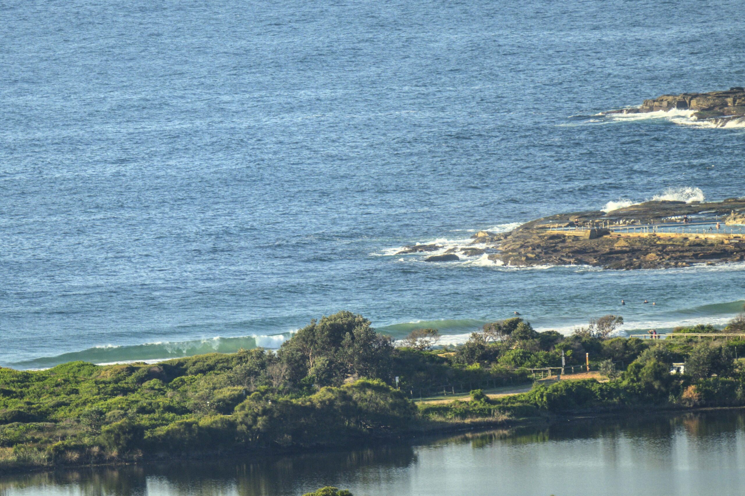
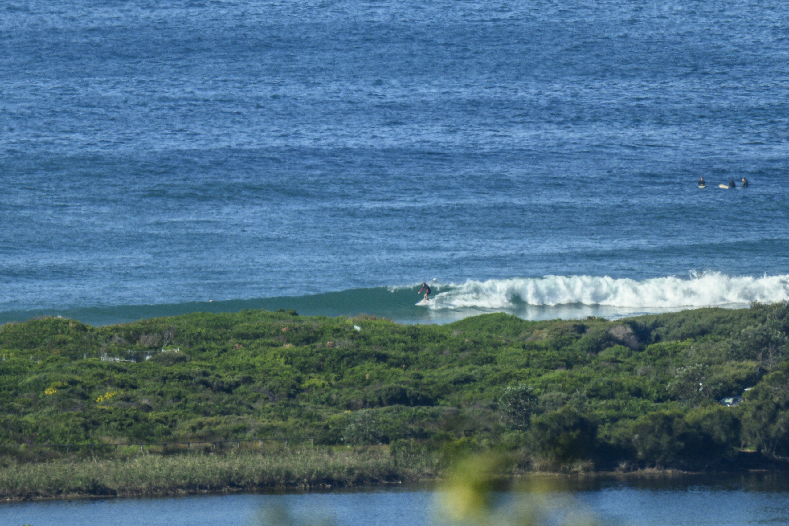
Swell has dropped quite a bit and there are still isolated showers about. But the wind was light early and high tide is behind us for the day. Sets at the point were in the waist to chest plus range and along the beach there seemed to be a few bigger ones, but it was looking pretty scrappy. And the water still looks dodgy to me although beachwatch says it’s all good.
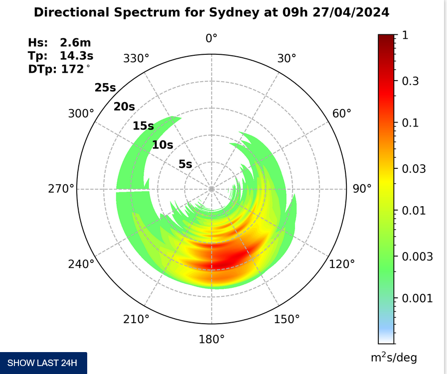
Energy levels seem likely to fade away today and next week is shaping up to be a string of rest days.
Have yourself a great Sunday!
Tide was high at 0620 and will be low at 1215


Weather Situation
A strengthening high pressure system off the southern New South Wales coast is maintaining onshore winds, which will turn more east to northeasterly over the next day or two as the high drifts further east. This high is forecast to remain the dominant feature in the region until the next cold front arrives mid-week, bringing a gusty west to southwesterly change.
Forecast for Sunday until midnight
- Winds
- Light and variable winds inshore at first, otherwise east to southeasterly about 10 knots, turning northeasterly in the evening.
- Seas
- Below 1 metre.
- Swell
- Southeasterly 1 to 1.5 metres.
Monday 8 September
- Winds
- Variable about 10 knots becoming northeasterly 15 to 20 knots in the afternoon.
- Seas
- Below 1 metre, increasing to 1 to 2 metres during the afternoon.
- Swell
- Southeasterly around 1 metre.
Tuesday 9 September
- Winds
- Northerly 20 to 25 knots.
- Seas
- 1.5 to 2.5 metres.
- Swell
- Easterly below 1 metre.
- Weather
- The chance of thunderstorms offshore in the evening.


