Hello Friends,
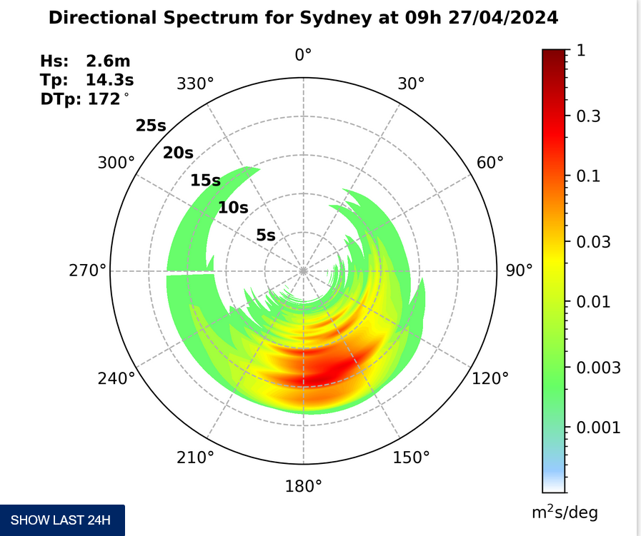
As of 0500 wind was out of the north to WNW along Sydney’s coast. The MHL buoy is still broken, so the nearest data is from way down at Batemans Bay where swell is showing at a touch under a metre at 10 seconds or so from the ENE. So that says to me that there might possibly be some little dribblers at NE magnet spots in light onshore conditions for the early. Unfortunately, tide’s high at 0910, so that may swamp a few of the better options – such as they are.
The NE’r kicks in hard later, so onshore conditions connoisseurs may possibly find the odd clean face in amongst the chop at their fave wind hole.
That’s it from your correspondent until Tuesday. Go well!
Forecast for Friday until midnight
Strong Wind Warning for Friday for Sydney Coast
- Winds
- Northerly 10 to 15 knots inshore at first, otherwise northeasterly 15 to 25 knots, reaching 30 knots in the late afternoon and evening.
- Seas
- 1 to 1.5 metres, increasing to 2 to 3 metres during the afternoon.
- Swell
- Easterly below 1 metre.
- Weather
- Partly cloudy. 30% chance of a shower.


