Hello Friends,
If only we had a little of Sydney’s swell energy here. Still, from the look of the live data, it’s not shaping to be too spectacularly interesting along the Northern Beaches. As of 0800 there was 2.8 metres of 12-sec SSE swell but unfortunately it’s NE’ly already, so options are going to be pretty limited. Wind is expected to ramp up into the 20kt range and to carry on in this vein through Wednesday. Today looks like being the peak of the size and then if the models have it right, the energy will decay away over the next 24-48 hours as it heads back to small once more.
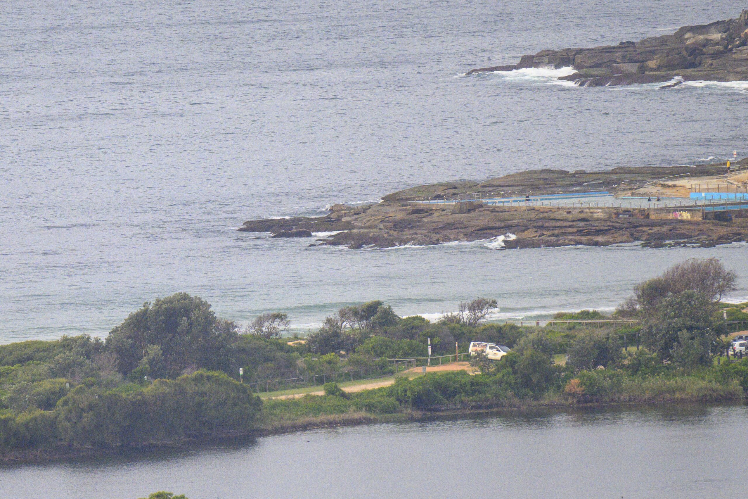
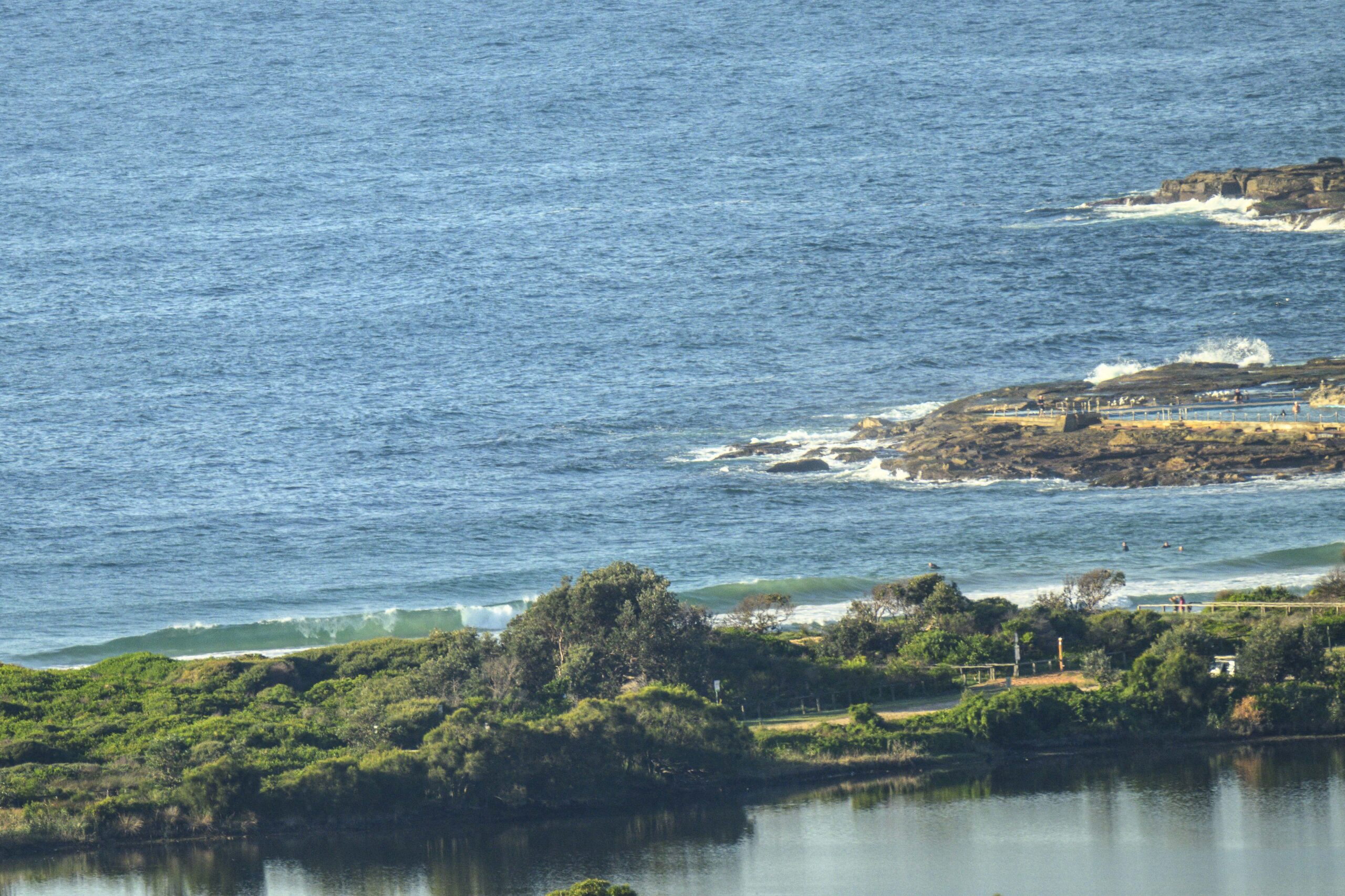
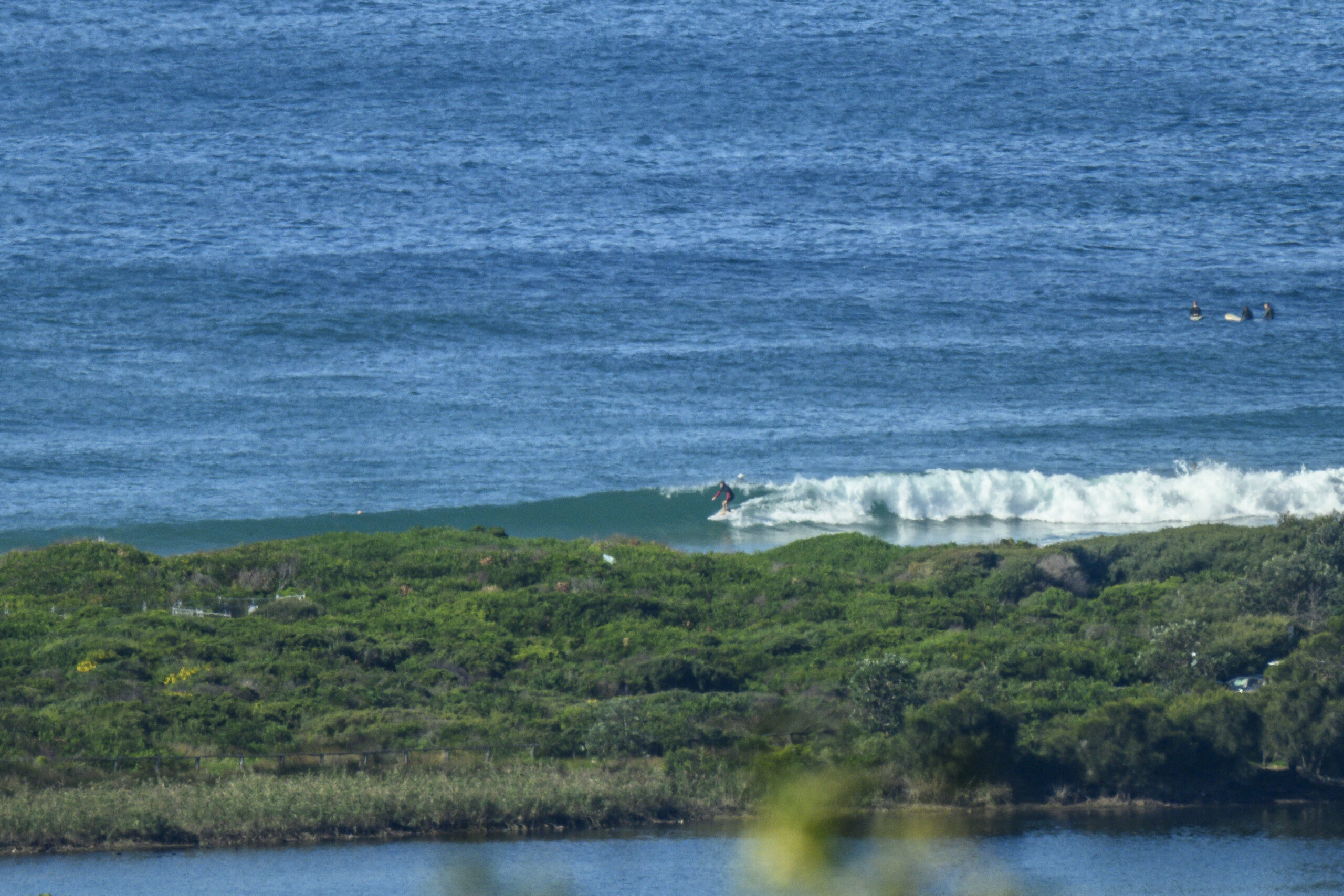
Although I don’t have much of a postcard for you today, I did get in the water with a couple of mates earlier. It was strictly longboard and SUP material – long but slow knee high lines and light sideshores. Always good to be in the water, so no complaints. Outlook for us, seems to be similar to Sydney, ie more tiny conditions for the next week or so.
Here’s a screen shot from the cam at Ventura’s California street.

Have yourself a top old day!
Weather Situation
A high pressure system is moving over the western Tasman Sea and southerly winds along New South Wales coast will turn northerly during Monday. The next southerly change is expected to develop on the south coast on Wednesday extending to the far north coast during Thursday.
Forecast for Monday until midnight
Winds
Easterly 10 to 15 knots, reaching up to 20 knots inshore in the evening. Winds turning northeasterly in the evening.
Seas
Below 1 metre, increasing to 1 to 1.5 metres by early evening.
Swell
Southerly 2 to 3 metres.
Weather
Partly cloudy. 20% chance of a shower in the morning.
Caution
Large and powerful surf conditions during the day are expected to be hazardous for coastal activities such as crossing bars by boat and rock fishing, particularly about south facing coasts.
Tuesday 4 November
Strong Wind Warning for Tuesday for Sydney Coast
Winds
Northeasterly 15 to 20 knots increasing to 20 to 25 knots in the evening. Winds reaching up to 30 knots in the late evening.
Seas
1 to 1.5 metres, increasing to 1.5 to 2.5 metres around midday.
Swell
Southerly 1.5 to 2 metres, decreasing to 1 to 1.5 metres during the morning.
Weather
Partly cloudy. 20% chance of a shower.
Wednesday 5 November
Winds
North to northeasterly 20 to 30 knots.
Seas
2 to 3 metres.
Swell
South to southeasterly around 1 metre.
Weather
Partly cloudy. 70% chance of showers. The chance of a thunderstorm in the afternoon and evening.
Please be aware
Wind gusts can be 40 percent stronger than the averages given here, and maximum waves may be up to twice the height.
Nearby Coastal WatersThis forecast is also available via scheduled broadcasts on marine radio.
Latest Coastal Observations
Tide Predictions


