Hello Friends,
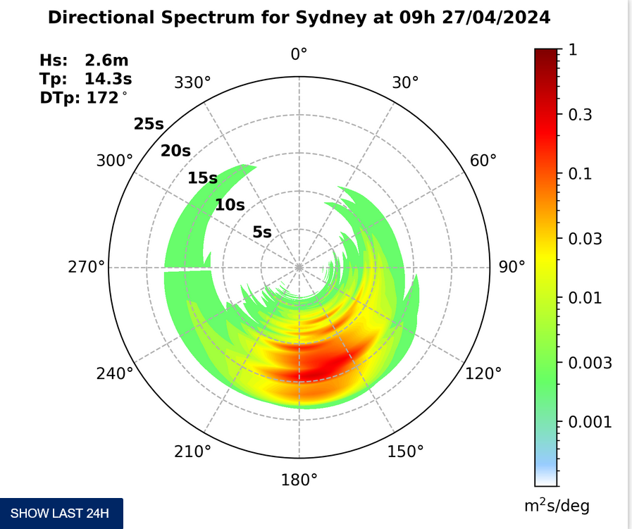
According to the MHL buoy off Sydney there wasn’t much energy out at sea as of 0200. It was detecting 1.4 metres of 7-sec period NE wind bump. I’d be surprised if there’s really much of anything for the early sesh. Plus, the high tide is at 0735. Smallness and fatness in other words.
As of 0430 the wind was a light N-NE, but once the day gets going, it will too and as a consequence the Bureau has a strong wind warning posted for 20-30 kts of NE later. A south change should rattle through late afternoon/early evening and that’ll swing the wind around for the next 12-18 hours. And then it’s supposed to go from southerly to easterly. Lovely.
From the shape of the models it doesn’t appear that Sydney’ll be much good until early next week when there could be some hope for south wind protected zones. If the super computers have it right, there could be blasting southerlies for the front half of next week with maybe some better quality options around Thursday-Friday… maybe… possibly… 🙂
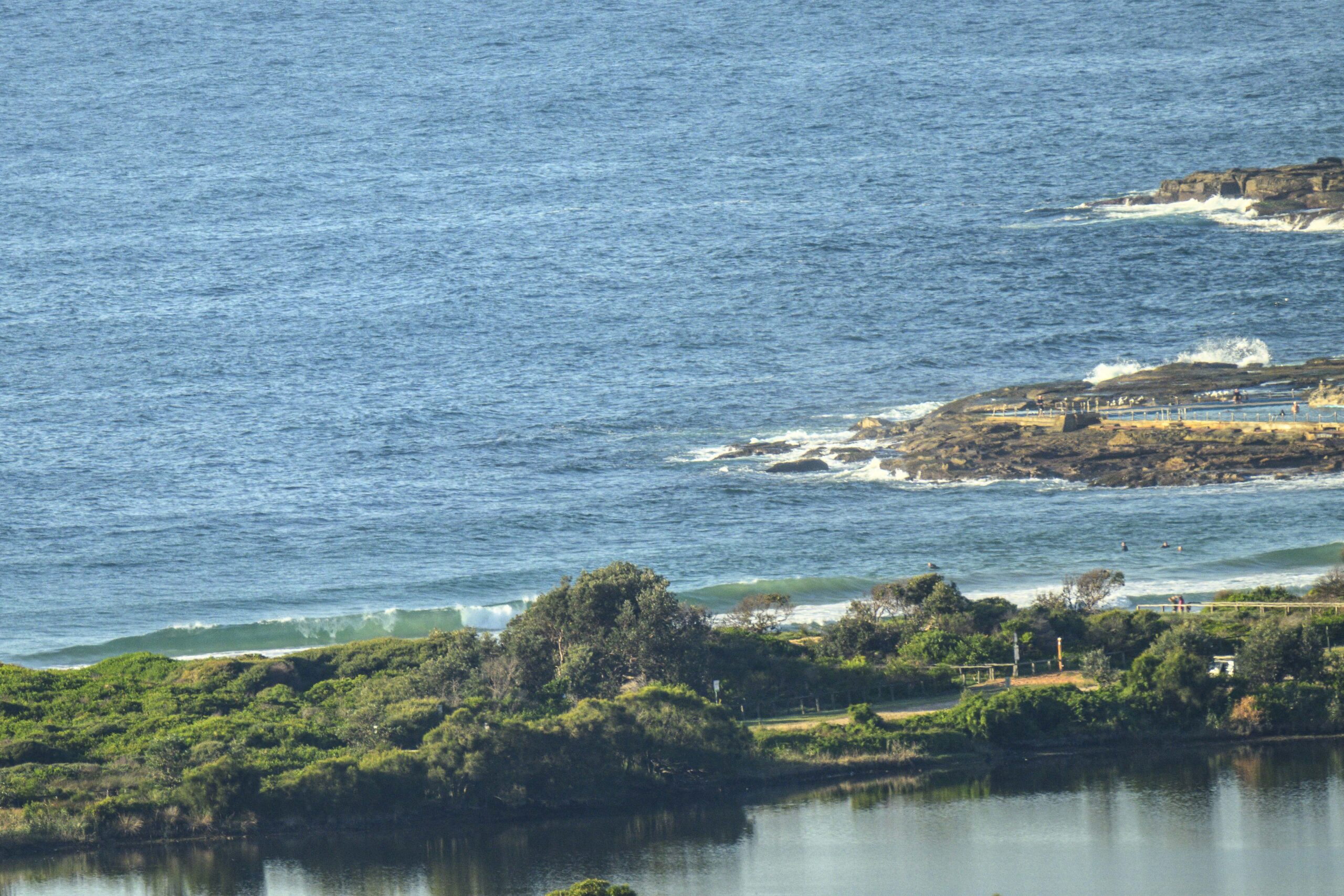
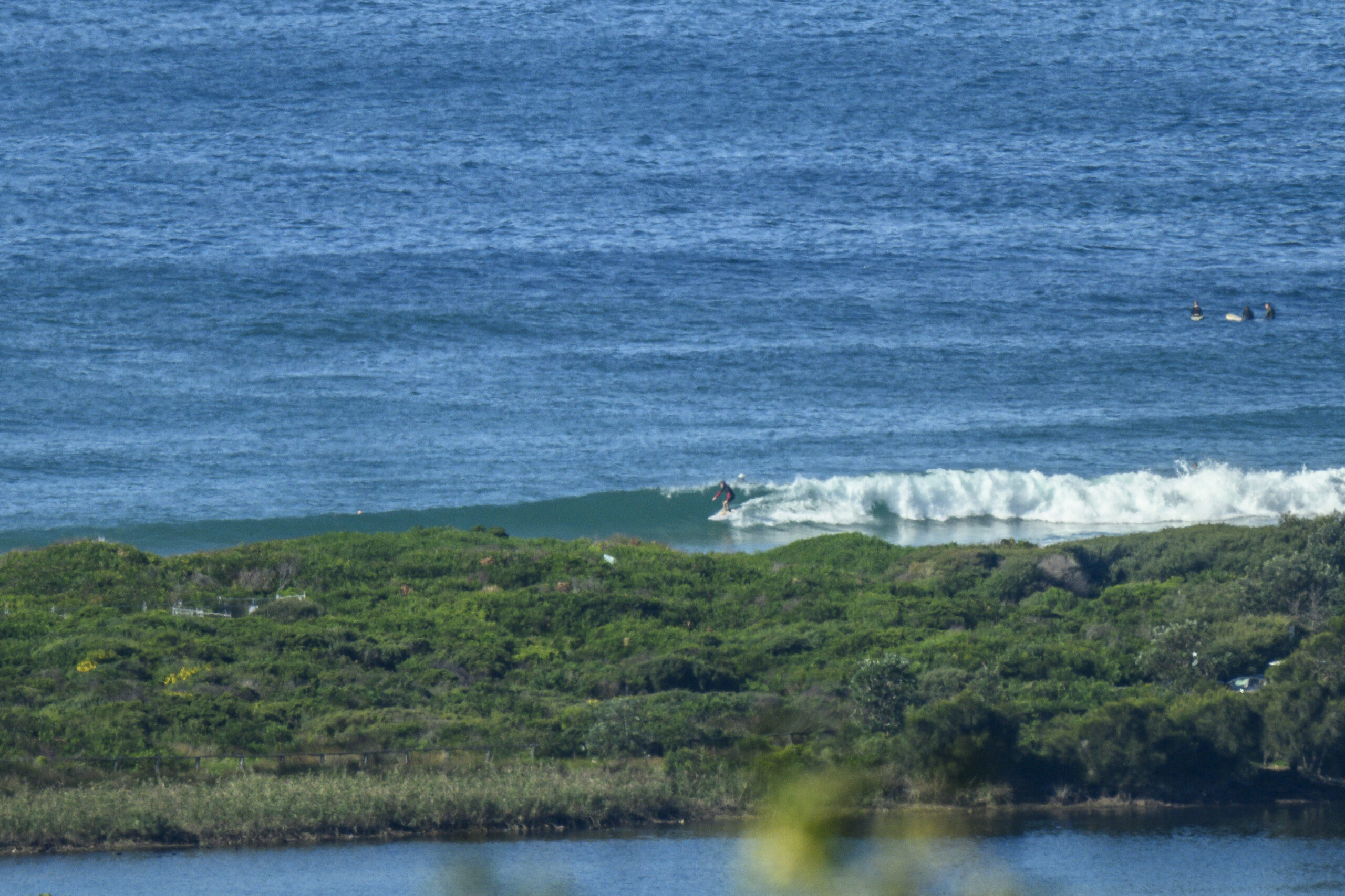
Dire flatness prevails here in southern California too. Your postcard today comes from a surfcam at Salt Creek in Orange County (about 3-4 hours south of Santa Barbara).
Have an excellent day!

Weather Situation
A high pressure system over the western Tasman Sea extends a ridge towards the New South Wales coast and is directing fresh to strong northeasterly winds over most waters as a low pressure trough moves into western New South Wales. This trough will move across to the east today, maintaining northeasterly winds ahead of a gusty southerly change which makes it to southern and central waters by the end of the day. The southerly will then move to the northern NSW coast on Thursday as another high pressure ridge develops over the southern Tasman Sea. Northeasterly winds will again become established along most of the coast by late Saturday ahead of the next change on Sunday.
Forecast for Wednesday until midnight
Strong Wind Warning for Wednesday for Sydney Coast
- Winds
- North to northeasterly 20 to 25 knots, reaching up to 30 knots during the afternoon and evening. Winds shifting south to southeasterly 20 to 30 knots in the late evening.
- Seas
- 1.5 to 2.5 metres.
- Swell
- Southerly below 1 metre.
- Weather
- Partly cloudy. 80% chance of showers. The chance of a squally thunderstorm during this afternoon and evening.
Thursday 6 November
- Winds
- Southerly 15 to 25 knots turning easterly 15 to 20 knots in the late afternoon.
- Seas
- 1.5 to 2.5 metres, decreasing below 1 metre during the morning.
- Swell
- Northeasterly 1.5 to 2.5 metres, decreasing to 1 to 1.5 metres during the morning.
- Weather
- Cloudy. 40% chance of showers in the morning and early afternoon.
Friday 7 November
- Winds
- Variable about 10 knots becoming east to northeasterly 15 to 20 knots during the day.
- Seas
- Below 1 metre, increasing to 1 to 1.5 metres during the afternoon.
- Swell
- Southerly 1 to 1.5 metres, decreasing to around 1 metre during the morning.
- Weather
- Partly cloudy.


