Hello Friends,
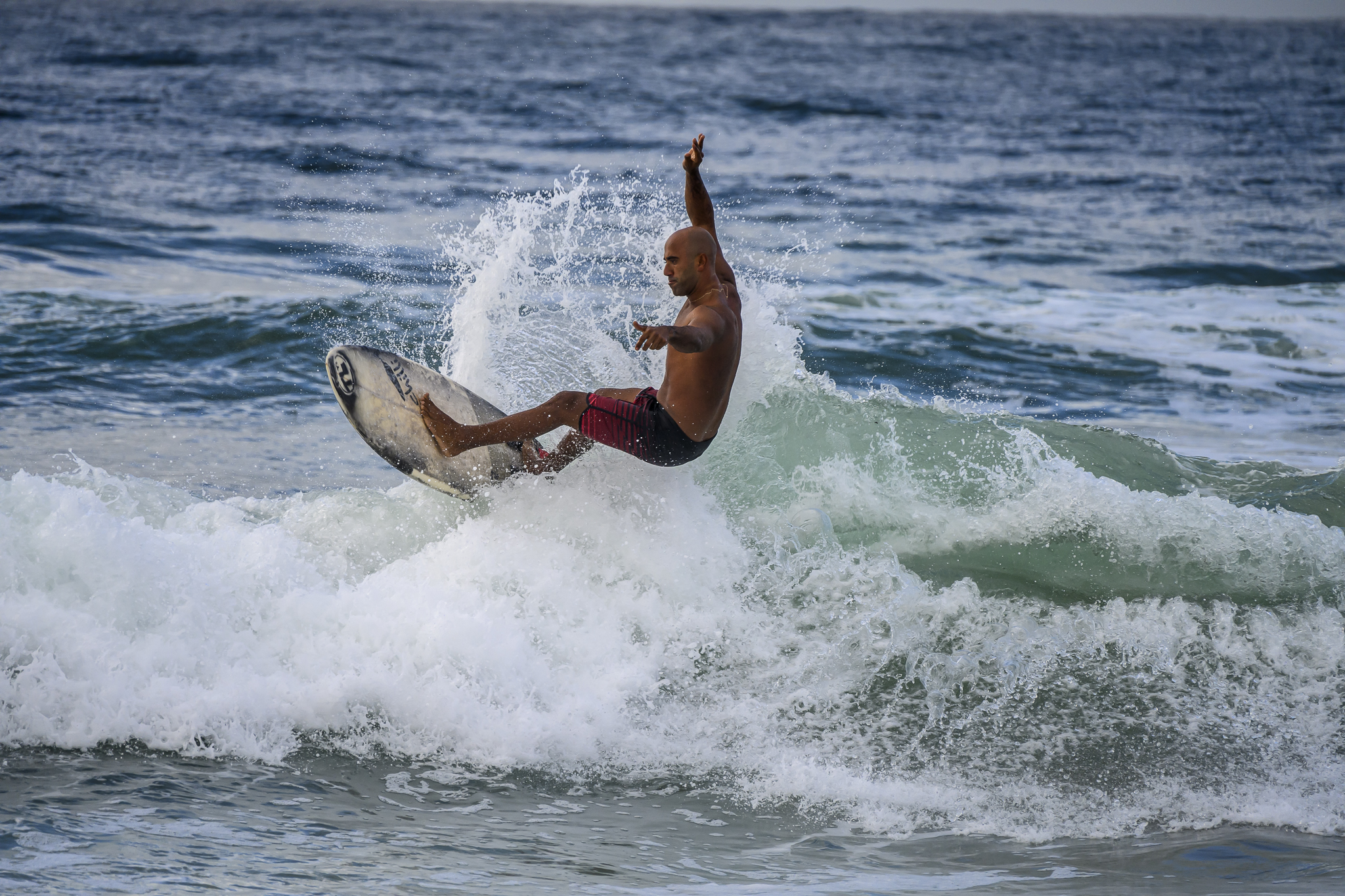
Did you find anything to surf yesterday? Go back there again and it might be a tiny bit better. Swell hasn’t exactly come up dramatically but you might get something waist high at just the right spot while the tide’s still lowish and coming in.
The MHL buoy for Sydney is still broken, but elsewhere along the NSW coast there’s nothing above the metre mark at 7-8 seconds and I would assume that applies to us as well.
Wind is light from the north early, but will be ramping up into a standard issue 15-25kt NE by this afternoon. Tomorrow looks like being a rinse and repeat with the energy level maybe notching up another few cm’s.
Water’s a lovely 22C .
Have a great Thursday one and all!
Weather Situation
A slow-moving high pressure system over the Tasman Sea extends a ridge towards the Queensland coast, directing generally east to northeasterly winds over New South Wales waters. Winds will increase in most areas Thursday as a trough approaches the state’s western border. This trough is expected to bring a southerly change to the southern coast during Friday.
Forecast for Thursday until midnight
Strong Wind Warning for Thursday for Sydney Coast
- Winds
- Northerly 10 to 15 knots turning northeasterly 15 to 25 knots in the late morning. Winds reaching up to 30 knots in the evening.
- Seas
- 1 to 1.5 metres, increasing to 2 to 3 metres around midday.
- Swell
- Easterly around 1 metre.
- Weather
- Mostly sunny.
Friday 9 January
- Winds
- North to northeasterly 20 to 30 knots.
- Seas
- 2 to 3 metres.
- Swell
- Easterly around 1 metre.
- Weather
- Mostly sunny. 20% chance of a shower. The chance of a thunderstorm in the afternoon and early evening.
Saturday 10 January
- Winds
- Northeasterly 20 to 30 knots.
- Seas
- 2 to 3 metres.
- Swell
- Easterly around 1 metre.
- Weather
- Partly cloudy. 40% chance of showers.