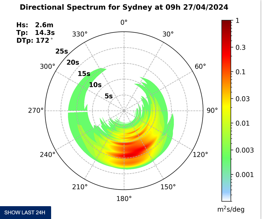
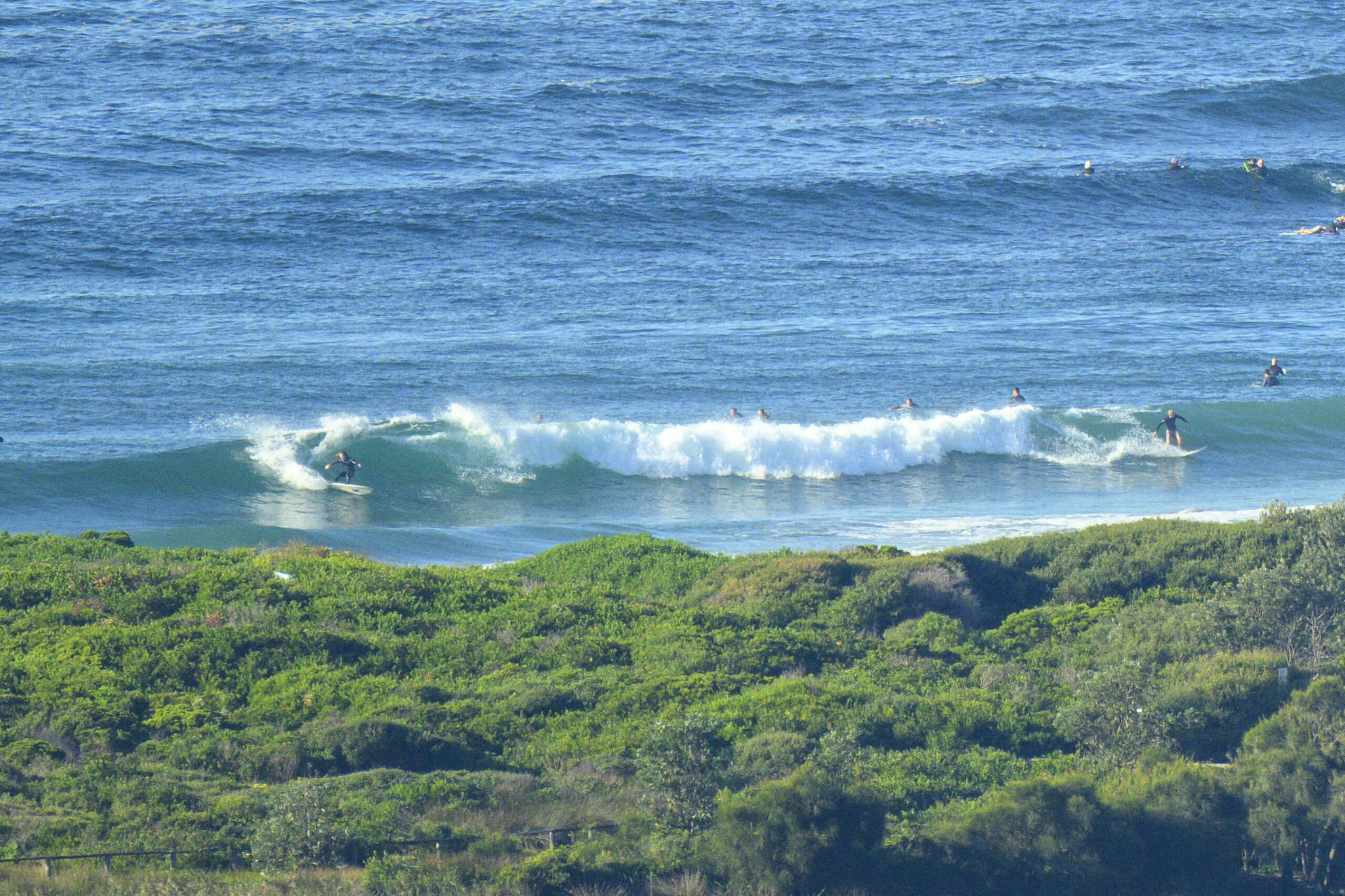
Surf forecast issued Thursday 8 January 2015: Eight day outlook for Sydney:
About 5 more days of Noreasters forecast (and NE windswell) so you’ll just have to look hard, be selective with tides and not too selective with wind, be patient, chill out, go for a swim, enjoy the nice weather and water. It’s summertime …
Ideal conditions for this Sunday’s Avalon Beach Surf Swim. Entry details and review here…
http://www.oceanswims.com.au/swims/calendar/eventdetail/366/54/avalon-nsw-e.html
Surf forecast:
Friday: in the 1-2 metre range North East (when the tide suits the break)
Saturday: up a little in the 1-2 metre range North East (ditto)
Sunday: down a little in the 1-2 metre range North East
Monday: 1-2 metre range East
Tuesday: 1-2 metre range North East
Wednesday: S change expected, but don’t expect a big increase in size – about 1 metre at dead South places, and with wind
Thursday: 1-2 metre range at dead South spots
Friday: down in the 1-2 metre range dead South
Water temp is around 22…very pleasant at the moment on hot days.
Tide tables here…
http://www.rms.nsw.gov.au/documents/maritime/usingwaterways/tides-weather/tide-tables-2014-15.pdf
Weather from the Bureau:
Sydney Forecast
View the current warnings for New South Wales
Forecast issued at 4:22 pm EDT on Thursday 8 January 2015.
Forecast for the rest of Thursday
- Summary

- Clear. Wind easing.
- Chance of any rain: 0%

Sydney area
Mostly clear. Winds northeasterly 25 to 35 km/h, reaching 40 to 50 km/h near the coast, decreasing to 20 to 30 km/h in the late evening.
Friday 9 January
- Summary

- Min 22
- Max 31
- Possible afternoon shower.
- Chance of any rain: 30%

- Rainfall amount: 0 to 1 mm
Sydney area
Mostly sunny morning. Medium (50%) chance of showers in the afternoon and early evening. The chance of thunderstorms in the afternoon and early evening, more likely in the west. Winds northeasterly 15 to 25 km/h becoming light before dawn then becoming northeasterly 25 to 40 km/h in the early afternoon.
Fire Danger – High
UV Alert from 8:50 am to 5:20 pm, UV Index predicted to reach 13 [Extreme]
Around Sydney
| Precis Icon | Location | Min | Max |
|---|---|---|---|
| Sydney | 22 | 31 | |
| Penrith | 21 | 36 | |
| Liverpool | 21 | 35 | |
| Terrey Hills | 20 | 31 | |
| Richmond | 21 | 36 | |
| Parramatta | 20 | 34 | |
| Campbelltown | 19 | 35 | |
| Bondi | 23 | 26 |
Marketing
Saturday 10 January
- Summary

- Min 23
- Max 30
- Shower or two. Possible storm.
Sydney area
Partly cloudy. Medium (50%) chance of showers in the afternoon and evening. The chance of a thunderstorm in the afternoon and evening. Winds northeasterly 15 to 25 km/h becoming light in the evening then becoming northeasterly 15 to 20 km/h in the late evening.
Sunday 11 January
- Summary

- Min 23
- Max 27
- Showers.
Sydney area
Cloudy. High (80%) chance of showers. Winds northeasterly 15 to 20 km/h becoming light during the morning.
Monday 12 January
- Summary

- Min 21
- Max 27
- Shower or two.
Sydney area
Cloudy. Medium (60%) chance of showers, most likely in the morning and afternoon. Winds north to northeasterly 15 to 20 km/h becoming light during the morning then becoming northeasterly 15 to 25 km/h during the afternoon.
Tuesday 13 January
- Summary

- Min 22
- Max 31
- Possible late shower.
Sydney area
Partly cloudy. Medium (40%) chance of showers later in the day. Winds northeasterly 15 to 25 km/h shifting west to southwesterly 15 to 20 km/h during the day.
Wednesday 14 January
- Summary

- Min 22
- Max 28
- Possible shower.
Sydney area
Partly cloudy. Medium (40%) chance of showers, most likely later in the day. Winds southwesterly 15 to 25 km/h turning southeasterly during the morning.
Thursday 15 January
- Summary

- Min 20
- Max 24
- Possible shower.
Sydney area
Cloudy. Medium (50%) chance of showers. Light winds becoming south to southeasterly 25 to 35 km/h during the morning.


