Hello Friends,
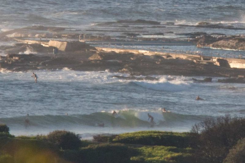
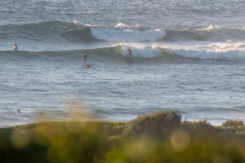
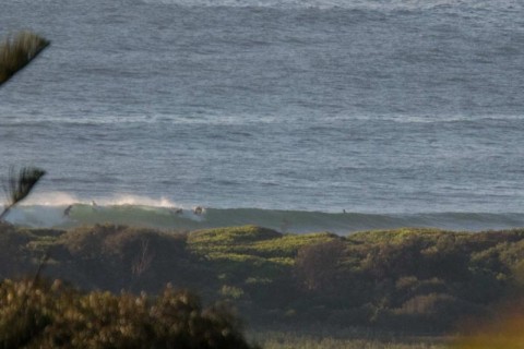
Swell pulsed up yesterday and this morning sees set wave faces at Dee Why point in the waist to chest range. The beachy is slightly bigger on average and it looked as though the setty nature of the swell yesterday evening continues.
The MHL buoy was picking up a mix of 12-sec NE and 13-sec south to SSE swell in the 1.5 metre range at 0500. Tide was coming into the high at 1015 and we’re set for sunny and very warm day with wind starting out northerly and going NE 15-25 kts later.
The Bureau is expecting the swell to fade as the day goes along, then to come back up a little tomorrow. The various swell modellers are saying much the same thing. Longer term the outlook is currently looking good for another peak in energy to show up on Saturday. At this stage it looks as though wind will be strongly S-SE from Friday through Saturday afternoon. Swell energy should stay comfortably into the surfable range right through to next week, and if current predictions are right, Sunday could see lighter winds and chest-ish at exposed spots.
Have yourself a top old Wednesday and check back later because I’m planning to take a look around later and could have some more pics etc.

Weather Situation
A slow-moving high pressure system over the Tasman Sea extends a ridge to the New South Wales north coast directing southeast to northeasterly winds along the New South Wales coast. A southerly change is expected through southern and central coastal districts on Thursday as the next cold front and associated low pressure trough crosses the state. South to southeasterly winds will extend along the entire New South Wales coast by Saturday.
Forecast for Wednesday until midnight
Strong Wind Warning for Wednesday for Sydney Coast
Winds
Northerly 20 to 25 knots turning northeasterly in the early afternoon. Winds reaching up to 30 knots in the late evening.
Seas
2 to 2.5 metres.
Swell
Easterly 1.5 metres, decreasing to around 1 metre by early evening.
Weather
Sunny.
Thursday 25 February
Strong Wind Warning for Thursday for Sydney Coast
Winds
North to northeasterly 15 to 25 knots, reaching up to 30 knots early in the morning.
Seas
1.5 to 2.5 metres.
Swell
Easterly around 1 metre, increasing to 1 to 1.5 metres during the morning, then tending east to northeasterly around 1 metre by early evening.
Weather
Sunny.
Friday 26 February
Winds
Northerly 15 to 20 knots shifting southerly 20 to 30 knots during the morning then tending southeasterly 15 to 20 knots during the evening.
Seas
1.5 to 2.5 metres.
1st Swell
Northeasterly 1 to 2 metres, tending easterly 1.5 metres during the evening.
2nd Swell
Southerly around 1 metre, increasing to 1 to 1.5 metres during the afternoon.
Weather
Cloudy. 30% chance of a shower.


