
Hello Friends,
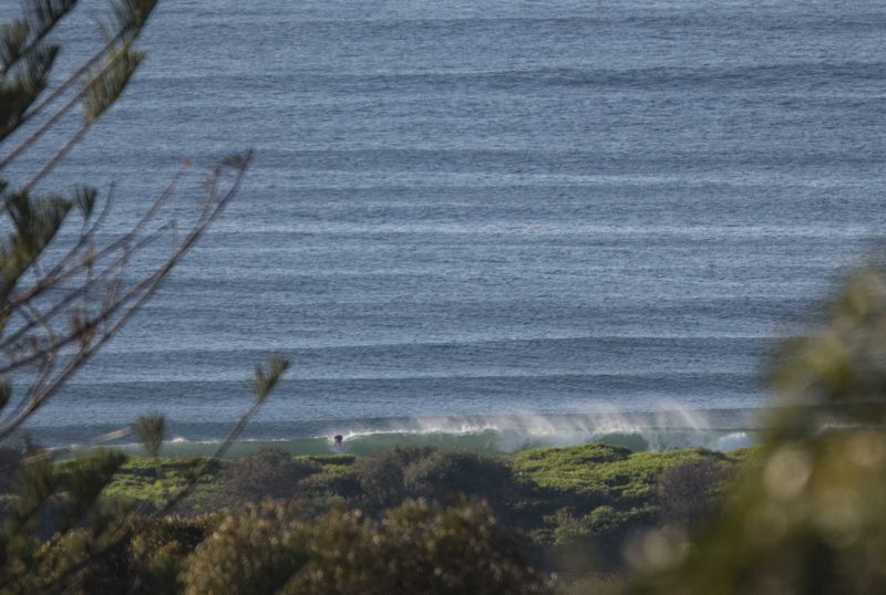
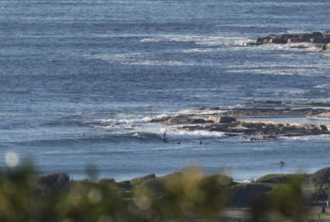
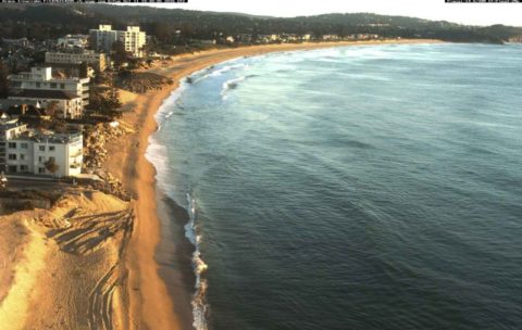
Beautiful morning with light offshore wind with a lined up 1 metre 8-sec south swell making itself felt at the point and up the beach. Size looked to be in the knee to waist plus range. Tide was high at 0550 and is now dropping to the low at 1140. Weather should be mostly sunny and ought to get to around 22 degrees.
The short period and straight south direction mean that you won’t find anything in south corners.
According to the models yesterday we weren’t supposed to have anything in the way of waves this morning, so good to see they can sometimes get it wrong.
Tomorrow’s outlook is for the wind to go around to the south 20-30 kts and for the south swell to kick up into the 2+ metre range. So not the best outlook, but Friday is still shaping to be reasonably hopeful with a combo of variable winds and a 10-11 sec period.
Have a top old Wednesday everyone!


Weather Situation
A strong high pressure system is slowly moving eastward across the Bight as a cold front approaches from the southwest. Winds will briefly shift northeasterly over most of the coast today ahead of the front, which will bring a strong south to southwesterly change up the coast late Wednesday and early Thursday. Winds will ease on Friday in the wake of the front, then shift north to northeasterly as the high moves over the Tasman Sea and another front approaches from the west.
Forecast for Wednesday until midnight
Winds
Westerly 10 to 15 knots becoming variable about 10 knots in the early afternoon then becoming southwesterly 10 to 20 knots in the late evening.
Seas
Around 1 metre, decreasing below 1 metre during the afternoon.
Swell
Southerly 1 to 1.5 metres, increasing to 1.5 to 2 metres offshore.
Weather
Mostly sunny. 50% chance of showers in the evening. The chance of a thunderstorm offshore later tonight.
Thursday 13 October
Strong Wind Warning for Thursday for Sydney Coast
Winds
Southwesterly 15 to 20 knots becoming southerly 20 to 30 knots before dawn then decreasing to 15 to 25 knots in the early afternoon.
Seas
Below 1 metre, increasing to 2 to 3 metres during the morning.
Swell
Southerly 1.5 metres, increasing to 1.5 to 2.5 metres during the morning.
Weather
Partly cloudy. 60% chance of showers. The chance of a thunderstorm in the early morning.
Friday 14 October
Winds
Southerly 10 to 15 knots becoming variable about 10 knots during the day then becoming northeasterly 10 to 15 knots during the afternoon.
Seas
1 to 1.5 metres, decreasing below 1 metre during the morning.
Swell
Southerly 2 to 3 metres, decreasing to 1.5 to 2 metres during the morning.
Weather
Partly cloudy. 20% chance of a shower.


