Hello Friends,
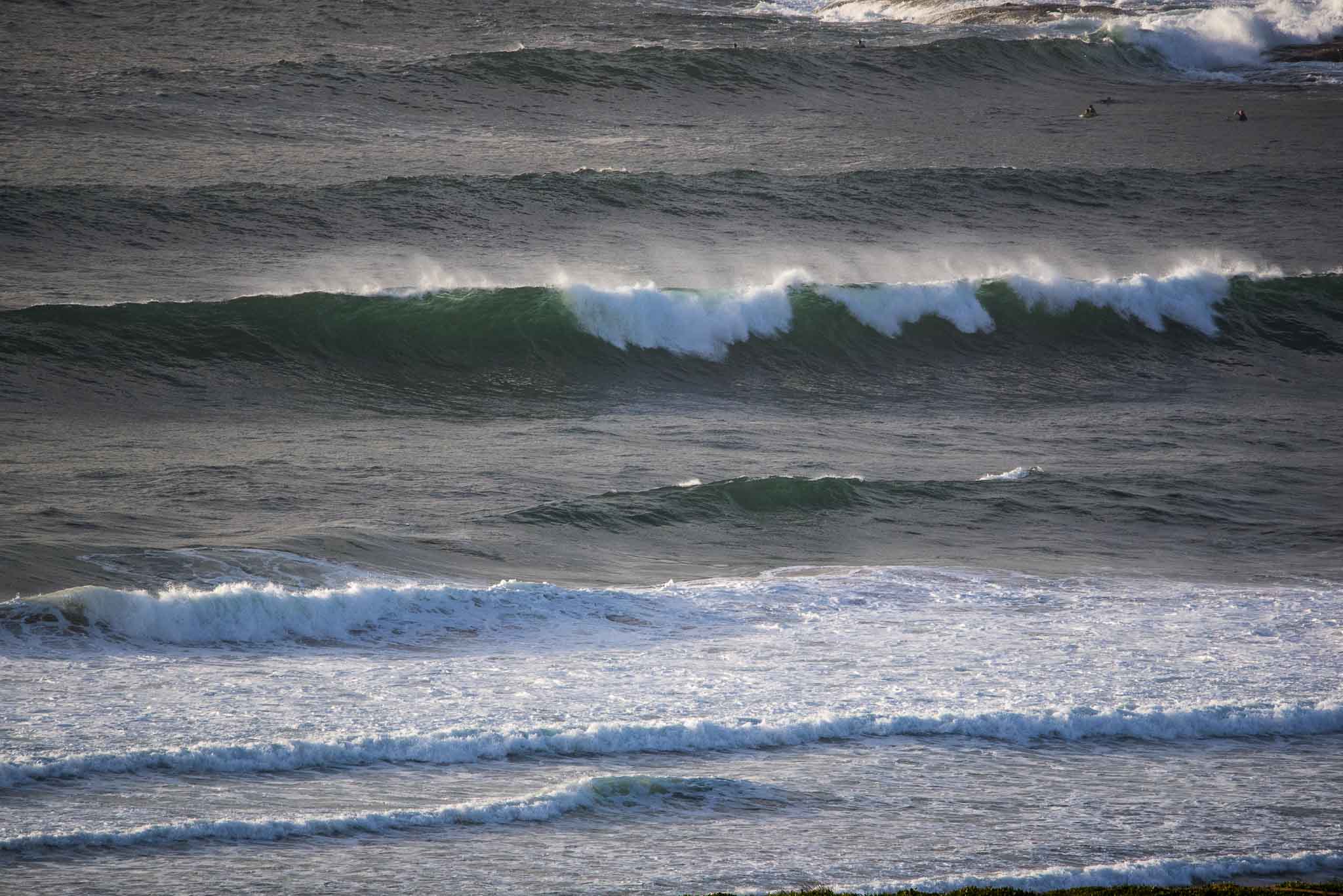
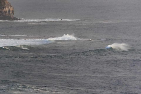
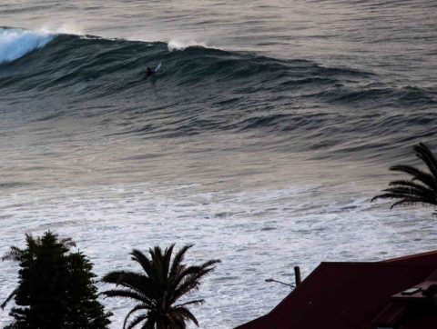
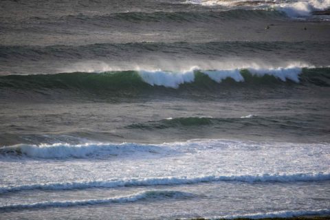
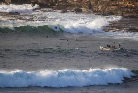
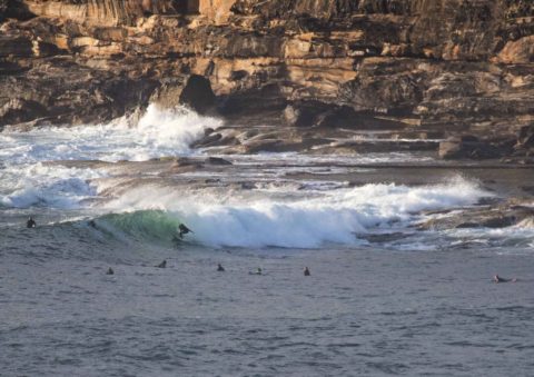
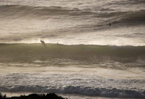
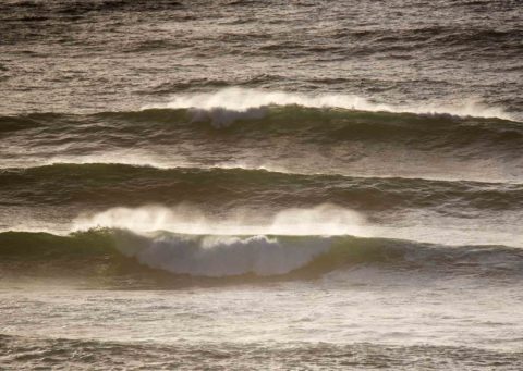
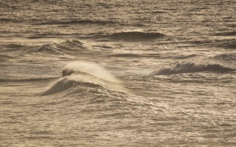
As expected, the swell’s jumped overnight and at 0630 when I checked it for the first time, it was looking raw but plausible at some spots. The MHL 0400 data was showing a 3 metre, 10-11 sec SSE swell out at sea. There might have been a few bombs with faces into that range at the Longy bombies but at the point and elsewhere it was more like 2 metres on faces. There were a few bods having a go at south Narrabeen and Collaroy although neither were particularly attractive. It was heaving and messy at Long Reef and just a bit too raw from there south to Kiddies. The point was functioning and not yet as busy as it’s likely to be later.
Wind was light WSW and will go around to the NE later, becoming 15-20 kts by early afternoon. Should be sunny and 24 today too. Next tide is a low at 1150, with the high following along at 1750.
So, the plan is to hit it now, rather than later.
Looking at the models, I think the Goat’s call continues to be right on. Swell should fade later and overnight with tomorrow morning being distinctly smaller than right now, still, with any luck the wind should be not too annoying (it’ll go NE) and you’ll be able to score something amusing at a south swell spot.
The waves should be sort of surfable early in the week, small to flat mid-week and then improving a touch (we hope) Thursday and Friday ahead of a weekend bump upward.
Have yourself a top old Saturday everyone!
Weather Situation
A high pressure system is moving towards Tasmania extending a ridge to the northeast and directing southeast to northeasterly winds along the New South Wales coast. Winds will turn north to northeasterly during Monday as the high moves over the Tasman Sea and continue to move east maintaining the ridge to the northwest.
Forecast for Saturday until midnight
Winds
Southerly 10 to 15 knots becoming variable about 10 knots in the morning then becoming east to northeasterly 15 to 20 knots in the early afternoon.
Seas
Around 1 metre, decreasing below 1 metre during the morning, then increasing to around 1 metre by early evening.
Swell
Southerly 2.5 to 3 metres.
Weather
Partly cloudy.
Sunday 11 December
Winds
Northeasterly 10 to 15 knots.
Seas
1 to 1.5 metres, decreasing to 1 metre during the morning.
Swell
Southerly 1.5 to 2.5 metres, decreasing to 1.5 metres around midday.
Weather
Partly cloudy. 20% chance of a shower.
Monday 12 December
Winds
Northeasterly 15 to 20 knots increasing to 20 to 25 knots during the afternoon.
Seas
1 to 1.5 metres, increasing to 1.5 to 2 metres during the afternoon or evening.
Swell
Southerly 1 to 1.5 metres, decreasing to around 1 metre during the morning.
Weather
Mostly sunny.


