Hello Friends,
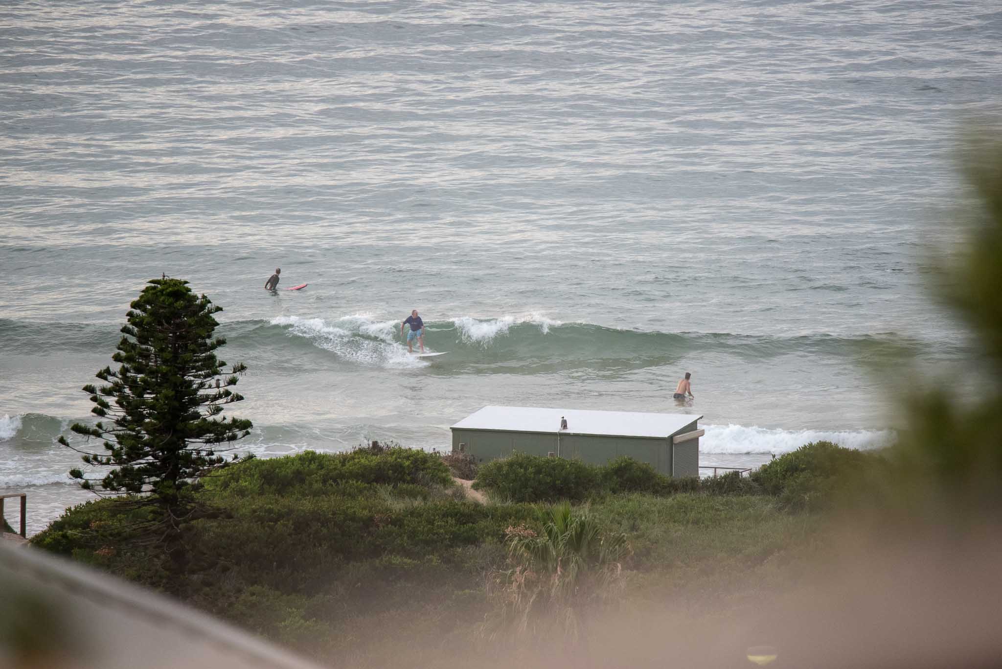
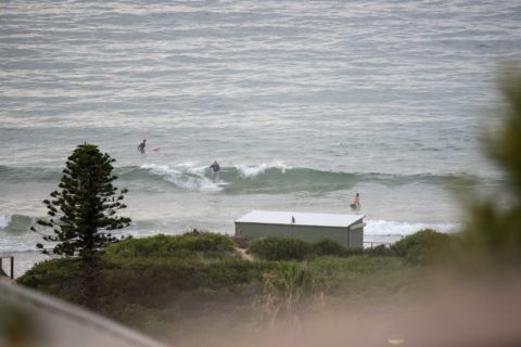
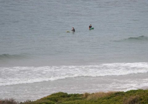
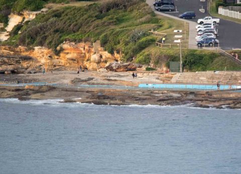
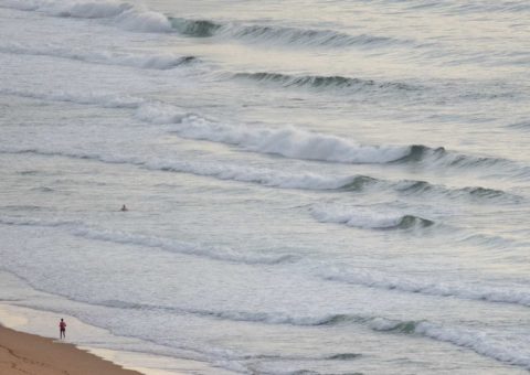
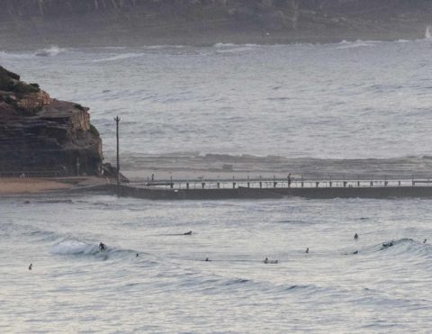
It was a crazy 29 before 030 at RealSurf HQ. There was only a breath of NNW wind, so the forecast of a high of 32 is believable. Fortunately for early risers there were some tiny waves at NE magnets. The Narrabeen stretch was producing knee to thigh high sets every now and again. Around at the Dee Why to Longy stretch it was smaller, but as one of the pics shows, there were occasional catchable sets at the Long Reef end. From the lugga south though, it looked too small to catch.
Tide was low at 0400 and will be back to high at 1030 – which probably won’t help with the predicted gradual decline in energy levels.
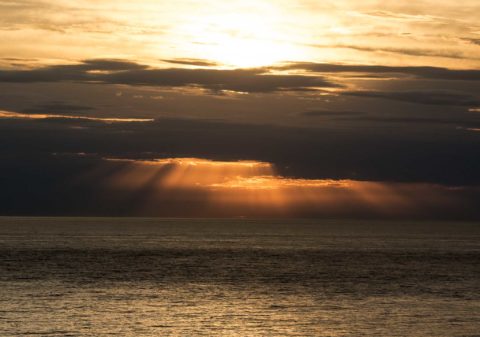
Outlook according to this morning’s models is for the wind and swell regime to go more S to SE later. Although the change should drop the temps from the daybreak high, it doesn’t look as though it’ll do much for the wave situation. Wind is expected to be out of the SE and the swell will only be a short period combo of SE and E wind bump.
Tomorrow some of the models say we could have 10-11 second period south, but the wind’ll be SE with it. And the week ahead currently looks generally small but not totally hopelessly so. With any luck there’ll be a few flashes of fun as wind and waves come together.
Your correspondent needs to head off to the Northern hemisphere in a few days for a couple months of family duties. Such are the rhythms of life. As far as RealSurf goes, I’ll try to help out with regular early morning analysis of the models and local observations for you. The Goat and my mate Michael have offered to put up the occasional eyeball report as well. Plus, as a special bonus, you’ll see the my postcards from California (it’s surf season there)on a regular basis.
Have yourself a great Saturday everyone!
Weather Situation
A trough will continue to move up the New South Wales coast on the weekend, bringing a south to southeasterly change to the southern and central coastal waters today and to most of the north coast on Sunday. A small-scale low is forecast to develop off the far north coast early Sunday, bringing strengthening southerly winds to northern coastal parts. Winds will turn northerly again along the southern and central coast on Monday as a new high pressure system becomes established over the Tasman Sea.
Forecast for Saturday until midnight
Winds
Northwest to southwesterly 10 to 15 knots shifting southerly 15 to 20 knots in the late morning then turning southeasterly in the early afternoon.
Seas
Below 1 metre, increasing to 1 to 1.5 metres around midday, then decreasing below 1 metre during the afternoon.
Swell
Northeasterly 1 to 1.5 metres, decreasing to around 1 metre by early evening.
Weather
Partly cloudy. 70% chance of showers. The chance of a thunderstorm during the morning and afternoon.
Sunday 15 January
Winds
Southeasterly 15 to 20 knots turning east to northeasterly 10 to 15 knots during the afternoon and evening.
Seas
1 to 1.5 metres, decreasing to 1 metre during the afternoon.
1st Swell
Southerly around 1 metre, increasing to 1.5 to 2 metres during the morning.
2nd Swell
Northeasterly around 1 metre.
Weather
Cloudy. 60% chance of showers.
Monday 16 January
Winds
Northeasterly 15 to 20 knots.
Seas
Around 1 metre, increasing to 1 to 2 metres during the afternoon or evening.
Swell
Southerly 1 to 1.5 metres.
Weather
Partly cloudy.
Please be aware
Wind gusts can be 40 percent stronger than the averages given here, and maximum waves may be up to twice the height.
Nearby Coastal Waters


