Hello Friends,
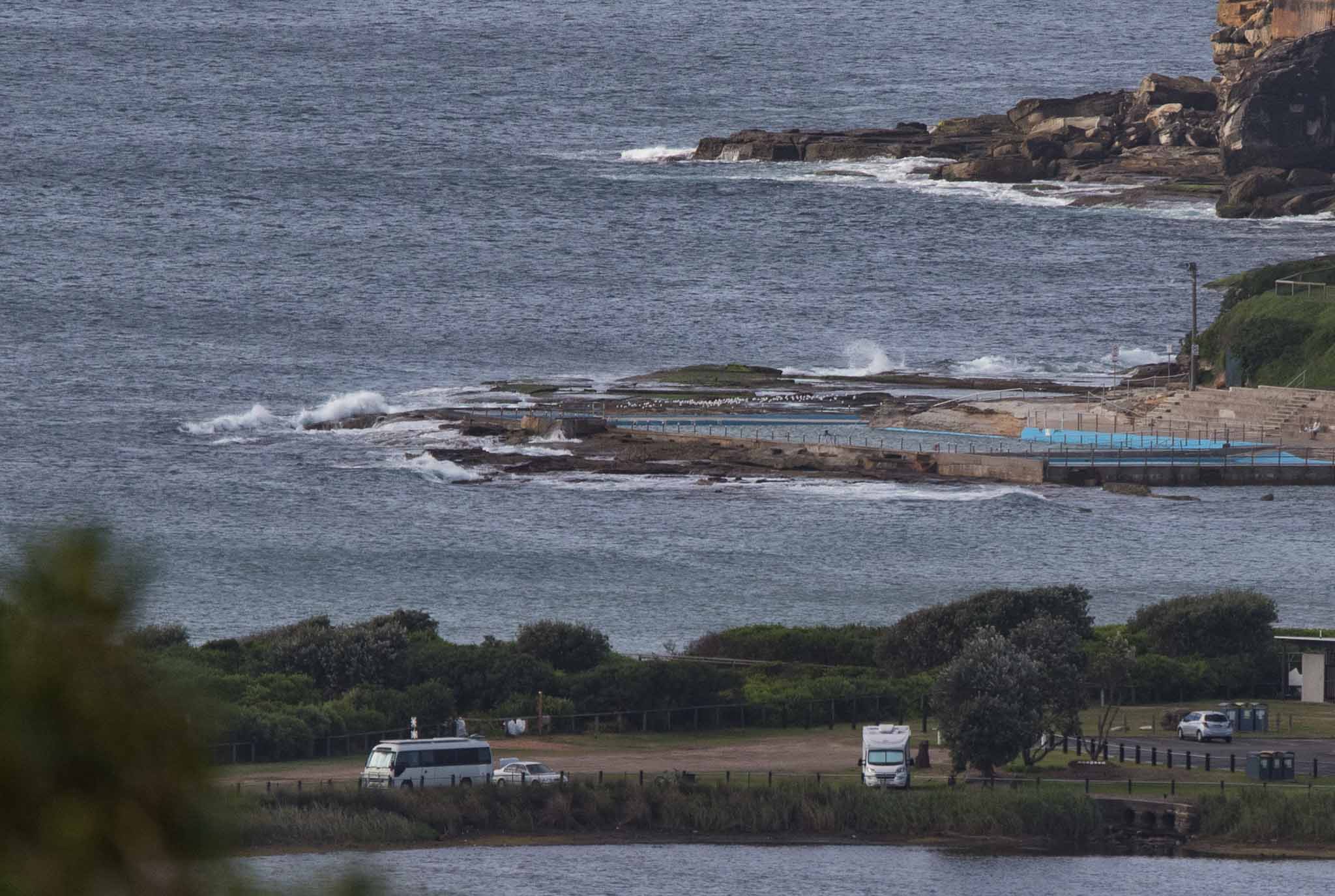
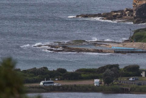
A rest day from surfing at Dee Why. Cool NW wind at around 15-20 kts as the morning got into gear. The MHL buoy was showing only half a metre of 7 second NE wind chop and as the picture shows, that means next to nothing on the waves front.
There’s no significant prospect of an improvement to energy levels today, but tomorrow should be interesting. The Bureau says we can expect gale force SW wind and a rapidly building south swell. The models vary as to when the peak will occur but the outlook is for it to get into the 3 metre range for a few hours before coming back to a little above 2 metres on average – and then staying at that intensity through to the weekend at least.
From Tuesday onward, the wind should be mainly from the SW to W. Add that to swell at around the 2 metre mark give or take at an average period of around 10 sec across the week and it looks to me like there’ll be a lot of surfin’ going on along the east coast.
So on that happy note, let me wish you a great Monday!
Weather Situation
A high pressure system in the Tasman Sea extends a ridge to the far north coast. A low over Bass Strait is moving east and an associated cold is currently over the northern parts of the coast is expected to reach the northern border this afternoon. As the low move further east across the Tasman Sea a vigorous south to southwesterly airstream will extend northwards on Tuesday before easing on Wednesday.
Forecast for Monday until midnight
Strong Wind Warning for Monday for Sydney Coast
Winds
West to northwesterly 20 to 30 knots tending west to south westerly in the early afternoon.
Seas
2 to 3 metres.
Swell
Northeasterly 1 to 1.5 metres, decreasing to around 1 metre during the morning.
Weather
Partly cloudy. 60% chance of showers offshore, 30% chance elsewhere. The chance of a thunderstorm offshore during this afternoon.
Tuesday 11 April
Gale Warning for Tuesday for Sydney Coast
Winds
Southwesterly 20 to 30 knots, reaching up to 35 knots during the morning. Winds turning southerly in the middle of the day.
Seas
2 to 2.5 metres, increasing to 2.5 to 4 metres during the morning.
Swell
South to southwesterly below 1 metre, increasing to 2 to 3.5 metres during the morning, then tending southerly during the afternoon.
Weather
Partly cloudy. 80% chance of showers offshore, 50% chance elsewhere.
Caution
Large and powerful surf conditions are expected to be hazardous for coastal activities such as crossing bars by boat and rock fishing.
Wednesday 12 April
Winds
Southerly 15 to 25 knots turning southeasterly 10 to 15 knots during the evening.
Seas
1.5 to 2.5 metres, decreasing to 1 to 1.5 metres during the morning.
1st Swell
Southerly 2 to 2.5 metres, decreasing to 1.5 metres during the evening.
2nd Swell
Easterly below 1 metre, tending southeasterly 1.5 metres during the evening.
Weather
Partly cloudy. 70% chance of showers.


