Hello Friends,
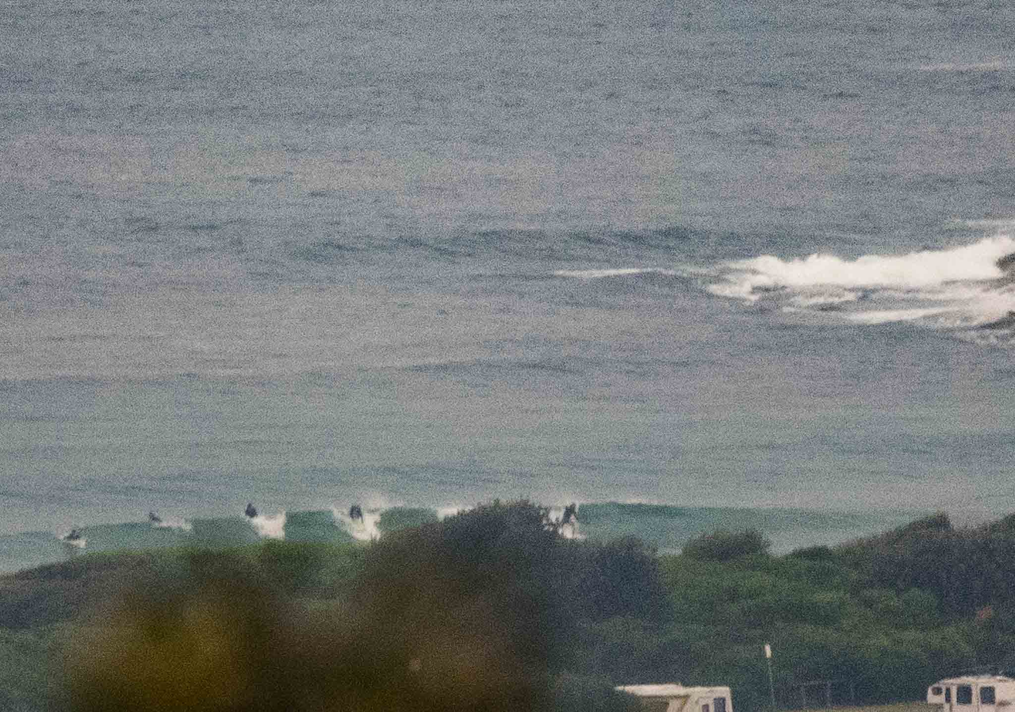
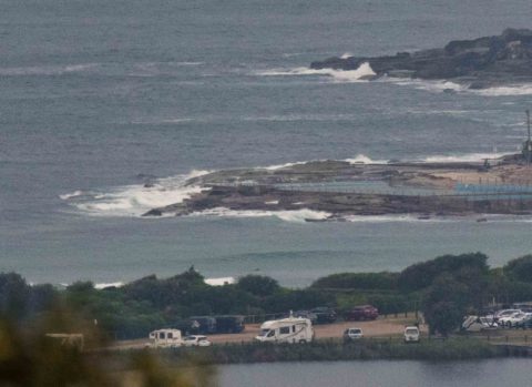
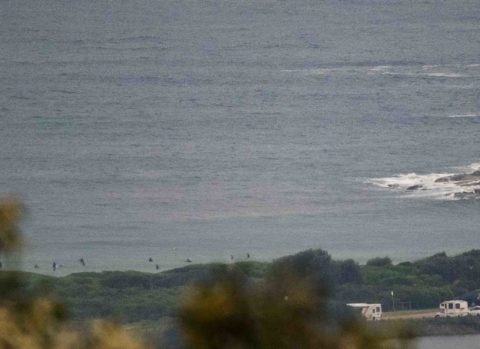
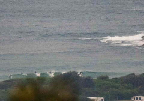
Light shower falling when I grabbed this morning’s pics of Dee Why. High tide’s at 0910 and although it’s a 1.4m peak, when combined with the weak swell, the results are pretty feeble looking. Sets look to be waist and a bit – maybe. Swell is out of the SE and was showing 1.3 metres as of 0500. Period was 9 seconds. So basically down a foot or so in the old money on yesterday.
Wind was light WNW as this at 0730 and is expected to go southerly 10-15 kts later. Should be cloudy all day with areas of smoke haze and the odd light shower.
Have a great Friday, and check out the Goat’s forecast for the coming week’s prospects.
Weather Situation
A weakening high pressure system is situated over southeast Australia, while a cold front passes to the south. This pattern is bringing mainly southerly winds to New South Wales waters, which should ease and become more variable on the weekend as a trough develops near the coast. A low is likely to develop over the Tasman Sea at the start of the new week, bringing a return to generally southerly winds.
Forecast for Friday until midnight
Winds
Southerly 10 to 15 knots becoming variable about 10 knots in the middle of the day.
Seas
Around 1 metre, decreasing below 1 metre around midday.
Swell
Southerly around 1 metre.
Weather
Cloudy. 80% chance of showers.
Saturday 13 May
Winds
Variable below 10 knots becoming north to northeasterly 10 to 15 knots in the morning.
Seas
Below 1 metre.
Swell
Easterly around 1 metre.
Weather
Partly cloudy. 70% chance of showers.
Sunday 14 May
Winds
Variable about 10 knots.
Seas
Below 1 metre.
Swell
Easterly around 1 metre.
Weather
Partly cloudy. 80% chance of showers.


