
Hello Friends,
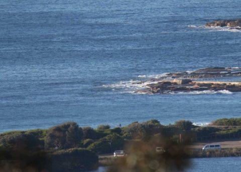
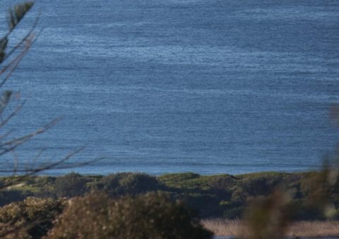
Sunny, mild and light NW breeze as of 0700. But no waves. Out at sea there’s less than a metre of 6-sec south swell. Not that it matters, but tide was high (1.3m) at 0700. The swell models are showing not much of anything until late Wednesday, early Thursday when we’re due for our next south pulse. It’s not shaping to be anything amazing, but wind should be offshore and 12-13 second period. But Saturday is currently looking very promising. It’s a long way out, but if today’s projections come to pass it could be overhead and punchy at south swell spots. Here’s hoping!
In the meantime, have yourself a great Monday everyone.
Weather Situation
A high pressure system is located over the northern Tasman Sea. A cold front will move through the far northeast later today. A deep low is located to the south of Tasmania and is expected to maintain a vigorous westerly airstream across most of the New South Wales coast through the week.
Forecast for Monday until midnight
Strong Wind Warning for Monday for Sydney Coast
Winds
West to northwesterly 15 to 25 knots reaching up to 30 knots offshore in the evening.
Seas
1 to 2 metres increasing to 1.5 to 2.5 metres in the evening.
Swell
Northeasterly around 1 metre.
Weather
Mostly sunny.
Tuesday 5 September
Strong Wind Warning for Tuesday for Sydney Coast
Winds
Westerly 20 to 30 knots decreasing to 15 to 25 knots early in the morning then increasing to 20 to 30 knots in the evening.
Seas
2 to 3 metres, decreasing to 1 to 1.5 metres around midday, then increasing to 1.5 to 2.5 metres by early evening.
Swell
Southerly below 1 metre.
Weather
Mostly sunny.
Wednesday 6 September
Winds
Westerly 20 to 30 knots.
Seas
1 to 1.5 metres, increasing to 2 to 3 metres offshore.
Swell
Southerly around 1 metre inshore, increasing to 1 to 1.5 metres offshore during the afternoon.
Weather
Partly cloudy


