Hello Friends,
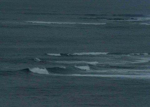
As of 0400, right in line with the forecast, the MHL buoy off Sydney was showing some serious numbers. There was a mix of two swell influences, but the one out of the SSE (154°) was dominant with a height at sea of 1.8 m at close to 17 seconds apart. Wind at 0630 was a light 4-5 kts from the north. Skies were heavily overcast but that should break up as we head to a high of 31. By midday the wind should be out of the north east. Tide hits a 1.7 m high at 0910 and will then drop back to a lowish 0.3 m at 1530.
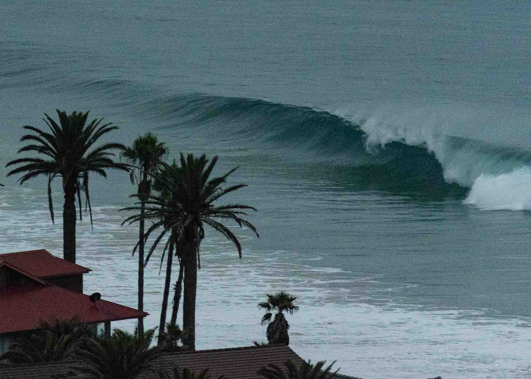
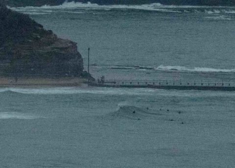
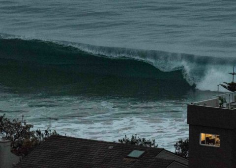
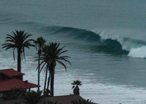
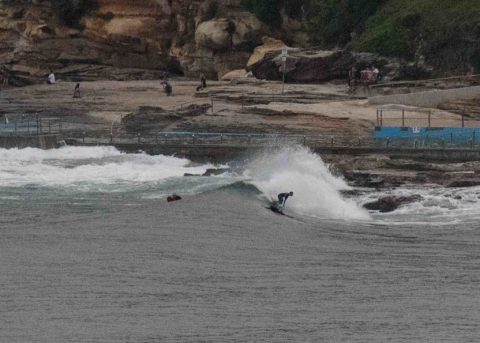
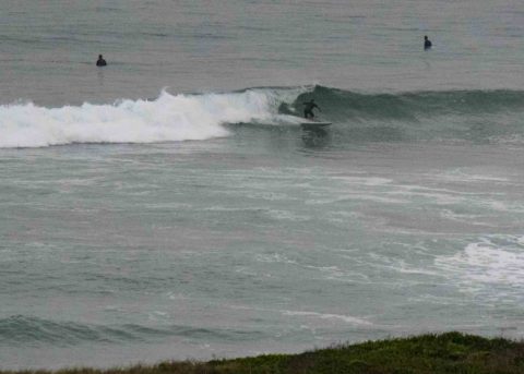
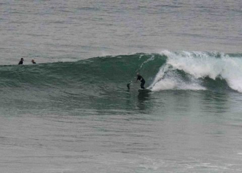
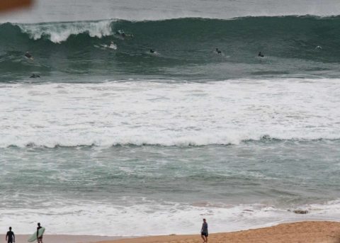
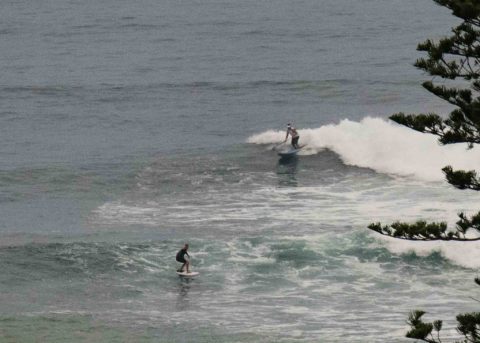
Checking it out at 0645 revealed a smooth sea and a setty swell. I reckon the rock fishers and beginning surfers should give it a miss because the ocean is being deceptive this morning. It can look small and then one of those long period lines marches in and unloads. That said, there were heaps of folks in the water along the Dee Why Longy stretch looking for their shot at a head high wall – even if it was 90% likely to shut down. Apart from a couple of enthusiasts inside at Whiterock and the usual knot of frothing locals at Northy, the Collaroy-Narrabeen stretch was surfer-free due to the closing out nature of the swell.
Outlook is for the swell to fade back later and tomorrow we could be back to the shorter period stuff (but with the odd remnant set) – which is kinda too bad given that it’s going to be a scorcher.
Looking at the week ahead, well, the Goat has called it and I think the models are bearing him out – it’s a tough one to figure out. As of today it would seem that the end of the week will be big but horribly windblown until maybe Saturday.
Go well and look out for shutting down walls!
Weather Situation
A high pressure system near New Zealand extends a ridge towards northeast New South Wales, as a cold front approaches from the Southern Ocean. This pattern will see northeast to northwesterly winds increasing, before the front brings a vigorous southerly change to southern and central parts of the coast on Sunday, weakening as it moves north on Monday. Following this, a strong high is expected to build over the southern Tasman Sea mid-week, pushing a new ridge along the New South Wales coast.
Forecast for Saturday until midnight
- Winds
- Northerly 10 to 15 knots, reaching 20 knots offshore, tending northeasterly in the afternoon.
- Seas
- 1 to 1.5 metres.
- 1st Swell
- Southerly 1 to 1.5 metres.
- 2nd Swell
- East to northeasterly around 1 metre.
- Weather
- Partly cloudy.
- Caution
- Surf conditions may be more powerful than they appear and are expected to be hazardous for coastal activities such as crossing bars by boat and rock fishing.
Sunday 18 March
- Winds
- Northerly 15 to 25 knots. A gusty southerly change at night.
- Seas
- 1 to 2 metres.
- 1st Swell
- Southerly around 1 metre.
- 2nd Swell
- East to northeasterly around 1 metre.
- Weather
- Sunny.
Monday 19 March
- Winds
- South to southwesterly 15 to 20 knots becoming northeasterly 10 to 15 knots during the afternoon.
- Seas
- 1 to 2 metres, decreasing below 1 metre during the morning.
- 1st Swell
- Southerly 1 to 1.5 metres.
- 2nd Swell
- Northeasterly 1 to 1.5 metres.
- Weather
- Sunny.


