Hello Friends,
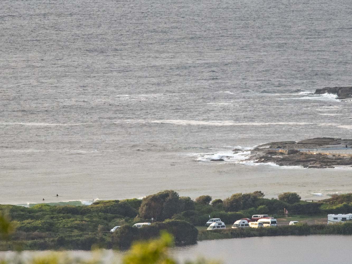
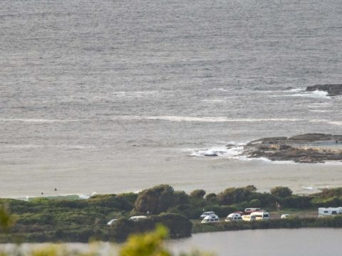
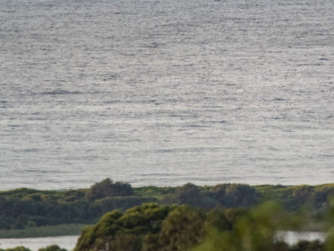
7-14 kts of SW wind under high overcast skies as Sydney took a break from the rain as the sun was coming up. Out at sea the MHL buoy was seeing 1.7 metres of 6-sec SSE wind bump as of 0500. As the pictures show, there’s nothing really showing at the point or along the beach toward Long Reef. According to the Bureau the south swell should pick up this morning and we should also have some east component turning up as well. Unfortunately the models are predicting that both swells will still be in the 6-8 second range – ie, weak wind bump. So, no real prospects of a significant improvement to the surf situation. Oh, and the wind is set to swing to the SE today – where it’s set to stay through Sunday.
The extraordinarily reliable Goat has rolled out a fresh forecast for the week ahead, and I have to say I wish I saw some reason to disagree with his call…
A special shout out to the kids joining their generation around the world today for the School Strike for Climate. If this hasn’t come across your radar before, the quickest way to understand what’s going on is to watch Swedish school kid Greta Thunberg’s powerful 3-minute speech to the latest UN Climate Change conference.
Weather Situation
A high pressure ridge across the Bight and the southern Tasman Sea, together with a coastal trough near the southern and central coasts, is directing east to northeasterly winds over the New South Wales coast. As the coastal trough deepens, a fresh to strong southerly change near the central coast this morning will extend to northern parts later today. Winds will gradually tend east to southeasterly during the weekend over the southern and central coast as the trough moves north.
Forecast for Friday until midnight
Strong Wind Warning for Friday for Sydney Coast
- Winds
- South to southwesterly 15 to 25 knots, reaching up to 30 knots during the morning and early afternoon. Winds turning southeasterly 15 to 20 knots during the afternoon and evening.
- Seas
- 2 to 3 metres.
- 1st Swell
- Southerly below 1 metre, increasing to 1 to 2 metres during the morning.
- 2nd Swell
- Easterly around 1 metre, increasing to 1.5 metres by early evening.
- Weather
- Cloudy. 90% chance of showers. The chance of a thunderstorm with heavy rain at times.
Saturday 16 March
- Winds
- Southeasterly 15 to 20 knots.
- Seas
- 1 to 2 metres.
- 1st Swell
- Southerly 1 to 2 metres, decreasing to around 1 metre during the morning.
- 2nd Swell
- East to southeasterly around 1 metre.
- Weather
- Cloudy. 80% chance of showers. The chance of a thunderstorm.
Sunday 17 March
- Winds
- Southeasterly 15 to 20 knots turning southerly 10 to 15 knots during the evening.
- Seas
- 1.5 to 2 metres, decreasing to 1 to 1.5 metres during the afternoon.
- 1st Swell
- Easterly around 1 metre, increasing to 1 to 1.5 metres during the morning.
- 2nd Swell
- Southerly around 1 metre.
- Weather
- Cloudy. 90% chance of showers. The chance of a thunderstorm.

