Hello Friends,
6-8 kts of east wind helping the lumpy bumpy conditions stay that way in the late morning. Sunny conditions with two metres of 9-sec east swell continuing into its third day. Water is still 19 too. Tomorrow should be kinda similar but the swell’s expected to be fading back to a metre or so. Monday’s winds look better, but it could be rainy too. It’s not great, but you should be able to get something if you’re stoked enough.
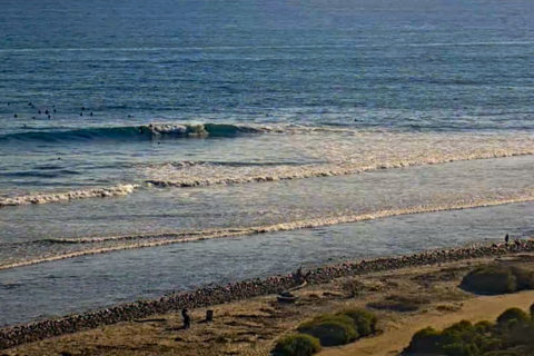
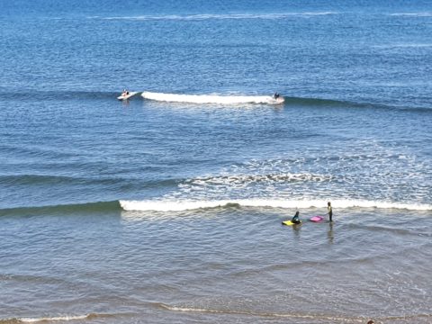
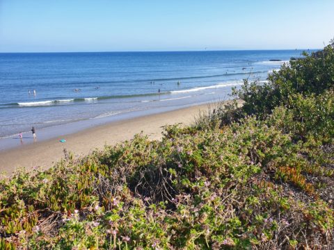
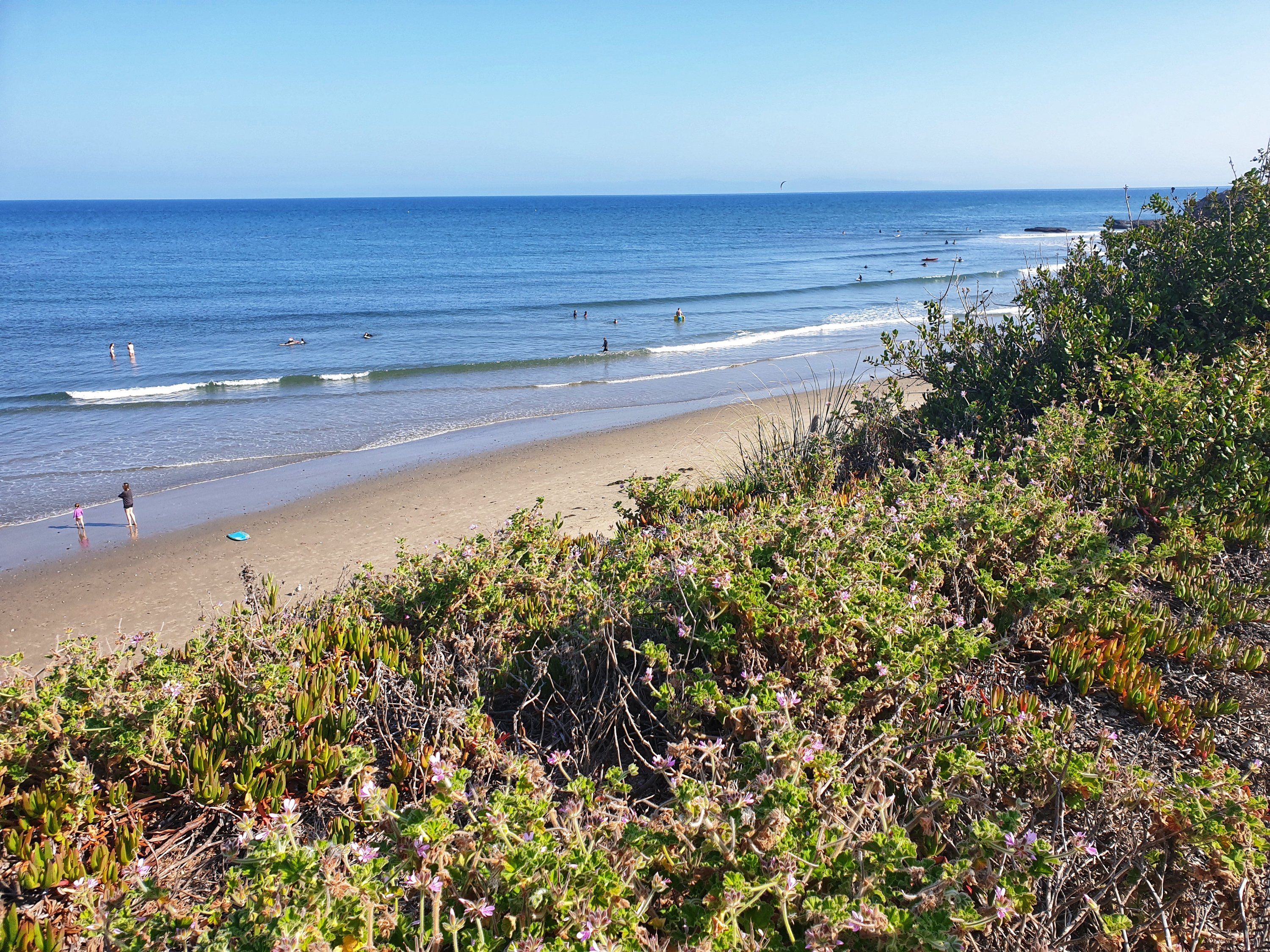
Back to near flat in my corner of California today, but down the coast at Trestles they were seeing head high rights and lefts. And it wasn’t super crowded either. Postcards below the marine weather forecast…
Weather Situation
A strong high pressure system over the southern Tasman Sea is slowly moving east while directing east to southeasterly winds across the New South Wales waters. On the weekend, winds will gradually turn northerly over southern and central waters as a trough approaches from the west. This trough will bring a south to southwesterly change on Monday and Tuesday.
Forecast for Saturday until midnight
- Winds
- East to northeasterly 10 to 15 knots.
- Seas
- Around 1 metre.
- Swell
- Easterly 1.5 to 2 metres.
- Weather
- Partly cloudy. 60% chance of showers.
Sunday 7 July
- Winds
- East to northeasterly about 10 knots.
- Seas
- Below 1 metre.
- Swell
- Easterly 1 to 1.5 metres.
- Weather
- Partly cloudy. 50% chance of showers.
Monday 8 July
- Winds
- North to northeasterly about 10 knots turning west to northwesterly 10 to 15 knots during the afternoon.
- Seas
- Below 1 metre.
- Swell
- Easterly around 1 metre.
- Weather
- Cloudy. 80% chance of showers. The chance of a thunderstorm in the afternoon and evening.
POSTCARDS FROM CALI