Hello Friends,
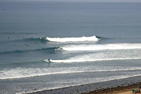
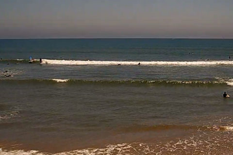
Only about a metre of SSE swell at 7-10 sec showing on the buoy off Sydney. Light NNW breezes for the early and still dropping to the low tide around 0840. Knee to maybe waist at the magnets, but don’t expect much. I’d say a few rest days coming up and then maybe early next week you’ll be seeing fun winter surf for a couple of days at least. Long range shaping up nicely too…
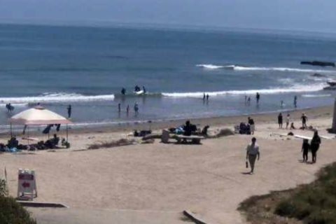
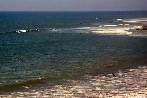
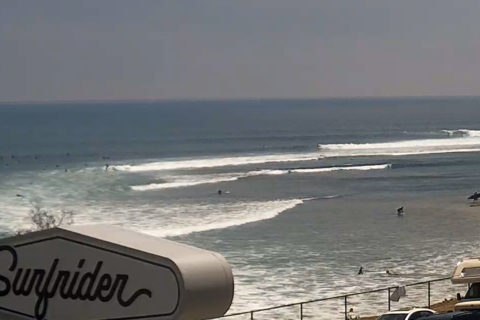
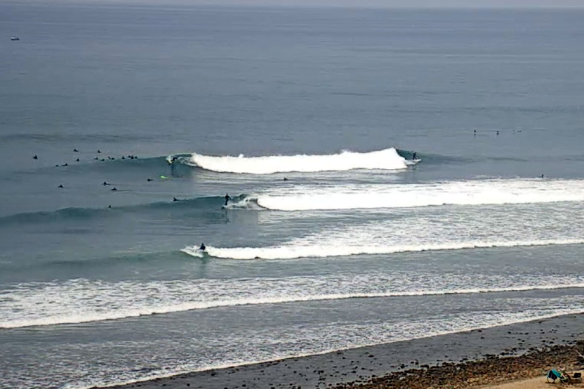
Here in Cali, the southerly swell from way downunder was pretty good south of Ventura. Orange county was looking the best and Trestles was head plus and looking ultra tasty on the cams, but the closer you get to where I am, the more marginal it gets… argh, summer in SB county.
Weather Situation
Two fronts will move through southern and central waters over the next few days: one this morning and the other late Friday or early Saturday. These two systems will maintain vigorous northwest to southwesterly winds over most of the New South Wales coast from Thursday through to Saturday.
Forecast for Thursday until midnight
Strong Wind Warning for Thursday for Sydney Coast
- Winds
- Northwesterly 20 to 30 knots tending westerly 15 to 25 knots in the afternoon.
- Seas
- 2 to 3 metres, decreasing to 1.5 to 2 metres during the afternoon.
- Swell
- Southerly around 1 metre.
- Weather
- Sunny.
Friday 12 July
Strong Wind Warning for Friday for Sydney Coast
- Winds
- West to northwesterly 15 to 25 knots, reaching up to 30 knots offshore.
- Seas
- 1 to 2 metres, increasing to 2 to 3 metres during the morning.
- Swell
- Southerly around 1 metre.
- Weather
- Mostly sunny.
Saturday 13 July
- Winds
- Northwesterly 20 to 30 knots turning west to southwesterly 25 to 30 knots during the day.
- Seas
- 2 to 3 metres.
- 1st Swell
- Southerly around 1 metre, increasing to 2 to 3 metres during the afternoon.
- 2nd Swell
- Easterly around 1 metre.
- Weather
- Mostly sunny.