Hello Friends,
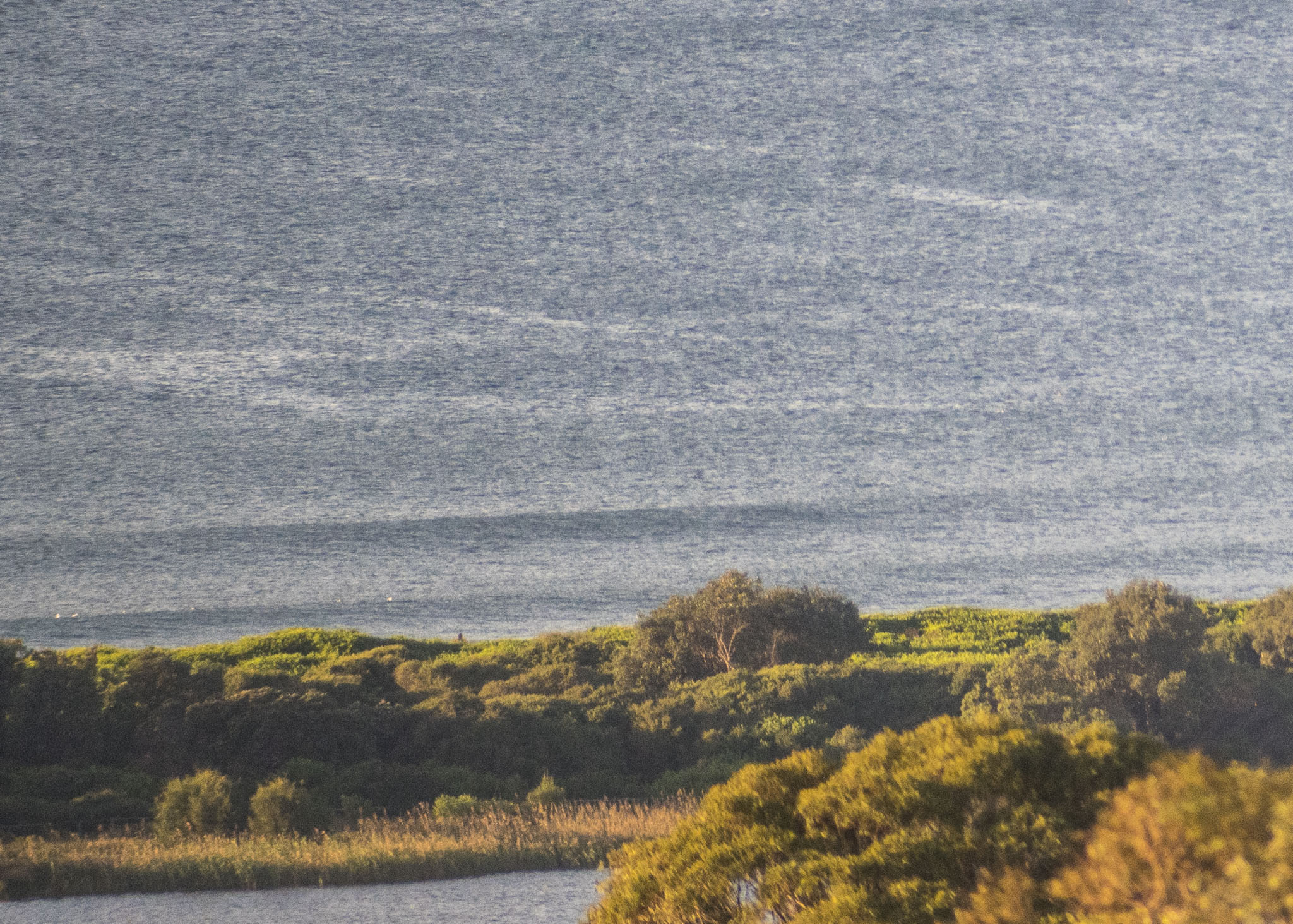
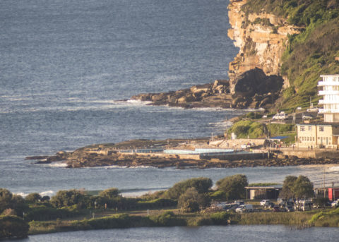
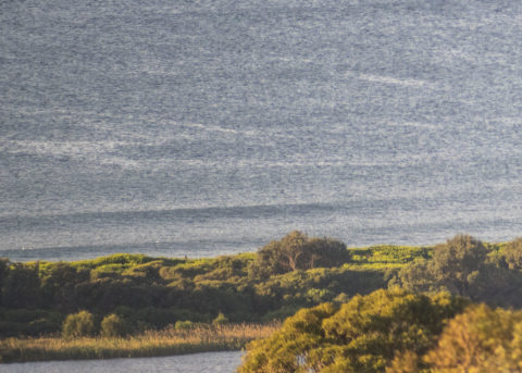
Yesterday’s rain has cleared away to leave a sparkling and very chilly morning for Sydney. Yesterday evening there were some NE wind bumps around, but Dee Why wasn’t showing much of anything and that’s still the situation. I couldn’t see anyone in the water at 0715, which was understandable given how microscopic it looked. Out at sea the wave buoys were seeing a touch over a metre of 10-sec NE swell, so there should be waist with the odd plus at the best exposures. Wind early was 7-10 kts from the WNW. It should pick up into the 20-25 kt range as the swell stays at about the current intensity.
It’s Friday, so that means you should jump over to the latest surfin’ outlook from the mighty Goat.
By Order of the Federal Government, our beaches are open for exercise only – surfing, swimming, running and walking. Beaches will be closed due to unsafe conditions and or mass gatherings. All pools are closed at this time.
Please see some commonly asked questions about the beach closures.
If people are sunbaking or gathering on the beach, they will be asked to move along by our lifeguards, rangers or the police.
Due to the risk of Coronavirus and acting on direction of NSW and Federal Governments, Council has closed many public areas. View the latest updates on the evolving situation with Coronavirus (COVID-19).
In addition, it is against the law to gather with more than two people in public, except:
- for members of the same household
- where the gathering is essential for work or education
- If you go out, stay 1.5 metres away from other people at all times.
The rules are also now enforceable and Police are issuing fines of $1000 for individuals and $5000 for companies. These are difficult circumstances and we appreciate your patience and understanding.
Weather Situation
Vigorous westerly winds, in the wake of a cold front that crossed the region yesterday, will persist and be reinforced today and Saturday as a complex low near Tasmania moves east. Winds will shift southerly and hazardous surf conditions develop on Sunday as the low loses its influence and a new high pushes a ridge across from the west.
Forecast for Friday until midnight
Strong Wind Warning for Friday for Sydney Coast
- Winds
- West to northwesterly 20 to 25 knots, reaching up to 30 knots during the afternoon and evening.
- Seas
- 2 to 3 metres.
- Swell
- Northeasterly 1 to 1.5 metres.
- Weather
- Partly cloudy.
Saturday 2 May
Gale Warning for Saturday for Sydney Coast
- Winds
- Northwesterly 30 to 35 knots tending westerly 25 to 30 knots before dawn then increasing to 25 to 35 knots in the early afternoon.
- Seas
- 2 to 4 metres.
- 1st Swell
- Southerly around 1 metre.
- 2nd Swell
- Northeasterly around 1 metre.
- Weather
- Mostly sunny.
Sunday 3 May
- Winds
- West to southwesterly 25 to 30 knots tending south to southwesterly 20 to 30 knots during the day.
- Seas
- 2 to 3 metres.
- 1st Swell
- Southerly 1 to 2 metres, increasing to 2 to 4 metres during the morning.
- 2nd Swell
- Easterly 1 to 2 metres, increasing to 2 to 3 metres during the evening.
- Weather
- Partly cloudy.


